2675 Longbranch Rd Eagle Point, OR 97524
Estimated Value: $514,000 - $698,000
2
Beds
2
Baths
1,200
Sq Ft
$517/Sq Ft
Est. Value
About This Home
This home is located at 2675 Longbranch Rd, Eagle Point, OR 97524 and is currently estimated at $620,125, approximately $516 per square foot. 2675 Longbranch Rd is a home located in Jackson County with nearby schools including Shady Cove School, Eagle Point Middle School, and White Mountain Middle School.
Ownership History
Date
Name
Owned For
Owner Type
Purchase Details
Closed on
Mar 28, 2022
Sold by
Earle Donald B
Bought by
Nash Cheryl Ann and Nash Devon Paul
Current Estimated Value
Home Financials for this Owner
Home Financials are based on the most recent Mortgage that was taken out on this home.
Original Mortgage
$425,000
Interest Rate
4.42%
Mortgage Type
Balloon
Purchase Details
Closed on
Sep 25, 2001
Sold by
Finigan Edith E
Bought by
Earle Donald B
Home Financials for this Owner
Home Financials are based on the most recent Mortgage that was taken out on this home.
Original Mortgage
$166,315
Interest Rate
6.91%
Purchase Details
Closed on
Sep 24, 2001
Sold by
Earle Donald B
Bought by
Earle Donald B and Earle Michelle K
Home Financials for this Owner
Home Financials are based on the most recent Mortgage that was taken out on this home.
Original Mortgage
$166,315
Interest Rate
6.91%
Create a Home Valuation Report for This Property
The Home Valuation Report is an in-depth analysis detailing your home's value as well as a comparison with similar homes in the area
Purchase History
| Date | Buyer | Sale Price | Title Company |
|---|---|---|---|
| Nash Cheryl Ann | $641,000 | First American Title | |
| Earle Donald B | $185,000 | Jackson County Title | |
| Earle Donald B | $185,000 | Jackson County Title |
Source: Public Records
Mortgage History
| Date | Status | Borrower | Loan Amount |
|---|---|---|---|
| Previous Owner | Nash Cheryl Ann | $425,000 | |
| Previous Owner | Earle Donald B | $166,315 |
Source: Public Records
Tax History
| Year | Tax Paid | Tax Assessment Tax Assessment Total Assessment is a certain percentage of the fair market value that is determined by local assessors to be the total taxable value of land and additions on the property. | Land | Improvement |
|---|---|---|---|---|
| 2026 | $1,631 | $95,612 | -- | -- |
| 2025 | $1,568 | $124,277 | $15,957 | $108,320 |
| 2024 | $1,568 | $120,778 | $15,608 | $105,170 |
| 2023 | $1,459 | $120,576 | $15,406 | $105,170 |
| 2022 | $1,496 | $120,576 | $15,406 | $105,170 |
| 2021 | $1,447 | $117,190 | $15,070 | $102,120 |
| 2020 | $1,547 | $113,898 | $14,748 | $99,150 |
| 2019 | $1,523 | $107,603 | $14,133 | $93,470 |
| 2018 | $1,527 | $105,988 | $13,848 | $92,140 |
| 2017 | $1,376 | $105,988 | $13,848 | $92,140 |
| 2016 | $1,301 | $100,144 | $13,284 | $86,860 |
| 2015 | $1,310 | $102,634 | $9,964 | $92,670 |
| 2014 | $1,224 | $95,029 | $12,599 | $82,430 |
Source: Public Records
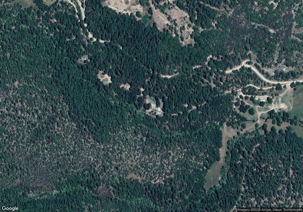
Map
Nearby Homes
- 5845 Rhodes Ln
- 363 Kitty Dr
- 218 Long Branch Rd
- 461 Sawyer Rd
- 536 Rogue Air Dr
- 502 Buckhorn Ln
- 332 Rene Dr
- 0 Citadel Rd
- 330 Penny Ln
- 78 Maple Dr
- 7422 Rogue River Dr
- 302 Penny Ln
- 300 Citadel Rd
- 0 Cabetowne Way Unit 220200666
- 343 Rene Dr
- 235 Citadel Rd
- 551 Hudspeth Ln
- 217 White Oak Way
- 209 White Oak Way
- 120 Linda Ln
- 2675 Long Branch Rd
- 0 Long Branch Rd
- 2601 Long Branch Rd
- 2626 Long Branch Rd
- 2601 Longbranch Rd
- 2755 Long Branch Rd
- 2796 Longbranch Rd
- 2358 Longbranch Rd
- 2320 Longbranch Rd
- 2358 Long Branch Rd
- 2320 Long Branch Rd
- 5991 Rogue River Dr
- 2801 Long Branch Rd
- 5987 Rogue River Dr
- 5939 Rogue River Dr
- 2030 Longbranch Rd
- 2030 Long Branch Rd
- 5885 Rhodes Ln
- 5889 Rogue River Dr
- 5873 Rogue River Dr
Your Personal Tour Guide
Ask me questions while you tour the home.