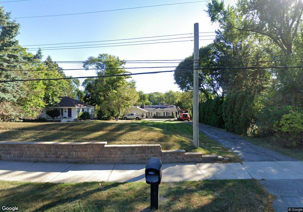
2677 Middlebelt Rd West Bloomfield, MI 48324
Estimated Value: $514,000 - $839,000
3
Beds
3
Baths
1,889
Sq Ft
$340/Sq Ft
Est. Value
About This Home
This home is located at 2677 Middlebelt Rd, West Bloomfield, MI 48324 and is currently estimated at $641,799, approximately $339 per square foot. 2677 Middlebelt Rd is a home located in Oakland County with nearby schools including Walt Whitman Elementary School, Pontiac Middle School, and Pontiac High School.
Ownership History
Date
Name
Owned For
Owner Type
Purchase Details
Closed on
Jun 14, 2024
Sold by
Lillie Anderson Revocable Trust
Bought by
Lillie Anderson Revocable Trust and Anderson
Current Estimated Value
Purchase Details
Closed on
May 31, 2024
Sold by
Andrson Lillie and Anderson Thomas E
Bought by
Lillie Anderson Revocable Trust and Anderson
Purchase Details
Closed on
Nov 12, 2013
Sold by
Anderson Lillie and Anderson Thomas E
Bought by
The Lillie Anderson Revocable Trust
Create a Home Valuation Report for This Property
The Home Valuation Report is an in-depth analysis detailing your home's value as well as a comparison with similar homes in the area
Home Values in the Area
Average Home Value in this Area
Purchase History
| Date | Buyer | Sale Price | Title Company |
|---|---|---|---|
| Lillie Anderson Revocable Trust | -- | None Listed On Document | |
| Lillie Anderson Revocable Trust | -- | None Listed On Document | |
| Lillie Anderson Revocable Trust | -- | None Listed On Document | |
| Lillie Anderson Revocable Trust | -- | None Listed On Document | |
| The Lillie Anderson Revocable Trust | -- | None Available |
Source: Public Records
Tax History Compared to Growth
Tax History
| Year | Tax Paid | Tax Assessment Tax Assessment Total Assessment is a certain percentage of the fair market value that is determined by local assessors to be the total taxable value of land and additions on the property. | Land | Improvement |
|---|---|---|---|---|
| 2024 | $2,893 | $248,030 | $0 | $0 |
| 2022 | $2,760 | $204,940 | $90,400 | $114,540 |
| 2021 | $4,538 | $189,550 | $0 | $0 |
| 2020 | $2,541 | $180,990 | $90,400 | $90,590 |
| 2018 | $4,341 | $175,770 | $90,000 | $85,770 |
| 2015 | -- | $144,860 | $0 | $0 |
| 2014 | -- | $135,910 | $0 | $0 |
| 2011 | -- | $130,270 | $0 | $0 |
Source: Public Records
Map
Nearby Homes
- 2665 Middlebelt Rd
- 2360 Pineview
- 2622 Pine Ridge Rd
- 2121 Uplong St
- 2300 Pine Lake Rd
- 2314 Middlebelt Rd
- 2372 Pine Lake Rd
- 2954 Long Ridge Ct
- 2230 Middlebelt Rd
- 2216 Middlebelt Rd
- 2630 Depew Dr
- 2468 Walce Dr
- 3668 Bayou Dr
- 1831 Long Pointe Dr
- 2084 Woodrow Wilson Blvd Unit A6
- 2411 Pine Lake Ave
- 2779 Turtle Lake Dr
- 2276 Shore Hill Dr
- 2918 Nagle Ct
- 1968 Maplewood Ave
- 2701 Middlebelt Rd
- 2649 Middlebelt Rd
- 2635 Middlebelt Rd
- 2725 Middlebelt Rd
- 2617 Middlebelt Rd Unit Bldg-Unit
- 2617 Middlebelt Rd
- 2741 Middlebelt Rd Unit Bldg-Unit
- 2741 Middlebelt Rd
- 2680 Middlebelt Rd
- 2660 Middlebelt Rd
- 2700 Middlebelt Rd
- 2640 Middlebelt Rd
- 2591 Middlebelt Rd
- 2720 Middlebelt Rd
- 2620 Middlebelt Rd
- 2761 Middlebelt Rd
- 2740 Middlebelt Rd
- 2679 Saint Joseph St
- 2659 Saint Joseph St
- 2590 Middlebelt Rd