26778 Springfield Cir Columbia Station, OH 44028
Estimated Value: $658,000 - $933,000
4
Beds
4
Baths
3,557
Sq Ft
$213/Sq Ft
Est. Value
About This Home
This home is located at 26778 Springfield Cir, Columbia Station, OH 44028 and is currently estimated at $757,691, approximately $213 per square foot. 26778 Springfield Cir is a home with nearby schools including Falls-Lenox Primary Elementary School, Olmsted Falls Intermediate Building, and Olmsted Falls Middle School.
Ownership History
Date
Name
Owned For
Owner Type
Purchase Details
Closed on
Dec 16, 2013
Sold by
Stone Lake Estates Llc Bank
Bought by
Buckeye Community Bank
Current Estimated Value
Home Financials for this Owner
Home Financials are based on the most recent Mortgage that was taken out on this home.
Original Mortgage
$84,000
Outstanding Balance
$44,895
Interest Rate
5%
Mortgage Type
Adjustable Rate Mortgage/ARM
Estimated Equity
$712,796
Purchase Details
Closed on
Dec 5, 2013
Sold by
Stone Ridge Lake Estates Llc
Bought by
Gebbie Sean M and Gebbie Jennifer
Home Financials for this Owner
Home Financials are based on the most recent Mortgage that was taken out on this home.
Original Mortgage
$84,000
Outstanding Balance
$44,895
Interest Rate
5%
Mortgage Type
Adjustable Rate Mortgage/ARM
Estimated Equity
$712,796
Purchase Details
Closed on
Aug 21, 2006
Sold by
Stone Ridge Lakes Llc
Bought by
Stone Ridge Lakes Llc
Create a Home Valuation Report for This Property
The Home Valuation Report is an in-depth analysis detailing your home's value as well as a comparison with similar homes in the area
Home Values in the Area
Average Home Value in this Area
Purchase History
| Date | Buyer | Sale Price | Title Company |
|---|---|---|---|
| Buckeye Community Bank | -- | Erieview Title Agency Llc | |
| Gebbie Sean M | $105,000 | Title Support Services Ltd | |
| Stone Ridge Lakes Llc | -- | None Available |
Source: Public Records
Mortgage History
| Date | Status | Borrower | Loan Amount |
|---|---|---|---|
| Open | Gebbie Sean M | $84,000 |
Source: Public Records
Tax History Compared to Growth
Tax History
| Year | Tax Paid | Tax Assessment Tax Assessment Total Assessment is a certain percentage of the fair market value that is determined by local assessors to be the total taxable value of land and additions on the property. | Land | Improvement |
|---|---|---|---|---|
| 2024 | $10,786 | $187,754 | $33,355 | $154,399 |
| 2023 | $6,999 | $101,294 | $45,906 | $55,388 |
| 2022 | $13,444 | $202,587 | $45,906 | $156,681 |
| 2021 | $13,447 | $202,587 | $45,906 | $156,681 |
| 2020 | $13,829 | $185,350 | $42,000 | $143,350 |
| 2019 | $12,371 | $185,350 | $42,000 | $143,350 |
| 2018 | $12,503 | $185,350 | $42,000 | $143,350 |
| 2017 | $12,561 | $173,310 | $36,950 | $136,360 |
| 2016 | $12,668 | $173,310 | $36,950 | $136,360 |
| 2015 | $1,951 | $25,700 | $25,700 | $0 |
| 2014 | $1,856 | $25,700 | $25,700 | $0 |
| 2013 | $1,856 | $25,700 | $25,700 | $0 |
Source: Public Records
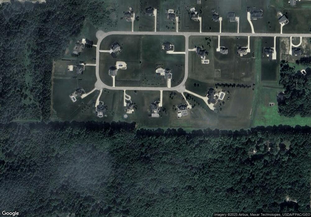
Map
Nearby Homes
- 26571 Sprague Rd
- 9783 Burts Way
- 9985 Ethan Dr
- 9966 Ethan Dr
- 9954 Ethan Dr
- 27346 Tiller Dr
- 9425 Ravinia Dr
- 8972 Sharp Rd
- 8860 Sharp Rd
- 25914 Nichols Rd
- 33700 Henwell Rd
- 26201 Nichols Rd
- 0 Sprague Rd
- 8706 Stearns Rd
- 8665 Westfield Park Dr
- 27224 Emerald Oval N
- 9100 Ashwood Ct
- 9050 Ashwood Ct
- 26724 Lake of the Falls Blvd
- 26739 Lake of the Falls Blvd
- 0 Springfield Cir Unit 3993963
- S/L 17 Springfield Cir
- S/L 19 Springfield Cir
- 26780 Springfield Cir
- 26776 Springfield Cir
- 26783 Springfield Cir
- 26785 Springfield Cir
- 26771 Springfield Cir
- 26774 Springfield Cir Unit SL 14
- 26769 Springfield Cir
- 26782 Springfield Cir
- 26599 Glencove Trail
- 26690 Glencove Trail
- 26652 Glencove Trail
- 27 Springfield Dr
- 23 Springfield Dr
- 21 Springfield Dr
- 26561 Glencove Trail
- 26772 Springfield Cir
- 26614 Glencove Trail