Estimated Value: $202,222 - $221,000
3
Beds
1
Bath
1,107
Sq Ft
$194/Sq Ft
Est. Value
About This Home
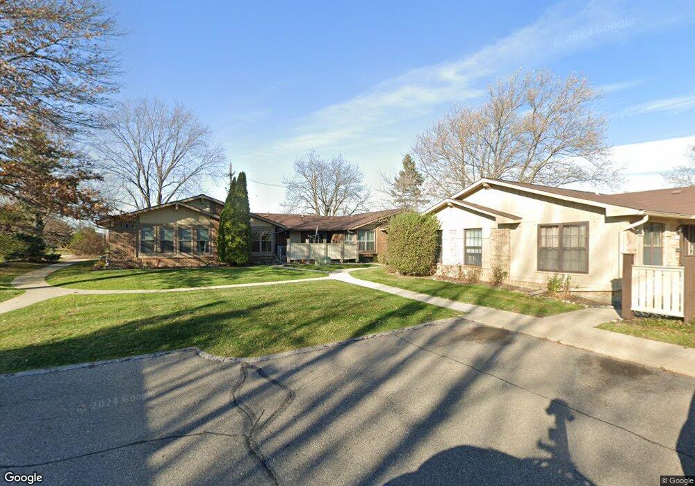
This home is located at 2678 Roundtree Dr Unit 3 10, Troy, MI 48083 and is currently estimated at $215,056, approximately $194 per square foot. 2678 Roundtree Dr Unit 3 10 is a home located in Oakland County with nearby schools including Barnard Elementary School, Baker Middle School, and Athens High School.
Ownership History
Date
Name
Owned For
Owner Type
Purchase Details
Closed on
Aug 1, 2013
Sold by
Rkd Llc
Bought by
2678 Roundtree Llc
Current Estimated Value
Purchase Details
Closed on
Mar 6, 2013
Sold by
Northshore Investment Group Llc
Bought by
2678 Roundtree Llc
Purchase Details
Closed on
Feb 2, 2013
Sold by
Johnson Manette Michelle and Johnson James Lee
Bought by
Northshore Investment Group Llc
Purchase Details
Closed on
Jan 8, 2013
Sold by
Johnson Manette M and Johnson James L
Bought by
Rkd Llc
Purchase Details
Closed on
Apr 3, 2006
Sold by
Hansman Dorothy
Bought by
Johnson Manette M
Create a Home Valuation Report for This Property
The Home Valuation Report is an in-depth analysis detailing your home's value as well as a comparison with similar homes in the area
Home Values in the Area
Average Home Value in this Area
Purchase History
| Date | Buyer | Sale Price | Title Company |
|---|---|---|---|
| 2678 Roundtree Llc | -- | None Available | |
| 2678 Roundtree Llc | -- | None Available | |
| Northshore Investment Group Llc | $200 | None Available | |
| Rkd Llc | $36,916 | None Available | |
| Johnson Manette M | $135,000 | None Available |
Source: Public Records
Tax History
| Year | Tax Paid | Tax Assessment Tax Assessment Total Assessment is a certain percentage of the fair market value that is determined by local assessors to be the total taxable value of land and additions on the property. | Land | Improvement |
|---|---|---|---|---|
| 2022 | $1,456 | $73,110 | $0 | $0 |
| 2015 | $1,751 | $35,860 | $0 | $0 |
| 2014 | -- | $30,940 | $0 | $0 |
| 2011 | -- | $27,550 | $0 | $0 |
Source: Public Records
Map
Nearby Homes
- 2679 Roundtree Dr
- 2149 Isabell Dr
- 2919 Roundtree Dr Unit 209
- 2731 Roundtree Dr
- 80 S Trail Ct
- 2850 Roundtree Dr Unit 184
- 2386 Milverton Dr
- 1828 John R Rd
- 2023 Cecil Dr
- 3941 Capstan Ct
- 3929 Capstan Ct
- 3930 Capstan Ct
- 3989 Capstan Ct
- 2299 Vermont Dr
- 1711 Crestline Dr
- 1853 Milverton Dr
- 1580 Crimson Dr
- 3438 Harmony Dr
- 2811 Rhodes Dr
- 2099 Mary Ann Dr
- 2678 Roundtree Dr Unit 10
- 2678 Roundtree Dr
- 2674 Roundtree Dr Unit 9
- 2672 Roundtree Dr
- 2676 Roundtree Dr Unit 11
- 2676 Roundtree Dr Unit 3
- 2679 Roundtree Dr Dr
- 2680 Roundtree Dr Unit 16
- 2680 Roundtree Dr
- 2612 John R Rd
- 2610 John R Rd
- 2053 Garry Dr
- 2059 Garry Dr
- 2687 Roundtree Dr
- 2688 Roundtree Dr
- 2065 Garry Dr
- 2596 John R Rd
- 2696 Roundtree Dr Unit 24
- 2703 Roundtree Dr Unit 33
- 2703 Roundtree Dr Unit 9, 33
Your Personal Tour Guide
Ask me questions while you tour the home.