2679 N 800 East Rd Moweaqua, IL 62550
Estimated Value: $175,000 - $260,000
4
Beds
1
Bath
1,324
Sq Ft
$170/Sq Ft
Est. Value
About This Home
This home is located at 2679 N 800 East Rd, Moweaqua, IL 62550 and is currently estimated at $225,615, approximately $170 per square foot. 2679 N 800 East Rd is a home located in Shelby County with nearby schools including Central A&M High School.
Ownership History
Date
Name
Owned For
Owner Type
Purchase Details
Closed on
Jun 8, 2021
Sold by
Pirtle Billie L and Pirtle Elaine L
Bought by
Pirtle Tommy L
Current Estimated Value
Home Financials for this Owner
Home Financials are based on the most recent Mortgage that was taken out on this home.
Original Mortgage
$149,024
Outstanding Balance
$132,408
Interest Rate
3.95%
Mortgage Type
Construction
Estimated Equity
$93,207
Create a Home Valuation Report for This Property
The Home Valuation Report is an in-depth analysis detailing your home's value as well as a comparison with similar homes in the area
Home Values in the Area
Average Home Value in this Area
Purchase History
| Date | Buyer | Sale Price | Title Company |
|---|---|---|---|
| Pirtle Tommy L | $185,000 | Shelbyville Abs & Title |
Source: Public Records
Mortgage History
| Date | Status | Borrower | Loan Amount |
|---|---|---|---|
| Open | Pirtle Tommy L | $149,024 |
Source: Public Records
Tax History Compared to Growth
Tax History
| Year | Tax Paid | Tax Assessment Tax Assessment Total Assessment is a certain percentage of the fair market value that is determined by local assessors to be the total taxable value of land and additions on the property. | Land | Improvement |
|---|---|---|---|---|
| 2024 | $3,484 | $53,012 | $5,914 | $47,098 |
| 2023 | $3,209 | $48,512 | $5,375 | $43,137 |
| 2022 | $2,876 | $44,237 | $4,874 | $39,363 |
| 2021 | $2,743 | $42,162 | $4,570 | $37,592 |
| 2020 | $2,831 | $42,034 | $4,442 | $37,592 |
| 2019 | $2,831 | $41,920 | $4,328 | $37,592 |
| 2018 | $2,642 | $38,387 | $3,991 | $34,396 |
| 2017 | $2,574 | $38,300 | $3,904 | $34,396 |
| 2016 | $2,574 | $38,231 | $3,835 | $34,396 |
| 2015 | -- | $38,159 | $3,763 | $34,396 |
| 2014 | -- | $38,114 | $3,718 | $34,396 |
| 2013 | -- | $38,072 | $3,676 | $34,396 |
Source: Public Records
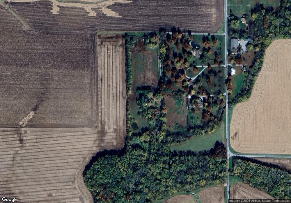
Map
Nearby Homes
- 2 Sunnyside Estate
- 405 S Shelby St
- 0 E Main St
- 320 E Elm St
- 100 S Main St
- 241 W Main St
- 429 N Shelby St
- 319 N Macon St
- 333 N Macon St
- 317 W Madison St
- 803 N Putnam St
- 501 W Walker Rd Unit Macon Illinois 62544
- 647 E 2100 Rd N
- 325 N Poplar St
- 225 E North St
- 107 S Oak St
- 207 Kemmerer St
- 120 S Walnut St
- 107 S Saint John St
- 116 S Saint John St
- 2663 N 800 East Rd
- 2671 N 800 East Rd
- 2677 N 800 East Rd
- 2674 N 800 East Rd
- 2 Sunnyside Estates
- 3 Sunnyside Estate
- 4 Sunnyside Estate
- 13 Sheri Ct
- 5 Sunnyside Estate
- 15 Sheri Ct
- 12 Sheri Ct
- 6 Sunnyside Estate
- 6 Sunny Side Estates
- 16 Sheri Ct
- 11 Sheri Ct
- 17 Sheri Ct
- 17 Sheri Ct
- 18 Sheri Ct
- 10 Sheri Ct
- 19 Sheri Ct