268 Flat Rock Rd Tyler Hill, PA 18469
Estimated Value: $455,623 - $746,000
3
Beds
2
Baths
2,184
Sq Ft
$272/Sq Ft
Est. Value
About This Home
This home is located at 268 Flat Rock Rd, Tyler Hill, PA 18469 and is currently estimated at $593,156, approximately $271 per square foot. 268 Flat Rock Rd is a home located in Wayne County with nearby schools including Honesdale High School.
Ownership History
Date
Name
Owned For
Owner Type
Purchase Details
Closed on
Aug 29, 2017
Sold by
Gustafson Robert Kirt and Gustafson Marie J
Bought by
Hann Raymond J
Current Estimated Value
Home Financials for this Owner
Home Financials are based on the most recent Mortgage that was taken out on this home.
Original Mortgage
$312,000
Outstanding Balance
$261,373
Interest Rate
3.93%
Mortgage Type
New Conventional
Estimated Equity
$331,783
Purchase Details
Closed on
Aug 7, 2017
Sold by
Palmisano Linda M
Bought by
Gustafson Robert Kirt and Gustafson Marie J
Home Financials for this Owner
Home Financials are based on the most recent Mortgage that was taken out on this home.
Original Mortgage
$312,000
Outstanding Balance
$261,373
Interest Rate
3.93%
Mortgage Type
New Conventional
Estimated Equity
$331,783
Purchase Details
Closed on
May 1, 2006
Sold by
Hopson Roland D and Hopson Beverly W
Bought by
Ryan W James
Create a Home Valuation Report for This Property
The Home Valuation Report is an in-depth analysis detailing your home's value as well as a comparison with similar homes in the area
Home Values in the Area
Average Home Value in this Area
Purchase History
| Date | Buyer | Sale Price | Title Company |
|---|---|---|---|
| Hann Raymond J | $390,000 | None Available | |
| Gustafson Robert Kirt | $15,000 | None Available | |
| Ryan W James | $13,500 | None Available |
Source: Public Records
Mortgage History
| Date | Status | Borrower | Loan Amount |
|---|---|---|---|
| Open | Hann Raymond J | $312,000 | |
| Previous Owner | Gustafson Robert Kirt | $50,000 | |
| Previous Owner | Gustafson Robert Kirk | $120,000 | |
| Previous Owner | Gustafson Robert Kirt | $30,000 |
Source: Public Records
Tax History Compared to Growth
Tax History
| Year | Tax Paid | Tax Assessment Tax Assessment Total Assessment is a certain percentage of the fair market value that is determined by local assessors to be the total taxable value of land and additions on the property. | Land | Improvement |
|---|---|---|---|---|
| 2025 | $4,981 | $276,100 | $115,700 | $160,400 |
| 2024 | $4,727 | $276,100 | $115,700 | $160,400 |
| 2023 | $6,553 | $276,100 | $115,700 | $160,400 |
| 2022 | $5,793 | $220,400 | $67,000 | $153,400 |
| 2021 | $5,674 | $220,400 | $67,000 | $153,400 |
| 2020 | $5,674 | $220,400 | $67,000 | $153,400 |
| 2019 | $5,323 | $220,400 | $67,000 | $153,400 |
| 2018 | $5,171 | $220,400 | $67,000 | $153,400 |
| 2017 | $1,380 | $220,400 | $67,000 | $153,400 |
| 2016 | $5,000 | $224,800 | $71,400 | $153,400 |
| 2014 | -- | $224,800 | $71,400 | $153,400 |
Source: Public Records
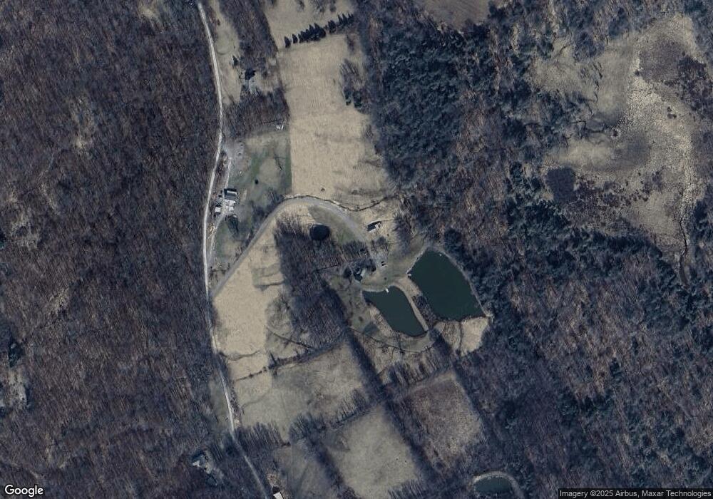
Map
Nearby Homes
- 0 Canfield Rd
- Canfield Rd Lot Unit WP001
- 4 Canfield Rd
- Canfield Rd Lot Unit WP001
- 3 Canfield Rd
- Canfield Rd Lot Unit WP001
- Canfield Rd Lot Unit WP001
- 7 Terrace Ln
- 1046 Cochecton Turnpike
- 26 Moes Manor
- 330 Wescott Rd
- 57B Cemetery Rd
- 0 Swendsen Rd
- 7 Terrace Ln
- 308 Valley Ridge Rd
- 59 Delaware Dr
- 0 Conklin Hill Rd
- 390 Cemetery Rd
- 98 Schuman Rd
- 11 Rory Ln
- 268 Flat Rock Rd
- 268 Flat Rock Rd
- 268 Flat Rock Rd
- 274 Flat Rock Rd
- 0 Flat Rock Rd
- 0 Flat Rock Rd
- 281 Sky Lake Rd
- 247 Flat Rock Rd
- 220 Flat Rock Rd
- 281 Sky Lake Rd
- 319 Flat Rock Rd
- 349 Sky Lake Rd
- 395 Canfield Rd
- 366 Canfield Rd
- 362 Canfield Rd
- 401 Canfield Rd
- 147 Sky Lake Rd
- 444 Canfield Rd
- 0 Sky Lake Rd
- 416 Canfield Rd