Estimated Value: $274,000 - $494,296
--
Bed
--
Bath
3,208
Sq Ft
$123/Sq Ft
Est. Value
About This Home
This home is located at 268 Leetee Ln, Newry, PA 16665 and is currently estimated at $394,574, approximately $122 per square foot. 268 Leetee Ln is a home with nearby schools including Frankstown Elementary School, Hollidaysburg Area Junior High School, and Hollidaysburg Area Senior High School.
Ownership History
Date
Name
Owned For
Owner Type
Purchase Details
Closed on
Feb 25, 2016
Sold by
Frazier George I
Bought by
Stanford Richard Todd and Stanford Karen P
Current Estimated Value
Home Financials for this Owner
Home Financials are based on the most recent Mortgage that was taken out on this home.
Original Mortgage
$266,100
Outstanding Balance
$211,106
Interest Rate
3.72%
Mortgage Type
VA
Estimated Equity
$183,468
Purchase Details
Closed on
May 26, 2005
Sold by
Shaw Richard D and Shaw Claudia F
Bought by
Frazier George I and Frazier Patricia H
Home Financials for this Owner
Home Financials are based on the most recent Mortgage that was taken out on this home.
Original Mortgage
$65,000
Interest Rate
5.94%
Mortgage Type
FHA
Create a Home Valuation Report for This Property
The Home Valuation Report is an in-depth analysis detailing your home's value as well as a comparison with similar homes in the area
Home Values in the Area
Average Home Value in this Area
Purchase History
| Date | Buyer | Sale Price | Title Company |
|---|---|---|---|
| Stanford Richard Todd | $260,500 | Attorney | |
| Frazier George I | $325,000 | None Available |
Source: Public Records
Mortgage History
| Date | Status | Borrower | Loan Amount |
|---|---|---|---|
| Open | Stanford Richard Todd | $266,100 | |
| Previous Owner | Frazier George I | $65,000 |
Source: Public Records
Tax History Compared to Growth
Tax History
| Year | Tax Paid | Tax Assessment Tax Assessment Total Assessment is a certain percentage of the fair market value that is determined by local assessors to be the total taxable value of land and additions on the property. | Land | Improvement |
|---|---|---|---|---|
| 2025 | $5,479 | $354,200 | $87,400 | $266,800 |
| 2024 | $5,352 | $354,200 | $87,400 | $266,800 |
| 2023 | $5,032 | $354,200 | $87,400 | $266,800 |
| 2022 | $4,990 | $354,200 | $87,400 | $266,800 |
| 2021 | $4,871 | $354,200 | $87,400 | $266,800 |
| 2020 | $4,863 | $354,200 | $87,400 | $266,800 |
| 2019 | $4,736 | $354,200 | $87,400 | $266,800 |
| 2018 | $4,736 | $354,200 | $87,400 | $266,800 |
| 2017 | $36,374 | $354,200 | $87,400 | $266,800 |
| 2016 | $1,613 | $42,000 | $1,280 | $40,720 |
| 2015 | $1,613 | $42,000 | $1,280 | $40,720 |
| 2014 | $1,613 | $42,000 | $1,280 | $40,720 |
Source: Public Records
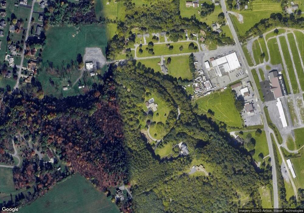
Map
Nearby Homes
- 79 Mill Rd
- 105 Red Tail Cir
- 111 Drake Ln Unit 45
- 10030 Charger Hwy
- 0 Jacks Way Unit 77177
- 1201 Countryview Dr
- 209 Buckridge Ln
- 1012 Gray Ln
- 655 Hillside View Dr
- 808 Peachdale Ln
- 605 13th St
- 1016 5th Ave
- 1029 6th Ave
- 652 Harvest View Ln
- 113 Place Lafayette Ln
- 741 Brentwood Dr
- 1970 Hixton Rd
- 000 Breezy Heights Ln
- 2754 Everett Rd
- 2743 Everett Rd
- 646 Patrick Ln
- 616 Patrick Ln
- 1100 Margery St
- 16305 Dunnings Hwy
- 1849 Poplar Ln Unit Lot 3
- 1849 Poplar Ln
- 111 Bedford St
- 16299 Dunnings Hwy
- 831 Shamrock Ln
- 103 Darby St
- 16296 Dunnings Hwy
- 829 Shamrock Ln
- 913 Shamrock Ln
- 16293 Dunnings Hwy
- 916 Shamrock Ln
- 917 Shamrock Ln
- 821 Shamrock Ln
- 823 Waterford Ln
- 16289 Dunnings Hwy
- 0 Off Rt36 - Old Catfish Rd