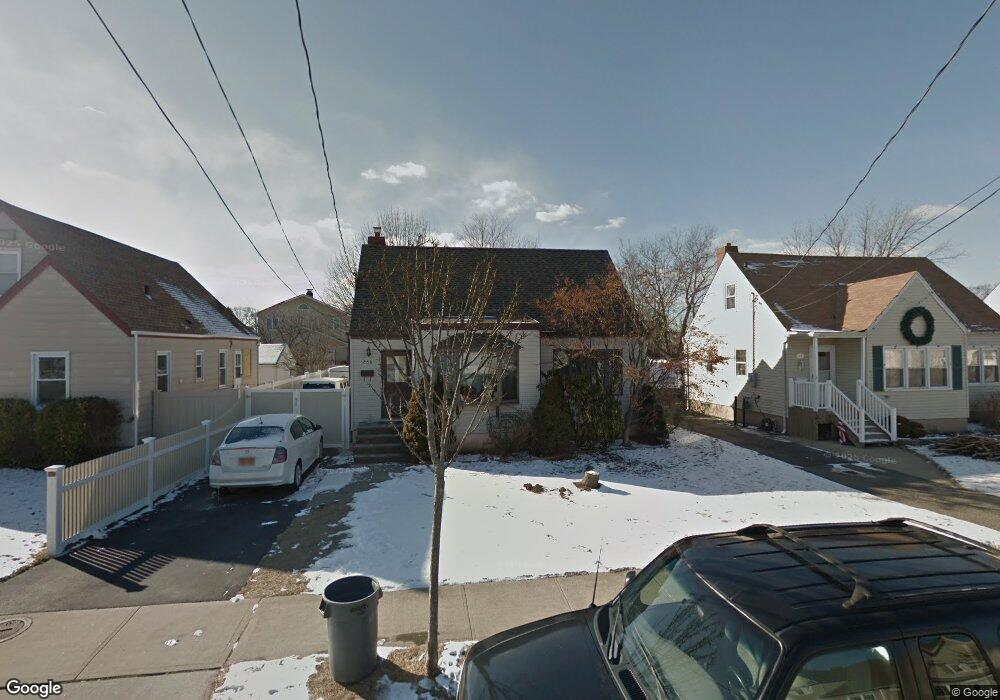
268 Roosevelt Ave Freeport, NY 11520
Estimated Value: $498,261 - $652,000
Studio
1
Bath
1,112
Sq Ft
$517/Sq Ft
Est. Value
About This Home
This home is located at 268 Roosevelt Ave, Freeport, NY 11520 and is currently estimated at $575,131, approximately $517 per square foot. 268 Roosevelt Ave is a home located in Nassau County with nearby schools including Columbus Avenue School, Caroline G. Atkinson Intermediate School, and John W Dodd Middle School.
Ownership History
Date
Name
Owned For
Owner Type
Purchase Details
Closed on
Jan 14, 2000
Sold by
Danielsen Keith and Danielsen Dianne L
Bought by
Solis Dustin R
Current Estimated Value
Home Financials for this Owner
Home Financials are based on the most recent Mortgage that was taken out on this home.
Original Mortgage
$163,406
Outstanding Balance
$51,918
Interest Rate
7.84%
Mortgage Type
Purchase Money Mortgage
Estimated Equity
$523,213
Create a Home Valuation Report for This Property
The Home Valuation Report is an in-depth analysis detailing your home's value as well as a comparison with similar homes in the area
Home Values in the Area
Average Home Value in this Area
Purchase History
| Date | Buyer | Sale Price | Title Company |
|---|---|---|---|
| Solis Dustin R | $175,500 | First American Title Ins Co |
Source: Public Records
Mortgage History
| Date | Status | Borrower | Loan Amount |
|---|---|---|---|
| Open | Solis Dustin R | $163,406 |
Source: Public Records
Tax History
| Year | Tax Paid | Tax Assessment Tax Assessment Total Assessment is a certain percentage of the fair market value that is determined by local assessors to be the total taxable value of land and additions on the property. | Land | Improvement |
|---|---|---|---|---|
| 2025 | $7,547 | $350 | $161 | $189 |
| 2024 | $800 | $350 | $161 | $189 |
Source: Public Records
Map
Nearby Homes
- 119 S Bay Ave
- 265 Roosevelt Ave
- 267 Roosevelt Ave
- 173 Cedar St
- 48 Saint Marks Ave
- 310 Miller Ave
- 403 S Bayview Ave
- 160 Saint Marks Ave
- 322 Miller Ave
- 463 S Bayview Ave
- 158 Roosevelt Ave
- 494 S Ocean Ave Unit 1M
- 494 S Ocean Ave Unit 1H
- 494 S Ocean Ave Unit 3A
- 226 Westside Ave Unit B
- 587 S Bayview Ave
- 153 Westend Ave
- 572 S Bayview Ave
- 208 Sportsmans Ave
- 120 Sportsmans Ave
- 138 Cedar St
- 264 Roosevelt Ave
- 138 Cedar St
- 260 Roosevelt Ave
- 260 Roosevelt Ave
- 137 S Bay Ave
- 137 S Bay Ave
- 123 S Bay Ave
- 150 Cedar St
- 0 Roosevelt Ave Unit 1 ONE2799219
- 0 Roosevelt Ave
- 256 Roosevelt Ave
- 256 Roosevelt Ave
- 263 Roosevelt Ave
- 128 Cedar St
- 247 Roosevelt Ave
- 133 Cedar St
- 137 Cedar St
- 255 Roosevelt Ave
- 139 S Bay Ave
Your Personal Tour Guide
Ask me questions while you tour the home.