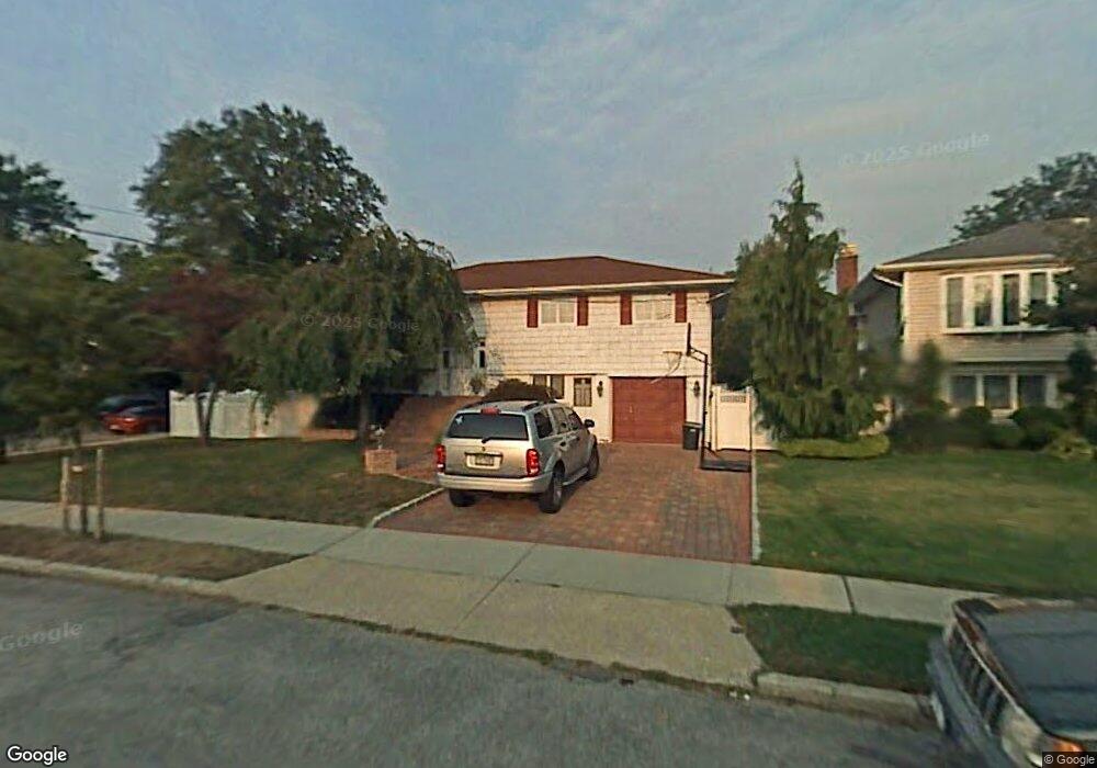
2680 Bryant Dr Seaford, NY 11783
Estimated Value: $779,602 - $812,000
--
Bed
2
Baths
1,270
Sq Ft
$627/Sq Ft
Est. Value
About This Home
This home is located at 2680 Bryant Dr, Seaford, NY 11783 and is currently estimated at $795,801, approximately $626 per square foot. 2680 Bryant Dr is a home located in Nassau County with nearby schools including Seaford Middle School, Seaford Senior High School, and St. William the Abbot School.
Ownership History
Date
Name
Owned For
Owner Type
Purchase Details
Closed on
Jun 23, 1998
Sold by
Scheinman Stuart
Bought by
Zedalis Michael and Zedalis Kimberly
Current Estimated Value
Purchase Details
Closed on
Jun 7, 1996
Sold by
Dagustino Steven and Dagustino Maureen
Bought by
Scheinman Stuart and Ross Susan
Home Financials for this Owner
Home Financials are based on the most recent Mortgage that was taken out on this home.
Original Mortgage
$195,600
Interest Rate
8.21%
Create a Home Valuation Report for This Property
The Home Valuation Report is an in-depth analysis detailing your home's value as well as a comparison with similar homes in the area
Home Values in the Area
Average Home Value in this Area
Purchase History
| Date | Buyer | Sale Price | Title Company |
|---|---|---|---|
| Zedalis Michael | $240,000 | -- | |
| Scheinman Stuart | $244,500 | -- |
Source: Public Records
Mortgage History
| Date | Status | Borrower | Loan Amount |
|---|---|---|---|
| Previous Owner | Scheinman Stuart | $195,600 |
Source: Public Records
Tax History Compared to Growth
Tax History
| Year | Tax Paid | Tax Assessment Tax Assessment Total Assessment is a certain percentage of the fair market value that is determined by local assessors to be the total taxable value of land and additions on the property. | Land | Improvement |
|---|---|---|---|---|
| 2025 | $13,346 | $482 | $224 | $258 |
| 2024 | $3,829 | $517 | $240 | $277 |
| 2023 | $12,039 | $517 | $240 | $277 |
| 2022 | $12,039 | $517 | $240 | $277 |
| 2021 | $15,181 | $501 | $232 | $269 |
| 2020 | $9,681 | $589 | $588 | $1 |
| 2019 | $9,396 | $631 | $630 | $1 |
| 2018 | $9,533 | $673 | $0 | $0 |
| 2017 | $6,578 | $715 | $689 | $26 |
| 2016 | $9,829 | $757 | $632 | $125 |
| 2015 | $3,373 | $799 | $535 | $264 |
| 2014 | $3,373 | $799 | $535 | $264 |
| 2013 | $3,456 | $873 | $584 | $289 |
Source: Public Records
Map
Nearby Homes
- 2573 Harvard Ln
- 3719 Terrapin Place
- 2656 Seminole Ave
- 0 Island Place Unit 3107575
- 2701 S Seamans Neck Rd
- 2601 Ocean Ave
- 2655 Ocean Ave
- 3717 Somerset Dr
- 3570 Plover Place
- 4072 Darby Ln
- 3695 Somerset Dr
- 7 Crescent Cove Dr
- 2437 Archer St
- 3664 Somerset Dr
- 3609 Somerset Dr
- 3558 Roanoke St
- 3563 Wadena St
- 2370 Narraganset Ave
- 3612 Ladonia St
- 3875 South St