2680 Highway 97 Goldendale, WA 98620
Estimated Value: $317,000 - $348,000
2
Beds
1
Bath
1,440
Sq Ft
$228/Sq Ft
Est. Value
About This Home
This home is located at 2680 Highway 97, Goldendale, WA 98620 and is currently estimated at $328,473, approximately $228 per square foot. 2680 Highway 97 is a home located in Klickitat County with nearby schools including Goldendale Primary School, Goldendale Middle School, and Goldendale High School.
Ownership History
Date
Name
Owned For
Owner Type
Purchase Details
Closed on
Dec 29, 2017
Sold by
Guerra Feliz and Guerra Patricia
Bought by
Mefarland Thomas Stuart
Current Estimated Value
Purchase Details
Closed on
Apr 4, 2012
Sold by
Adelmund Michael T
Bought by
Guerra Felix and Guerra Patricia
Purchase Details
Closed on
Jan 28, 2002
Sold by
Adelmund Kerrel and Adelmund Michael T
Bought by
Adelmund Michael T and Adelmund Mike T
Create a Home Valuation Report for This Property
The Home Valuation Report is an in-depth analysis detailing your home's value as well as a comparison with similar homes in the area
Home Values in the Area
Average Home Value in this Area
Purchase History
| Date | Buyer | Sale Price | Title Company |
|---|---|---|---|
| Mefarland Thomas Stuart | $139,281 | Klickitat County Title Co | |
| Guerra Felix | -- | -- | |
| Adelmund Michael T | -- | -- |
Source: Public Records
Tax History Compared to Growth
Tax History
| Year | Tax Paid | Tax Assessment Tax Assessment Total Assessment is a certain percentage of the fair market value that is determined by local assessors to be the total taxable value of land and additions on the property. | Land | Improvement |
|---|---|---|---|---|
| 2025 | $842 | $162,700 | $90,000 | $72,700 |
| 2023 | $842 | $151,100 | $85,000 | $66,100 |
| 2022 | $480 | $105,700 | $70,000 | $35,700 |
| 2021 | $976 | $96,650 | $60,950 | $35,700 |
| 2020 | $1,017 | $93,450 | $60,950 | $32,500 |
| 2018 | $1,033 | $123,150 | $60,950 | $62,200 |
| 2017 | $941 | $92,950 | $34,850 | $58,100 |
| 2016 | $944 | $92,950 | $34,850 | $58,100 |
| 2015 | $737 | $94,750 | $34,850 | $59,900 |
| 2013 | $737 | $111,100 | $49,500 | $61,600 |
Source: Public Records
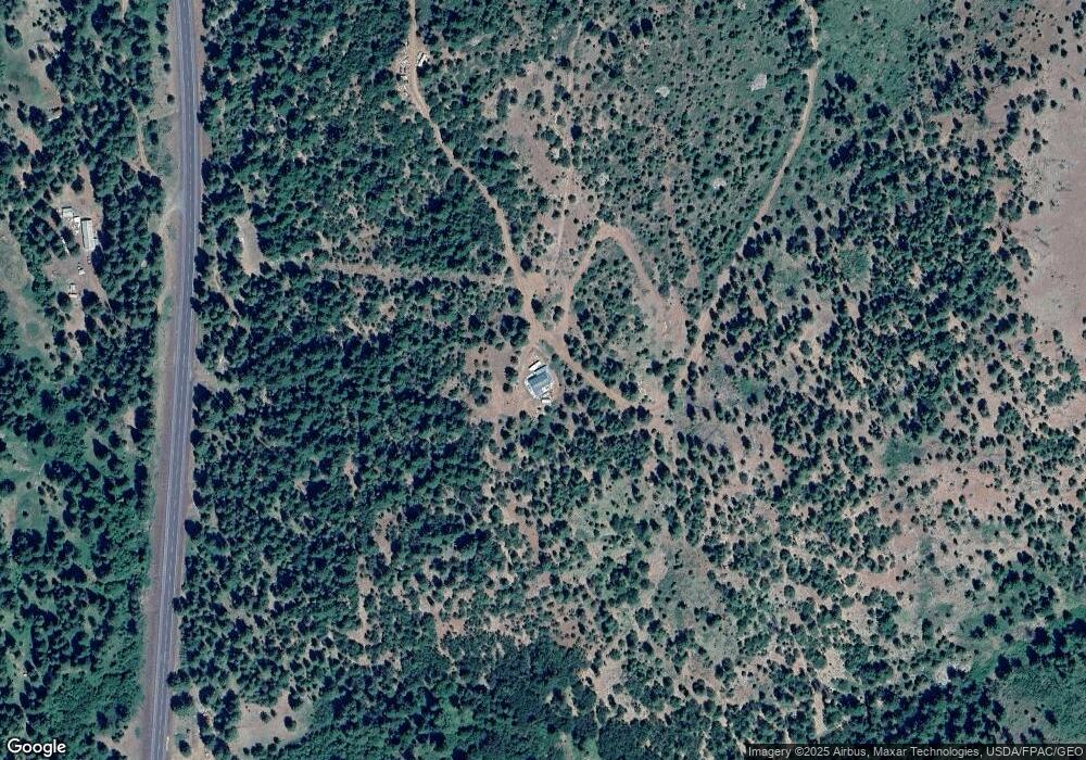
Map
Nearby Homes
- 0 Satus Springs Dr Unit 414878918
- 0 Hidden Meadows
- 0 Section 5 Unit 797131098
- 0 Section 5 Unit NWM2408212
- 0 Box Canyon Rd Unit 551282407
- 0 Box Canyon Rd Unit NWM2402336
- 531 Cushman Rd
- 352 Box Canyon Rd
- 0 Hawks Wind Rd Unit 1 162521196
- 0 Hawks Wind Rd Unit 447718216
- 000 Lee Rd
- 0 Lee Rd
- 15 Sutherlain Tr
- 3 Thompson Trail
- 4 Thompson Trail
- 104 Jenkins Creek Rd
- 0 England Dr Unit 455774655
- 31 Thompson Trail
- 11 Deer Ridge Rd
- 304 Toad Rd
- 2692 Highway 97
- 2692 Highway 97
- 2680 Hwy 97
- 0 Hwy 97 Hwy Unit 2 24224306
- 0 Hwy 97 Hwy Unit 24635835
- 0 Hwy 97 Hwy Unit 23191263
- 0 Hwy 97 Hwy Unit NWM2125872
- 0 Hwy 97 Hwy Unit Lot 2 23424850
- 0 Hwy 97 Hwy Unit 2 22602048
- 0 Hwy 97 Hwy Unit 1 22434869
- 0 Hwy 97 Hwy Unit 21175048
- 0 Hwy 97 Hwy Unit 21406694
- 0 Hwy 97 Hwy Unit 3E 21266580
- 0 Hwy 97 Hwy Unit 2W 21467610
- 0 Hwy 97 Hwy Unit 21423498
- 0 Hwy 97 Hwy Unit 20181728
- 0 Hwy 97 Hwy Unit 60 12274784
- 0 Hwy 97 Hwy Unit 61 12196236
- 0 Hwy 97 Hwy Unit 62 12194697
- 0 Hwy 97 Hwy Unit 63 12074892