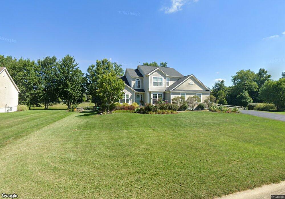
2680 Unbridled Ct Powell, OH 43065
Liberty Township NeighborhoodEstimated Value: $682,000 - $809,000
3
Beds
3
Baths
2,587
Sq Ft
$284/Sq Ft
Est. Value
About This Home
This home is located at 2680 Unbridled Ct, Powell, OH 43065 and is currently estimated at $735,201, approximately $284 per square foot. 2680 Unbridled Ct is a home with nearby schools including Tyler Run Elementary School, Olentangy Liberty Middle School, and Olentangy Liberty High School.
Ownership History
Date
Name
Owned For
Owner Type
Purchase Details
Closed on
Dec 6, 2012
Sold by
Rockford Homes Inc
Bought by
Cola James A and Cola Elizabeth A
Current Estimated Value
Home Financials for this Owner
Home Financials are based on the most recent Mortgage that was taken out on this home.
Original Mortgage
$256,700
Outstanding Balance
$177,767
Interest Rate
3.36%
Mortgage Type
New Conventional
Estimated Equity
$557,434
Create a Home Valuation Report for This Property
The Home Valuation Report is an in-depth analysis detailing your home's value as well as a comparison with similar homes in the area
Home Values in the Area
Average Home Value in this Area
Purchase History
| Date | Buyer | Sale Price | Title Company |
|---|---|---|---|
| Cola James A | $240,750 | None Available |
Source: Public Records
Mortgage History
| Date | Status | Borrower | Loan Amount |
|---|---|---|---|
| Open | Cola James A | $256,700 |
Source: Public Records
Tax History Compared to Growth
Tax History
| Year | Tax Paid | Tax Assessment Tax Assessment Total Assessment is a certain percentage of the fair market value that is determined by local assessors to be the total taxable value of land and additions on the property. | Land | Improvement |
|---|---|---|---|---|
| 2024 | $11,398 | $213,890 | $51,590 | $162,300 |
| 2023 | $11,442 | $213,890 | $51,590 | $162,300 |
| 2022 | $8,248 | $121,450 | $34,650 | $86,800 |
| 2021 | $8,298 | $121,450 | $34,650 | $86,800 |
| 2020 | $8,337 | $121,450 | $34,650 | $86,800 |
| 2019 | $7,842 | $118,930 | $34,650 | $84,280 |
| 2018 | $7,878 | $118,930 | $34,650 | $84,280 |
| 2017 | $7,353 | $108,720 | $28,880 | $79,840 |
| 2016 | $7,671 | $108,720 | $28,880 | $79,840 |
| 2015 | $6,908 | $108,720 | $28,880 | $79,840 |
| 2014 | $7,001 | $108,720 | $28,880 | $79,840 |
| 2013 | $7,011 | $106,410 | $28,880 | $77,530 |
Source: Public Records
Map
Nearby Homes
- 2961 Lexington Dr
- 1992 Edmunds Ct
- 8796 Yates Point Ct
- 8803 Yates Point Ct
- 55 Timber Oak Ct
- 8741 Jamey Ct
- 10586 Churchill Dr
- 8292 Breckenridge Way
- 2013 Summit Row Blvd
- 8594 Broadacre Dr
- 2168 Summit Row Blvd
- 1967 Woodlands Place
- 2300 Benning Dr
- 274 Stamford Dr
- 1949 Hamrock Dr
- 630 Woods Hollow Ln
- 660 Woods Hollow Ln
- 575 Woods Hollow Ln
- 2105 Liberty St
- 2020 Liberty St
- 2700 Unbridled Ct
- 2664 Unbridled Ct
- 2728 Unbridled Ct
- 2691 Unbridled Ct
- 2659 Unbridled Ct
- 2656 Unbridled Ct
- 2729 Unbridled Ct
- 2858 Derby Dr
- 2969 Derby Dr
- 2609 Jewett Rd
- 2620 Clubhouse Cir
- 2943 Derby Dr
- 2828 Derby Dr
- 2771 Unbridled Ct
- 2610 Clubhouse Cir
- 2740 Jewett Rd
- 2804 Derby Dr
- 2590 Clubhouse Cir
- 2636 Clubhouse Cir
- 2881 Derby Dr