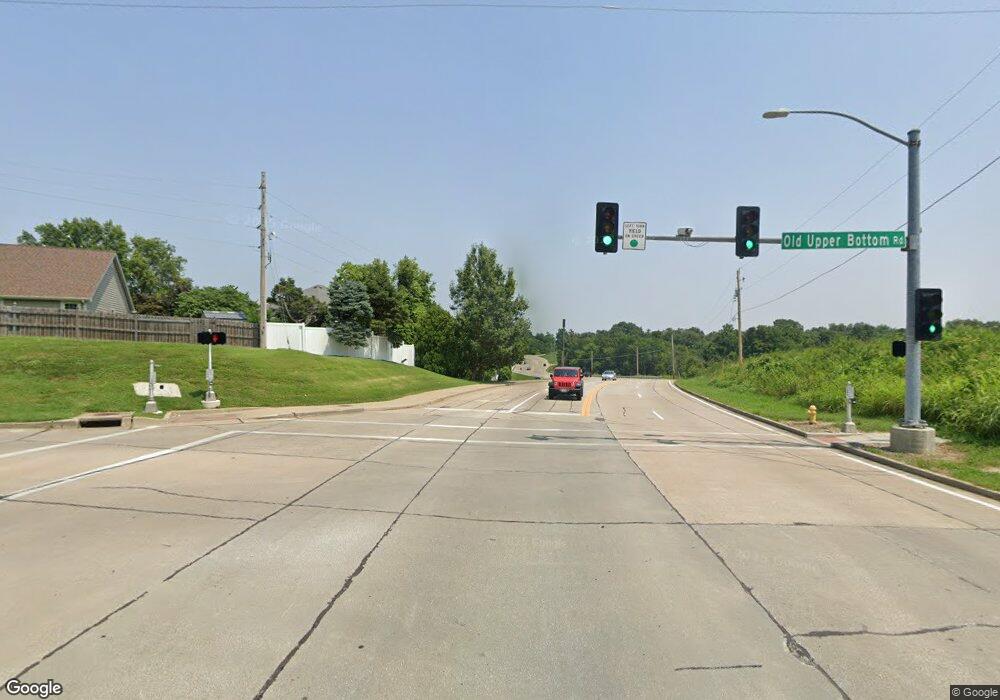
2680 Upper Bottom Loop Rd Saint Charles, MO 63303
Heritage NeighborhoodEstimated Value: $459,000 - $517,000
3
Beds
2
Baths
2,133
Sq Ft
$224/Sq Ft
Est. Value
About This Home
This home is located at 2680 Upper Bottom Loop Rd, Saint Charles, MO 63303 and is currently estimated at $477,770, approximately $223 per square foot. 2680 Upper Bottom Loop Rd is a home located in St. Charles County with nearby schools including Becky-David Elementary School, Barnwell Middle School, and Francis Howell North High School.
Ownership History
Date
Name
Owned For
Owner Type
Purchase Details
Closed on
Oct 7, 2003
Sold by
Papin Robert W and Papin Mary J
Bought by
Phung Tran Tam Chi and Phung Hua Linda
Current Estimated Value
Home Financials for this Owner
Home Financials are based on the most recent Mortgage that was taken out on this home.
Original Mortgage
$175,000
Interest Rate
6.42%
Mortgage Type
Purchase Money Mortgage
Purchase Details
Closed on
Apr 23, 2002
Sold by
Papin Robert W and Papin Mary J
Bought by
Papin Robert W and Papin Mary J
Create a Home Valuation Report for This Property
The Home Valuation Report is an in-depth analysis detailing your home's value as well as a comparison with similar homes in the area
Home Values in the Area
Average Home Value in this Area
Purchase History
| Date | Buyer | Sale Price | Title Company |
|---|---|---|---|
| Phung Tran Tam Chi | $265,000 | Davis Title & Abstract Co | |
| Papin Robert W | -- | -- |
Source: Public Records
Mortgage History
| Date | Status | Borrower | Loan Amount |
|---|---|---|---|
| Closed | Phung Tran Tam Chi | $175,000 |
Source: Public Records
Tax History
| Year | Tax Paid | Tax Assessment Tax Assessment Total Assessment is a certain percentage of the fair market value that is determined by local assessors to be the total taxable value of land and additions on the property. | Land | Improvement |
|---|---|---|---|---|
| 2025 | $4,679 | $77,978 | -- | -- |
| 2023 | $4,673 | $75,734 | $0 | $0 |
| 2022 | $4,401 | $66,065 | $0 | $0 |
| 2021 | $4,392 | $66,065 | $0 | $0 |
| 2020 | $4,047 | $59,306 | $0 | $0 |
| 2019 | $3,943 | $57,998 | $0 | $0 |
| 2018 | $3,948 | $55,447 | $0 | $0 |
| 2017 | $3,928 | $55,447 | $0 | $0 |
| 2016 | $3,422 | $48,408 | $0 | $0 |
| 2015 | $3,387 | $48,408 | $0 | $0 |
| 2014 | $3,781 | $52,384 | $0 | $0 |
Source: Public Records
Map
Nearby Homes
- 3010 Paddlewheel Ct
- 411 Savannah Ridge Dr
- 2828 Mulberry Ln
- 2824 Mulberry Ln
- 2820 Mulberry Ln
- 0 Mulberry Ln (2816 2820 2824 2828)
- 2816 Mulberry Ln
- Mulberry Ln
- 1510 Hudson Landing
- 565 Crown Passage Dr
- 1611 Burnside Ln
- 0 Hemsath Rd Unit 22058650
- 0 Hemsath Rd Unit 22063361
- 2721 Heritage Landing
- 1355 Hampton Rd Unit B
- 365 Clarence Dr
- 726 Gran Lin Dr
- 2605 Plantation Point Unit B
- 2609 Plantation Point Unit D
- 391 Woodmere Dr
- 2690 Upper Bottom Loop Rd
- 2670 Upper Bottom Loop Rd
- 2660 Upper Bottom Loop Rd
- 2244 Delaware Dr
- 2248 Delaware Dr
- 2240 Delaware Dr
- 2650 Upper Bottom Loop Rd
- 2750 Upper Bottom Loop Rd
- 2256 Delaware Dr
- 31 Canyon Ct
- 2640 Upper Bottom Loop Rd
- 2365 Canyon Dr
- 2373 Canyon Dr
- 2245 Delaware Dr
- 32 Canyon Ct
- 95 Delaware Ct
- 2260 Delaware Dr
- 2361 Canyon Dr
- 2369 Canyon Dr
- 2249 Delaware Dr
