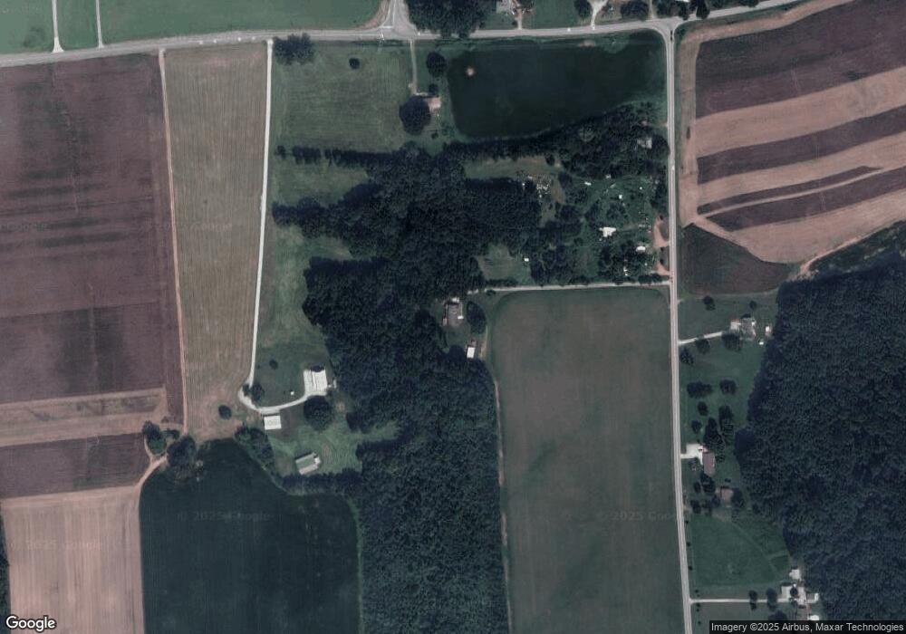
2680 White Rd Salisbury, NC 28147
Estimated Value: $325,471 - $419,000
--
Bed
2
Baths
1,705
Sq Ft
$212/Sq Ft
Est. Value
About This Home
This home is located at 2680 White Rd, Salisbury, NC 28147 and is currently estimated at $360,618, approximately $211 per square foot. 2680 White Rd is a home located in Rowan County with nearby schools including Mount Ulla Elementary School, West Rowan Middle School, and West Rowan High School.
Ownership History
Date
Name
Owned For
Owner Type
Purchase Details
Closed on
May 22, 2023
Sold by
Kepley Donna O and Blankinship Donna O
Bought by
Blankinship Donna O and Blankinship Bruce
Current Estimated Value
Home Financials for this Owner
Home Financials are based on the most recent Mortgage that was taken out on this home.
Original Mortgage
$180,000
Outstanding Balance
$173,591
Interest Rate
5%
Mortgage Type
New Conventional
Estimated Equity
$187,027
Create a Home Valuation Report for This Property
The Home Valuation Report is an in-depth analysis detailing your home's value as well as a comparison with similar homes in the area
Home Values in the Area
Average Home Value in this Area
Purchase History
| Date | Buyer | Sale Price | Title Company |
|---|---|---|---|
| Blankinship Donna O | -- | Servicelink |
Source: Public Records
Mortgage History
| Date | Status | Borrower | Loan Amount |
|---|---|---|---|
| Open | Blankinship Donna O | $180,000 |
Source: Public Records
Tax History Compared to Growth
Tax History
| Year | Tax Paid | Tax Assessment Tax Assessment Total Assessment is a certain percentage of the fair market value that is determined by local assessors to be the total taxable value of land and additions on the property. | Land | Improvement |
|---|---|---|---|---|
| 2025 | $1,909 | $284,895 | $36,362 | $248,533 |
| 2024 | $1,909 | $284,895 | $36,362 | $248,533 |
| 2023 | $1,909 | $284,895 | $36,362 | $248,533 |
| 2022 | $1,294 | $173,119 | $29,094 | $144,025 |
| 2021 | $1,259 | $173,119 | $29,094 | $144,025 |
| 2020 | $1,259 | $173,119 | $29,094 | $144,025 |
| 2019 | $1,259 | $173,119 | $29,094 | $144,025 |
| 2018 | $1,089 | $150,911 | $29,094 | $121,817 |
| 2017 | $1,089 | $150,911 | $29,094 | $121,817 |
| 2016 | $1,097 | $150,911 | $29,094 | $121,817 |
| 2015 | $1,114 | $150,911 | $29,094 | $121,817 |
| 2014 | $1,112 | $156,113 | $29,094 | $127,019 |
Source: Public Records
Map
Nearby Homes
- 8340 N Carolina 801
- 170 Saint James Way
- 00 Barber Junction Rd
- 0 Lowder Rd
- 6122 Lowder Rd
- 3D Sloan Rd
- 3C Sloan Rd
- 3B Sloan Rd
- 114 Graham Acres Rd
- 2300 Hildebrand Rd
- 6133 Long Branch Rd
- 6147 Long Branch Rd
- 6169 Long Branch Rd
- 6155 Long Branch Rd
- 6187 Long Branch Rd
- 000 Long Branch Rd
- 1405 Coppergate Dr
- 1110 Coppergate Dr
- 7245 Mooresville Rd
- 210 Goldenrod Cir
- 2600 White Rd
- 2570 White Rd
- 2745 White Rd
- 2975 White Rd
- 2925 White Rd
- 2855 White Rd
- 3120 White Rd
- 9085 Sherrills Ford Rd
- 9585 Sherrills Ford Rd
- 9075 Sherrills Ford Rd
- 8690 Nc Highway 801
- 00000 Nc 801 Hwy Hwy
- 0 Hwy 801 Hwy Unit 2058207
- 2025 White Rd
- 8975 Sherrills Ford Rd
- 8965 Sherrills Ford Rd
- 196 Royal Indian Dr
- 000 Rolling Acres Dr Unit 4
- 8955 Sherrills Ford Rd
- 191 Baines Dr
