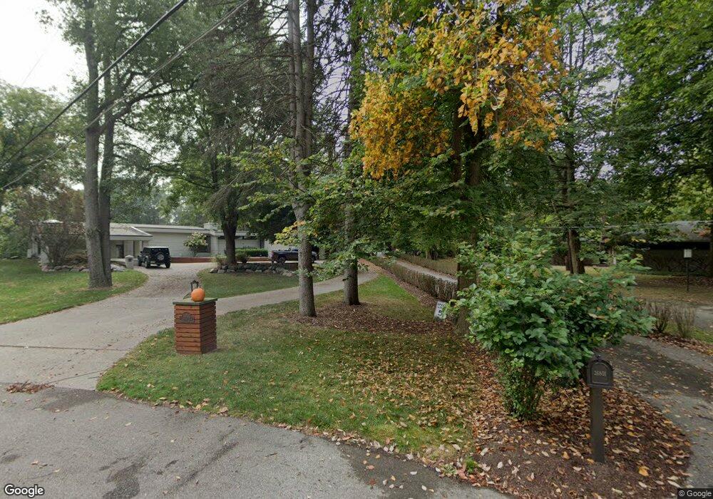
26801 Captains Ln Franklin, MI 48025
Estimated Value: $1,297,000 - $2,105,000
4
Beds
7
Baths
4,656
Sq Ft
$354/Sq Ft
Est. Value
About This Home
This home is located at 26801 Captains Ln, Franklin, MI 48025 and is currently estimated at $1,649,628, approximately $354 per square foot. 26801 Captains Ln is a home located in Oakland County with nearby schools including Wylie E. Groves High School, West Maple Elementary School, and Berkshire Middle School.
Ownership History
Date
Name
Owned For
Owner Type
Purchase Details
Closed on
Jan 28, 2002
Sold by
Coe Lawrence I
Bought by
Dembs Ryan D
Current Estimated Value
Purchase Details
Closed on
Apr 21, 2000
Sold by
Lavell Hilda
Bought by
Coe Laurence I
Create a Home Valuation Report for This Property
The Home Valuation Report is an in-depth analysis detailing your home's value as well as a comparison with similar homes in the area
Home Values in the Area
Average Home Value in this Area
Purchase History
| Date | Buyer | Sale Price | Title Company |
|---|---|---|---|
| Dembs Ryan D | -- | -- | |
| Coe Laurence I | $345,000 | -- |
Source: Public Records
Mortgage History
| Date | Status | Borrower | Loan Amount |
|---|---|---|---|
| Closed | Dembs Ryan D | -- |
Source: Public Records
Tax History
| Year | Tax Paid | Tax Assessment Tax Assessment Total Assessment is a certain percentage of the fair market value that is determined by local assessors to be the total taxable value of land and additions on the property. | Land | Improvement |
|---|---|---|---|---|
| 2025 | $14,402 | $941,050 | $0 | $0 |
| 2024 | $16,721 | $909,500 | $0 | $0 |
| 2023 | $15,854 | $859,030 | $0 | $0 |
| 2022 | $17,157 | $803,120 | $0 | $0 |
| 2021 | $17,085 | $861,560 | $0 | $0 |
| 2020 | $14,579 | $857,390 | $0 | $0 |
| 2019 | $13,282 | $839,970 | $0 | $0 |
| 2018 | $17,216 | $862,240 | $0 | $0 |
| 2017 | $17,448 | $862,240 | $0 | $0 |
| 2016 | $16,108 | $815,940 | $0 | $0 |
| 2015 | -- | $780,350 | $0 | $0 |
| 2014 | -- | $631,980 | $0 | $0 |
| 2011 | -- | $411,160 | $0 | $0 |
Source: Public Records
Map
Nearby Homes
- 32322 Scenic Ln
- 27220 Willowgreen Ct
- 7357 Lindenmere Dr
- 7371 Lindenmere Dr
- 7515 Hiddenbrook Ln
- 26311 W 14 Mile Rd
- 26565 Scenic Hwy
- 32696 Ravine Dr
- 0 Inkster Rd Unit 20261006581
- 7310 Sandy Creek Ln
- 4731 Pickering Rd
- 2189 Colony Club Ct
- 2014 Waldons Ct
- 26377 Willowgreen Dr
- 32500 Rock Ridge Ln
- 31145 Woodside Dr
- 25635 River Dr
- 28351 W 14 Mile Rd
- 7250 Cedarcroft Ln
- 25933 Hersheyvale Dr
- 26795 Captains Ln
- 26815 Captains Ln
- 26800 Irving Rd
- 26875 Irving Rd
- 26765 Captains Ln
- 26851 Captains Ln
- 32660 Colony Hill Dr
- 32690 Colony Hill Dr
- 26825 Irving Rd
- 26721 Carol Dr
- 26725 Captains Ln
- 26740 Irving Rd
- 32720 Colony Hill Dr
- 26701 Carol Dr
- 26701 Carol Ave
- 26800 Captains Ln
- 32616 Colony Hill Dr Unit Bldg-Unit
- 32616 Colony Hill Dr
- 32560 Colony Hill Dr
- 32600 Colony Hill Dr
Your Personal Tour Guide
Ask me questions while you tour the home.