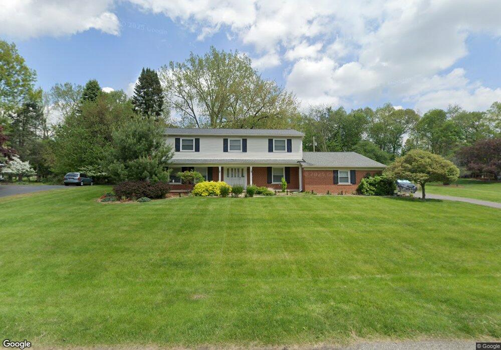
2681 Mcclintock Rd Unit Bldg-Unit Bloomfield Hills, MI 48302
Estimated Value: $593,000 - $730,000
4
Beds
3
Baths
2,901
Sq Ft
$224/Sq Ft
Est. Value
About This Home
This home is located at 2681 Mcclintock Rd Unit Bldg-Unit, Bloomfield Hills, MI 48302 and is currently estimated at $648,512, approximately $223 per square foot. 2681 Mcclintock Rd Unit Bldg-Unit is a home located in Oakland County with nearby schools including Walt Whitman Elementary School, Pontiac Middle School, and Pontiac High School.
Ownership History
Date
Name
Owned For
Owner Type
Purchase Details
Closed on
Apr 8, 2024
Sold by
Olson James H and Olson Paula T
Bought by
Hassan Ahmed and Falba Alaa
Current Estimated Value
Home Financials for this Owner
Home Financials are based on the most recent Mortgage that was taken out on this home.
Original Mortgage
$340,000
Outstanding Balance
$319,665
Interest Rate
6.22%
Mortgage Type
New Conventional
Estimated Equity
$328,847
Purchase Details
Closed on
Feb 28, 2018
Sold by
Grohar William P and Grohar Joan M
Bought by
Olson James H and Olson Paula T
Home Financials for this Owner
Home Financials are based on the most recent Mortgage that was taken out on this home.
Original Mortgage
$190,000
Interest Rate
4.22%
Mortgage Type
New Conventional
Create a Home Valuation Report for This Property
The Home Valuation Report is an in-depth analysis detailing your home's value as well as a comparison with similar homes in the area
Home Values in the Area
Average Home Value in this Area
Purchase History
| Date | Buyer | Sale Price | Title Company |
|---|---|---|---|
| Hassan Ahmed | $540,000 | Clientfirst Title | |
| Hassan Ahmed | $540,000 | Clientfirst Title | |
| Olson James H | $390,000 | None Available |
Source: Public Records
Mortgage History
| Date | Status | Borrower | Loan Amount |
|---|---|---|---|
| Open | Hassan Ahmed | $340,000 | |
| Closed | Hassan Ahmed | $340,000 | |
| Previous Owner | Olson James H | $190,000 |
Source: Public Records
Tax History Compared to Growth
Tax History
| Year | Tax Paid | Tax Assessment Tax Assessment Total Assessment is a certain percentage of the fair market value that is determined by local assessors to be the total taxable value of land and additions on the property. | Land | Improvement |
|---|---|---|---|---|
| 2024 | $3,512 | $201,970 | $0 | $0 |
| 2023 | $3,379 | $193,960 | $0 | $0 |
| 2022 | $6,104 | $199,990 | $0 | $0 |
| 2021 | $5,964 | $193,180 | $0 | $0 |
| 2020 | $3,292 | $186,650 | $0 | $0 |
| 2019 | $5,860 | $183,650 | $0 | $0 |
| 2018 | $3,669 | $178,220 | $0 | $0 |
| 2017 | $3,615 | $167,780 | $0 | $0 |
| 2016 | $3,614 | $159,900 | $0 | $0 |
| 2015 | -- | $133,370 | $0 | $0 |
| 2014 | -- | $124,440 | $0 | $0 |
| 2011 | -- | $109,810 | $0 | $0 |
Source: Public Records
Map
Nearby Homes
- 1831 Long Pointe Dr
- 2779 Turtle Lake Dr
- 2759 Turtle Ridge Dr
- 2121 Uplong St
- 2785 Turtle Lake Dr
- 2756 Turtle Bluff Dr
- 2707 Turtle Lake Dr
- 1772 Heron Ridge Dr
- 2717 Turtle Shores Ranch Dr
- 2717 Turtle Shores Dr
- 1744 Heron Ridge Dr
- 1947 Maplewood Ave
- 1968 Maplewood Ave
- 2665 Middlebelt Rd
- 1735 Heron Ridge Dr
- 2670 Turtle Lake Dr
- 2657 Turtle Shores Dr
- 2954 Long Ridge Ct
- 2630 Turtle Lake Dr
- 1729 Heron Ridge Dr
- 2681 Mcclintock Rd
- 2669 Mcclintock Rd
- 2680 Mcclintock Rd
- 1830 Long Pointe Dr
- 2664 Mcclintock Rd
- 1847 Packer Rd
- 1863 Packer Rd
- 1840 Long Pointe Dr
- 1879 Packer Rd
- 1893 Packer Rd
- 1820 Long Pointe Dr
- 2648 Mcclintock Rd
- 1837 Long Pointe Dr
- 1910 Long Pointe Dr
- 1916 Long Pointe Dr
- 1825 Long Pointe Dr Unit Bldg-Unit
- 1825 Long Pointe Dr
- 1848 Packer Rd
- 1860 Packer Rd
- 1843 Long Pointe Dr