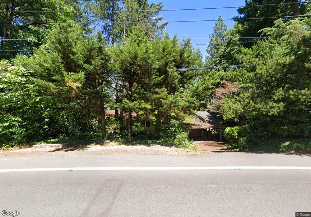
2681 Southshore Blvd Lake Oswego, OR 97034
Palisades NeighborhoodEstimated Value: $1,468,038 - $1,820,000
3
Beds
3
Baths
2,614
Sq Ft
$630/Sq Ft
Est. Value
About This Home
This home is located at 2681 Southshore Blvd, Lake Oswego, OR 97034 and is currently estimated at $1,647,010, approximately $630 per square foot. 2681 Southshore Blvd is a home located in Clackamas County with nearby schools including Westridge Elementary School, Lakeridge Middle School, and Lakeridge High School.
Ownership History
Date
Name
Owned For
Owner Type
Purchase Details
Closed on
Dec 2, 2022
Sold by
Patton Lowell
Bought by
Stirek John A
Current Estimated Value
Purchase Details
Closed on
May 19, 2015
Sold by
Kraus Robert Keith and Kraus Christi Robinson
Bought by
Patton Lowell
Purchase Details
Closed on
Nov 30, 2004
Sold by
Francis Deborah L
Bought by
Patton Lowell
Home Financials for this Owner
Home Financials are based on the most recent Mortgage that was taken out on this home.
Original Mortgage
$593,000
Interest Rate
5.65%
Mortgage Type
Unknown
Purchase Details
Closed on
Jan 28, 2004
Sold by
Karlin Manuel and Karlin Martha J
Bought by
Patton Lowell and Francis Deborah L
Home Financials for this Owner
Home Financials are based on the most recent Mortgage that was taken out on this home.
Original Mortgage
$595,000
Interest Rate
5.79%
Mortgage Type
Purchase Money Mortgage
Purchase Details
Closed on
Feb 22, 2001
Sold by
Kraus Robert K and Kraus Christi R
Bought by
Karlin Manuel and Karlin Martha J
Home Financials for this Owner
Home Financials are based on the most recent Mortgage that was taken out on this home.
Original Mortgage
$400,000
Interest Rate
7.12%
Purchase Details
Closed on
Aug 3, 2000
Sold by
Kraus Robert Keith and Kraus Christi Robinson
Bought by
Kraus Robert Keith and Kraus Christi Robinson
Purchase Details
Closed on
Feb 25, 1997
Sold by
Francis Deborah L
Bought by
Kraus Robert K and Kraus Christi R
Home Financials for this Owner
Home Financials are based on the most recent Mortgage that was taken out on this home.
Original Mortgage
$52,500
Interest Rate
7.86%
Mortgage Type
Seller Take Back
Purchase Details
Closed on
Aug 28, 1995
Sold by
Bernert Beverly A
Bought by
Kraus Robert K and Kraus Christi R
Home Financials for this Owner
Home Financials are based on the most recent Mortgage that was taken out on this home.
Original Mortgage
$306,400
Interest Rate
7.5%
Create a Home Valuation Report for This Property
The Home Valuation Report is an in-depth analysis detailing your home's value as well as a comparison with similar homes in the area
Home Values in the Area
Average Home Value in this Area
Purchase History
| Date | Buyer | Sale Price | Title Company |
|---|---|---|---|
| Stirek John A | $1,250,000 | -- | |
| Patton Lowell | -- | Fidelity National Title Co | |
| Patton Lowell | -- | Lawyers Title Ins | |
| Patton Lowell | $700,000 | Ticor Title Insurance Compan | |
| Karlin Manuel | $629,000 | Fidelity National Title Co | |
| Kraus Robert Keith | -- | -- | |
| Kraus Robert K | $75,000 | Stewart Title | |
| Kraus Robert K | $383,000 | Fidelity National Title Co |
Source: Public Records
Mortgage History
| Date | Status | Borrower | Loan Amount |
|---|---|---|---|
| Previous Owner | Patton Lowell | $593,000 | |
| Previous Owner | Patton Lowell | $595,000 | |
| Previous Owner | Karlin Manuel | $400,000 | |
| Previous Owner | Kraus Robert K | $52,500 | |
| Previous Owner | Kraus Robert K | $306,400 |
Source: Public Records
Tax History Compared to Growth
Tax History
| Year | Tax Paid | Tax Assessment Tax Assessment Total Assessment is a certain percentage of the fair market value that is determined by local assessors to be the total taxable value of land and additions on the property. | Land | Improvement |
|---|---|---|---|---|
| 2025 | $12,583 | $655,214 | -- | -- |
| 2024 | $12,247 | $636,131 | -- | -- |
| 2023 | $12,247 | $617,603 | $0 | $0 |
| 2022 | $11,535 | $599,615 | $0 | $0 |
| 2021 | $10,654 | $582,151 | $0 | $0 |
| 2020 | $10,386 | $565,196 | $0 | $0 |
| 2019 | $10,131 | $548,734 | $0 | $0 |
| 2018 | $9,634 | $532,751 | $0 | $0 |
| 2017 | $9,296 | $517,234 | $0 | $0 |
| 2016 | $8,463 | $502,169 | $0 | $0 |
| 2015 | $8,176 | $487,543 | $0 | $0 |
| 2014 | -- | $473,343 | $0 | $0 |
Source: Public Records
Map
Nearby Homes
- 16878 Canyon Dr
- 2627 Park Rd
- 2255 Glen Haven Rd
- 0 S Shore Blvd
- 17035 Westview Dr
- 3220 Southshore Blvd
- 15948 Twin Fir Rd
- 1951 Greentree Rd
- 15947 Twin Fir Rd
- 16636 Maple Cir
- 17210 Cedar Rd
- 2240 Summit Ct
- 1847 Woodland Terrace
- 3548 Lakeview Blvd
- 3600 Lakeview Blvd
- 17677 Westview Dr
- 1990 Indian Trail
- 3730 Upper Dr
- 3525 Lake Grove Ave
- 17367 Canal Cir
- 2809 Arrowhead Ct
- 2811 Arrowhead Ct
- 2815 Arrowhead Ct
- 2605 Southshore Blvd
- 2520 Southshore Blvd
- 2775 Arrowhead Ct
- 2643 Southshore Blvd
- 2600 Southshore Blvd
- 2610 Southshore Blvd
- 2557 South Shore
- 2557 Southshore Blvd
- 2550 Southshore Blvd
- 2705 Southshore Blvd
- 2550 S Shore Blvd
- 16873 Canyon Dr
- 2707 Southshore Blvd
- 2493 Southshore Blvd
- 2701 Glen Haven Rd
- 2611 Glen Haven Rd
- 16877 Canyon Dr