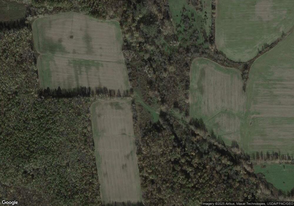
2681 State Route 7 N Pierpont, OH 44082
Estimated Value: $380,000 - $1,473,346
4
Beds
2
Baths
2,422
Sq Ft
$414/Sq Ft
Est. Value
About This Home
This home is located at 2681 State Route 7 N, Pierpont, OH 44082 and is currently estimated at $1,003,115, approximately $414 per square foot. 2681 State Route 7 N is a home located in Ashtabula County with nearby schools including Lakeshore Primary Elementary School, Gateway Elementary School, and Conneaut Middle School.
Ownership History
Date
Name
Owned For
Owner Type
Purchase Details
Closed on
Feb 11, 2021
Sold by
Eaton Carol L and Eaton John H
Bought by
Shean Betty and Sanford Brenda R
Current Estimated Value
Purchase Details
Closed on
Jan 16, 2015
Sold by
Hean Betty
Bought by
Shean Betty and Sanford Brenda R
Purchase Details
Closed on
Apr 19, 2012
Sold by
Ring Loren W and Ring Nancy A
Bought by
Ring Jeffrey M and Ring Carole L
Home Financials for this Owner
Home Financials are based on the most recent Mortgage that was taken out on this home.
Original Mortgage
$455,000
Interest Rate
3.91%
Mortgage Type
Purchase Money Mortgage
Purchase Details
Closed on
Feb 8, 2012
Sold by
Shean David E and Shean Betty
Bought by
Shean David E and Shean Betty
Purchase Details
Closed on
Jan 7, 2011
Sold by
Ring Loren W and Ring Nancy A
Bought by
Ring Loren W and Ring Nancy A
Create a Home Valuation Report for This Property
The Home Valuation Report is an in-depth analysis detailing your home's value as well as a comparison with similar homes in the area
Home Values in the Area
Average Home Value in this Area
Purchase History
| Date | Buyer | Sale Price | Title Company |
|---|---|---|---|
| Shean Betty | -- | None Available | |
| Shean Betty | -- | None Available | |
| Ring Jeffrey M | $591,185 | Buckeye Title | |
| Shean David E | -- | None Available | |
| Ring Loren W | -- | Buckeye Title |
Source: Public Records
Mortgage History
| Date | Status | Borrower | Loan Amount |
|---|---|---|---|
| Previous Owner | Ring Jeffrey M | $455,000 |
Source: Public Records
Tax History Compared to Growth
Tax History
| Year | Tax Paid | Tax Assessment Tax Assessment Total Assessment is a certain percentage of the fair market value that is determined by local assessors to be the total taxable value of land and additions on the property. | Land | Improvement |
|---|---|---|---|---|
| 2024 | $4,029 | $181,730 | $168,950 | $12,780 |
| 2023 | $2,138 | $181,730 | $168,950 | $12,780 |
| 2022 | $1,091 | $139,100 | $129,960 | $9,140 |
| 2021 | $1,119 | $139,100 | $129,960 | $9,140 |
| 2020 | $1,119 | $139,100 | $129,960 | $9,140 |
| 2019 | $1,669 | $136,780 | $126,980 | $9,800 |
| 2018 | $1,611 | $136,780 | $126,980 | $9,800 |
| 2017 | $2,127 | $136,780 | $126,980 | $9,800 |
| 2016 | $2,650 | $122,440 | $113,090 | $9,350 |
| 2015 | $2,646 | $122,440 | $113,090 | $9,350 |
| 2014 | $2,554 | $122,440 | $113,090 | $9,350 |
| 2013 | $1,063 | $91,530 | $81,380 | $10,150 |
Source: Public Records
Map
Nearby Homes
- 5011 Beckwith Rd
- 5024 Hilldom Rd
- 0 Middle Rd
- 2608 Stanhope Kelloggsville Rd
- 0 Root Rd
- 0 Lewis Rd
- 1148 Lewis Rd
- 350 Ohio 7
- 5051 Center Rd
- 2342 & 2412 Artman Rd
- 5958 Weaver Rd
- 0 Gageville-Monroe Rd
- 6232 Weaver Rd
- 6421 Weaver Rd
- 627 State Line Rd
- 3037 Philadelphia Rd
- 5719 N Richmond Rd
- 5581 Hatches Corners Rd
- V/L State Route 167
- 6174 US Route 6
- 2710 State Route 7 N
- 2650 State Route 7 N
- 2601 State Route 7 N
- 2555 State Route 7 N
- 2558 State Route 7 N
- 2848 State Route 7 N
- 2528 State Route 7 N
- 2514 Ohio 7
- 2514 State Route 7 N
- 2472 State Route 7 N
- 2445 State Route 7 N
- 2907 State Route 7 N
- 0 Hammond Corners Rd Unit 3606762
- 2963 State Route 7 N
- 2350 State Route 7 N
- 5848 Beckwith Rd
- 5802 Beckwith Rd
- 5860 Beckwith Rd
- 6211 Hammond Corners Rd
- 3050 State Route 7 N
