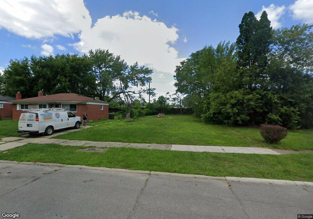
26814 Norfolk St Inkster, MI 48141
Estimated Value: $83,000 - $142,205
2
Beds
1
Bath
720
Sq Ft
$170/Sq Ft
Est. Value
About This Home
This home is located at 26814 Norfolk St, Inkster, MI 48141 and is currently estimated at $122,402, approximately $170 per square foot. 26814 Norfolk St is a home located in Wayne County with nearby schools including American International Academy - Elementary, Inkster Preparatory Academy, and Peterson-Warren Academy.
Ownership History
Date
Name
Owned For
Owner Type
Purchase Details
Closed on
Sep 25, 2007
Sold by
Harding Estella
Bought by
Carter Clarence David
Current Estimated Value
Home Financials for this Owner
Home Financials are based on the most recent Mortgage that was taken out on this home.
Original Mortgage
$73,000
Interest Rate
5.79%
Mortgage Type
Purchase Money Mortgage
Purchase Details
Closed on
Oct 31, 2006
Sold by
Harding Estella and Wells Estella
Bought by
Harding Estella
Create a Home Valuation Report for This Property
The Home Valuation Report is an in-depth analysis detailing your home's value as well as a comparison with similar homes in the area
Home Values in the Area
Average Home Value in this Area
Purchase History
| Date | Buyer | Sale Price | Title Company |
|---|---|---|---|
| Carter Clarence David | $73,000 | Blue Sky Title Llc | |
| Harding Estella | -- | None Available |
Source: Public Records
Mortgage History
| Date | Status | Borrower | Loan Amount |
|---|---|---|---|
| Previous Owner | Carter Clarence David | $73,000 |
Source: Public Records
Tax History Compared to Growth
Tax History
| Year | Tax Paid | Tax Assessment Tax Assessment Total Assessment is a certain percentage of the fair market value that is determined by local assessors to be the total taxable value of land and additions on the property. | Land | Improvement |
|---|---|---|---|---|
| 2025 | -- | $0 | $0 | $0 |
| 2024 | -- | $0 | $0 | $0 |
| 2023 | -- | $0 | $0 | $0 |
| 2022 | -- | $0 | $0 | $0 |
| 2021 | $0 | $0 | $0 | $0 |
| 2020 | $1,409 | $0 | $0 | $0 |
| 2019 | $1,409 | $0 | $0 | $0 |
| 2018 | $0 | $0 | $0 | $0 |
| 2017 | $1,300 | $0 | $0 | $0 |
| 2016 | $1,267 | $13,300 | $0 | $0 |
| 2015 | $1,730 | $17,300 | $0 | $0 |
| 2013 | $2,170 | $21,700 | $0 | $0 |
| 2012 | $1,409 | $23,900 | $2,100 | $21,800 |
Source: Public Records
Map
Nearby Homes
- 26703 Norfolk St
- 26669 Norfolk St
- 26631 New York St
- 27044 Yale St
- 26870 Florence St
- 27217 Yale St
- 27008 Penn St
- 27305 Norfolk St
- 27018 Kitch St
- 27042 Kitch St
- 26901 Kean St
- 26269 Dunning St
- 26431 Trowbridge St
- 3288 Inkster Rd
- 26160 Princeton St
- 3111 Moore St
- 26115 Princeton St
- 26419 Carlysle St
- 26653 Ross St
- 26206 Kitch St
- 26804 Norfolk St
- 26824 Norfolk St
- 26834 Norfolk St
- 26740 Norfolk St
- 26842 Norfolk St
- 26801 Norfolk St Unit Bldg-Unit
- 26741 Princeton St
- 26855 Princeton St
- 26739 Norfolk St
- 26724 Norfolk St
- 26733 Princeton St
- 26853 Norfolk St
- 26853 Norfolk St
- 26853 Norfolk St
- 26870 Norfolk St
- 26870 Norfolk St
- 26731 Norfolk St
- 26723 Princeton St
- 26714 Norfolk St
- 26818 Yale St