2682 Kerria Dr Unit 78 Howell, MI 48855
Estimated Value: $320,000 - $351,000
3
Beds
3
Baths
1,829
Sq Ft
$182/Sq Ft
Est. Value
About This Home
This home is located at 2682 Kerria Dr Unit 78, Howell, MI 48855 and is currently estimated at $332,012, approximately $181 per square foot. 2682 Kerria Dr Unit 78 is a home located in Livingston County with nearby schools including Ruahmah J. Hutchings Elementary, Parker Middle School, and Howell High School.
Ownership History
Date
Name
Owned For
Owner Type
Purchase Details
Closed on
Sep 30, 2004
Sold by
G D Communities Llc
Bought by
Hochman Allison
Current Estimated Value
Home Financials for this Owner
Home Financials are based on the most recent Mortgage that was taken out on this home.
Original Mortgage
$154,708
Outstanding Balance
$70,656
Interest Rate
4.62%
Mortgage Type
Purchase Money Mortgage
Estimated Equity
$261,356
Create a Home Valuation Report for This Property
The Home Valuation Report is an in-depth analysis detailing your home's value as well as a comparison with similar homes in the area
Home Values in the Area
Average Home Value in this Area
Purchase History
| Date | Buyer | Sale Price | Title Company |
|---|---|---|---|
| Hochman Allison | $193,385 | Philip R Seaver Title Co Inc |
Source: Public Records
Mortgage History
| Date | Status | Borrower | Loan Amount |
|---|---|---|---|
| Open | Hochman Allison | $154,708 | |
| Closed | Hochman Allison | $29,007 |
Source: Public Records
Tax History Compared to Growth
Tax History
| Year | Tax Paid | Tax Assessment Tax Assessment Total Assessment is a certain percentage of the fair market value that is determined by local assessors to be the total taxable value of land and additions on the property. | Land | Improvement |
|---|---|---|---|---|
| 2025 | $1,348 | $150,100 | $0 | $0 |
| 2024 | $1,310 | $152,500 | $0 | $0 |
| 2023 | $1,251 | $136,300 | $0 | $0 |
| 2022 | $970 | $109,100 | $0 | $0 |
| 2021 | $2,353 | $118,300 | $0 | $0 |
| 2020 | $2,299 | $109,100 | $0 | $0 |
| 2019 | $2,347 | $96,100 | $0 | $0 |
| 2018 | $2,109 | $90,700 | $0 | $0 |
| 2017 | $2,072 | $89,400 | $0 | $0 |
| 2016 | $2,056 | $84,000 | $0 | $0 |
| 2014 | $2,014 | $73,000 | $0 | $0 |
| 2012 | $2,014 | $65,200 | $0 | $0 |
Source: Public Records
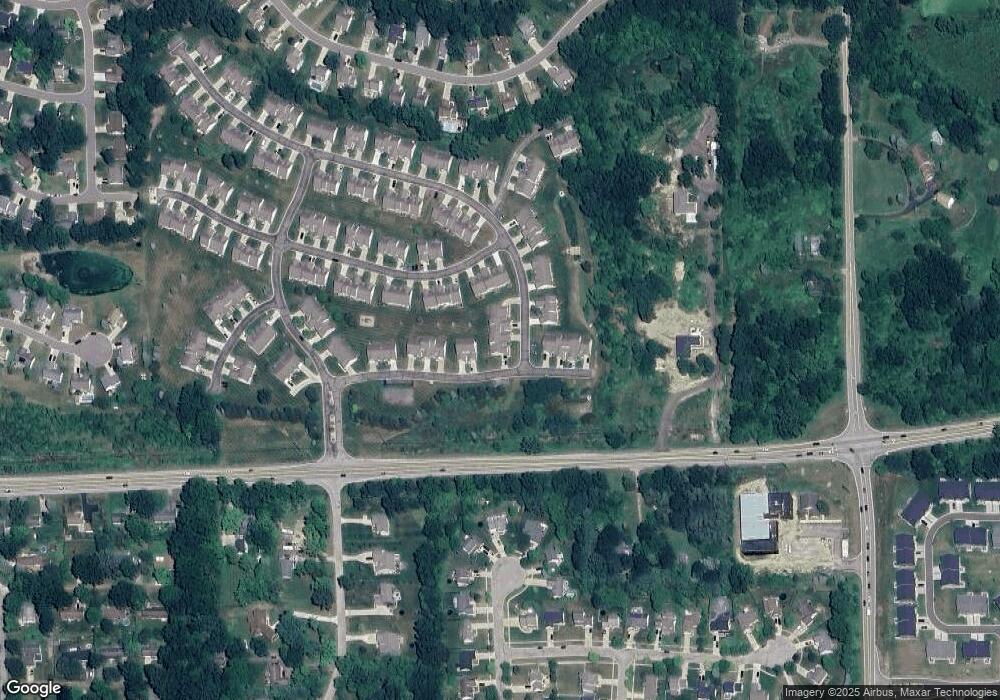
Map
Nearby Homes
- 1570 Princewood Blvd
- 1633 Frech Ln
- 1400 Oakcrest Rd
- 2511 Kerria Dr Unit 42
- 3040 Bogues View Dr
- 475 Cannonade Loop
- 559 Cannonade Loop
- 571 Cannonade Loop
- 523 Cannonade Loop
- 583 Cannonade Loop
- The Austin Plan at Broadmoor
- The Charlotte Plan at Broadmoor
- The Harrison Plan at Broadmoor
- The Bloomington Plan at Broadmoor
- The Columbia Plan at Broadmoor
- VACANT LOT Thompson Shore Dr
- 3224 Waverly Woods Ln
- 3227 Waverly Woods Ln
- 2653 Ravine Side N
- 2700 Court Ln N
- 2678 Kerria Dr Unit 77
- 2674 Kerria Dr Unit 76
- 2607 Aralia Dr Unit 80
- 2670 Kerria Dr Unit 75
- 2603 Aralia Dr Unit 79
- 2603 Aralia Dr Unit 31 79
- 2701 Aralia Dr Unit 71
- 2671 Kerria Dr Unit 70
- 2593 Aralia Dr
- 2705 Aralia Dr
- 2618 Katsura Ln Unit 102
- 2622 Katsura Ln Unit 103
- 2667 Kerria Dr Unit 69
- 2610 Katsura Ln Unit 101
- 2626 Katsura Ln Unit 104
- 2589 Aralia Dr Unit 82
- 2709 Aralia Dr
- 2602 Katsura Ln Unit 99
- 2606 Katsura Ln Unit 1, 100
- 2606 Katsura Ln Unit 1