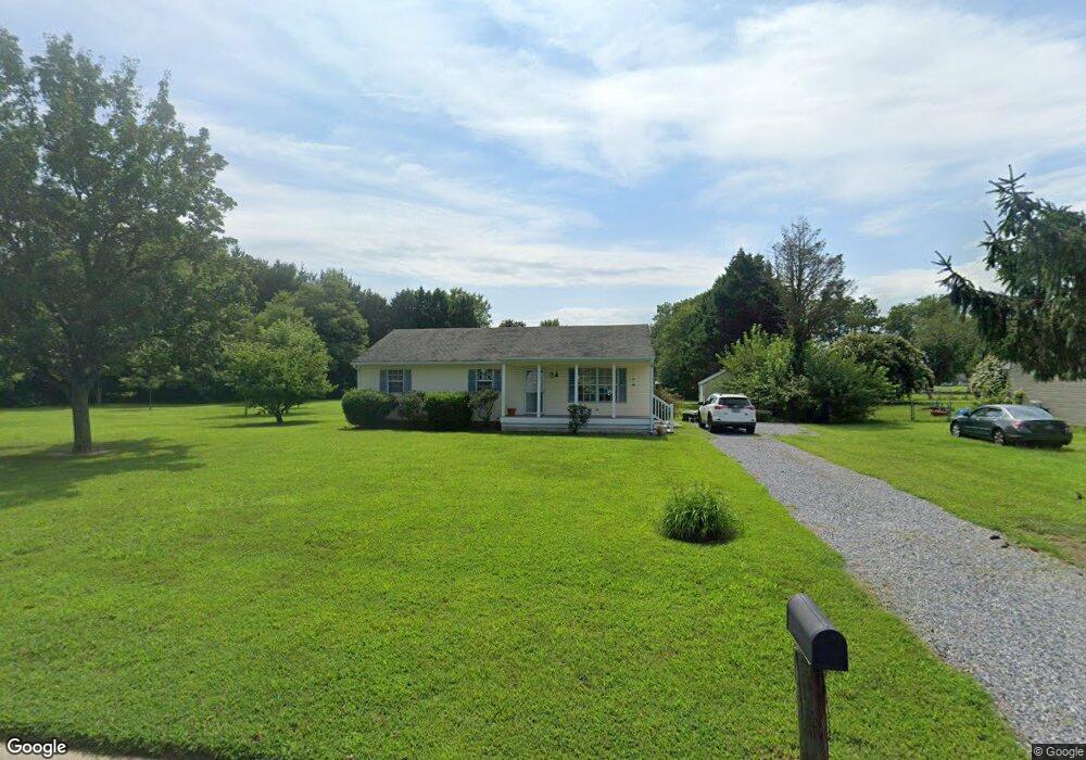
26821 Gunners Cir Salisbury, MD 21801
South Salisbury NeighborhoodEstimated Value: $260,700 - $286,000
--
Bed
2
Baths
1,232
Sq Ft
$225/Sq Ft
Est. Value
About This Home
This home is located at 26821 Gunners Cir, Salisbury, MD 21801 and is currently estimated at $277,675, approximately $225 per square foot. 26821 Gunners Cir is a home located in Wicomico County with nearby schools including Westside Primary School, Westside Intermediate School, and Salisbury Middle School.
Ownership History
Date
Name
Owned For
Owner Type
Purchase Details
Closed on
Aug 5, 1998
Sold by
Palmer Mark P and Palmer Sarah E
Bought by
Sharkey Maureen E
Current Estimated Value
Purchase Details
Closed on
Dec 28, 1989
Sold by
Culver Robert L and Culver Karen E
Bought by
Palmer Mark P and Palmer Sarah E
Home Financials for this Owner
Home Financials are based on the most recent Mortgage that was taken out on this home.
Original Mortgage
$65,400
Interest Rate
9.69%
Purchase Details
Closed on
Apr 27, 1989
Sold by
Ruark, Thomas H Inc
Bought by
Culver Robert L and Culver Karen E
Home Financials for this Owner
Home Financials are based on the most recent Mortgage that was taken out on this home.
Original Mortgage
$40,000
Interest Rate
10.99%
Create a Home Valuation Report for This Property
The Home Valuation Report is an in-depth analysis detailing your home's value as well as a comparison with similar homes in the area
Home Values in the Area
Average Home Value in this Area
Purchase History
| Date | Buyer | Sale Price | Title Company |
|---|---|---|---|
| Sharkey Maureen E | $84,000 | -- | |
| Palmer Mark P | $63,500 | -- | |
| Culver Robert L | $62,500 | -- |
Source: Public Records
Mortgage History
| Date | Status | Borrower | Loan Amount |
|---|---|---|---|
| Previous Owner | Palmer Mark P | $65,400 | |
| Previous Owner | Culver Robert L | $40,000 | |
| Closed | Sharkey Maureen E | -- |
Source: Public Records
Tax History Compared to Growth
Tax History
| Year | Tax Paid | Tax Assessment Tax Assessment Total Assessment is a certain percentage of the fair market value that is determined by local assessors to be the total taxable value of land and additions on the property. | Land | Improvement |
|---|---|---|---|---|
| 2025 | $1,582 | $181,900 | $0 | $0 |
| 2024 | $1,582 | $166,100 | $0 | $0 |
| 2023 | $1,546 | $150,300 | $42,900 | $107,400 |
| 2022 | $1,571 | $148,267 | $0 | $0 |
| 2021 | $1,547 | $146,233 | $0 | $0 |
| 2020 | $1,547 | $144,200 | $38,900 | $105,300 |
| 2019 | $1,498 | $137,500 | $0 | $0 |
| 2018 | $1,436 | $130,800 | $0 | $0 |
| 2017 | $1,365 | $124,100 | $0 | $0 |
| 2016 | -- | $123,033 | $0 | $0 |
| 2015 | $1,305 | $121,967 | $0 | $0 |
| 2014 | $1,305 | $120,900 | $0 | $0 |
Source: Public Records
Map
Nearby Homes
- 26924 Black Horse Run
- 6177 Ayrshire Dr
- 6151 Trails End Ct
- 6229 Ayrshire Dr
- 5991 Hounds Bay Cir
- 26882 Pratt Rd
- 6209 Rockawalkin Rd
- 6058 Gloucester Ct
- 26694 Pemberton Dr
- 5709 Royal Mile Blvd
- 0 King Stuart Dr Unit MDWC2018516
- 5973 Smithys Ln
- 27124 Patriot Dr
- 5686 N Nithsdale Dr Unit N
- LOT 19 Brandywood Ln
- Lot #8 Arrowwood Ct
- 5474 Royal Mile Blvd
- 5461 Loch Ness Terrace
- 5541 E Nithsdale Dr
- 5437 Nithsdale Dr
- 26811 Gunners Cir
- 26824 Gunners Cir
- 26808 Gunners Cir
- 26801 Gunners Cir
- 26818 Gunners Cir
- 6114 Ayrshire Dr
- 6132 Ayrshire Dr
- 6142 Ayrshire Dr
- 6108 Ayrshire Dr
- 6120 Ayrshire Dr
- 6151 Hunters Mill Dr
- 6148 Ayrshire Dr
- 6102 Ayrshire Dr
- 26787 Nanticoke Rd
- 6128 Hunters Mill Dr
- 6111 Ayrshire Dr
- 26775 Nanticoke Rd
- 6148 Hunters Mill Dr
- 26799 Nanticoke Rd
- 6152 Ayrshire Dr