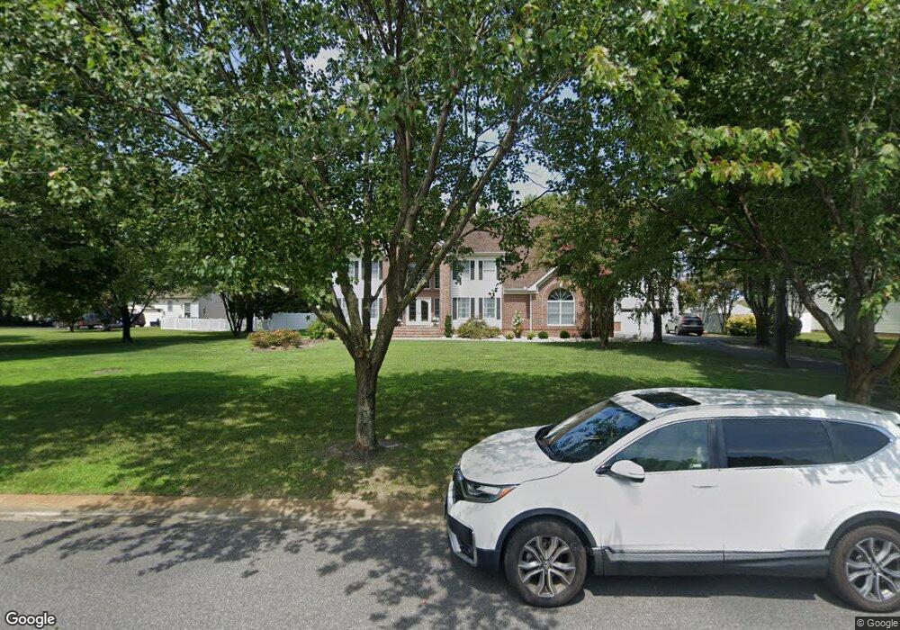
26822 Robert Burns Ln Salisbury, MD 21801
South Salisbury NeighborhoodEstimated Value: $786,150 - $991,000
Studio
7
Baths
4,883
Sq Ft
$187/Sq Ft
Est. Value
About This Home
This home is located at 26822 Robert Burns Ln, Salisbury, MD 21801 and is currently estimated at $912,288, approximately $186 per square foot. 26822 Robert Burns Ln is a home located in Wicomico County with nearby schools including Westside Primary School, Westside Intermediate School, and Salisbury Middle School.
Ownership History
Date
Name
Owned For
Owner Type
Purchase Details
Closed on
Jun 22, 2004
Sold by
Acle Fern and Acle J O
Bought by
Acle Fernando J and Acle Nicole L
Current Estimated Value
Purchase Details
Closed on
Jul 10, 2002
Sold by
Desai Gopal R and Desai Radhika
Bought by
Desai Gopal R and Desai Radhika
Purchase Details
Closed on
Feb 11, 2000
Sold by
Homes By Bijan Inc
Bought by
Desai Gopal R and Desai Radhika
Purchase Details
Closed on
Oct 27, 1998
Sold by
Nithsdale Inc
Bought by
Homes By Bijan Inc
Create a Home Valuation Report for This Property
The Home Valuation Report is an in-depth analysis detailing your home's value as well as a comparison with similar homes in the area
Home Values in the Area
Average Home Value in this Area
Purchase History
| Date | Buyer | Sale Price | Title Company |
|---|---|---|---|
| Acle Fernando J | -- | -- | |
| Desai Gopal R | $380,000 | -- | |
| Desai Gopal R | $369,000 | -- | |
| Homes By Bijan Inc | $25,000 | -- |
Source: Public Records
Mortgage History
| Date | Status | Borrower | Loan Amount |
|---|---|---|---|
| Closed | Desai Gopal R | -- |
Source: Public Records
Tax History
| Year | Tax Paid | Tax Assessment Tax Assessment Total Assessment is a certain percentage of the fair market value that is determined by local assessors to be the total taxable value of land and additions on the property. | Land | Improvement |
|---|---|---|---|---|
| 2025 | $5,627 | $672,267 | $0 | $0 |
| 2024 | $5,587 | $612,233 | $0 | $0 |
| 2023 | $5,446 | $552,200 | $49,000 | $503,200 |
| 2022 | $5,357 | $525,100 | $0 | $0 |
| 2021 | $4,916 | $498,000 | $0 | $0 |
| 2020 | $4,916 | $470,900 | $42,000 | $428,900 |
| 2019 | $4,794 | $452,300 | $0 | $0 |
| 2018 | $4,622 | $433,700 | $0 | $0 |
| 2017 | $4,426 | $415,100 | $0 | $0 |
| 2016 | -- | $411,233 | $0 | $0 |
| 2015 | $4,249 | $407,367 | $0 | $0 |
| 2014 | $4,249 | $403,500 | $0 | $0 |
Source: Public Records
Map
Nearby Homes
- 5474 Royal Mile Blvd
- 5482 Royal Mile Blvd
- 5461 Loch Ness Terrace
- 5423 Loch Ness Terrace
- 5709 Royal Mile Blvd
- 5437 Nithsdale Dr
- 5485 Saint Andrews Dr
- 27160 Scotland Pkwy
- 5662 Clydesdale Dr
- 5660 Caledonia Dr
- 26882 Pratt Rd
- 5991 Hounds Bay Cir
- 27120 Coach House Ln
- 27142 Coach House Ln
- 26188 High Banks Dr
- 6148 Ayrshire Dr
- 5799 Homestead St
- 6229 Ayrshire Dr
- 0 Campground Rd Unit MDWC2021796
- 5814 Homestead St
- 26836 Robert Burns Ln
- 26800 Robert Burns Ln
- 5579 King Stuart Dr
- 5591 King Stuart Dr
- 26840 Robert Burns Ln
- 26833 Robert Burns Ln
- 26821 Robert Burns Ln
- 26807 Robert Burns Ln
- 26839 Robert Burns Ln
- 5576 King Stuart Dr
- 26811 Mackenzie Dr
- Lot 17 King Stuart Dr
- Lot 11 King Stuart Dr
- Lot 37 King Stuart Dr
- Lot 36 King Stuart Dr
- Lot 68 King Stuart Dr
- Lot 63 King Stuart Dr
- Lot 62 King Stuart Dr
- Lot 60 King Stuart Dr
- 5564 King Stuart Dr
Your Personal Tour Guide
Ask me questions while you tour the home.