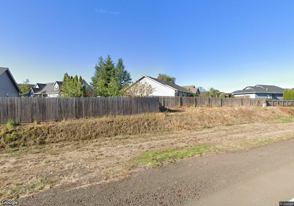
2683 Spring Ln Sutherlin, OR 97479
Estimated Value: $260,084 - $411,000
3
Beds
2
Baths
1,276
Sq Ft
$277/Sq Ft
Est. Value
About This Home
This home is located at 2683 Spring Ln, Sutherlin, OR 97479 and is currently estimated at $353,021, approximately $276 per square foot. 2683 Spring Ln is a home located in Douglas County with nearby schools including East Sutherlin Primary School, West Sutherlin Intermediate School, and Sutherlin Middle School.
Ownership History
Date
Name
Owned For
Owner Type
Purchase Details
Closed on
Mar 11, 2008
Sold by
Robinson Sam C and Robinson Gladys F
Bought by
Robinson Sam C and Robinson Gladys F
Current Estimated Value
Purchase Details
Closed on
May 7, 2004
Sold by
Robinson Sam C and Robinson Gladys F
Bought by
Gruesbeck Kenneth and Gruesbeck Yvonne J
Home Financials for this Owner
Home Financials are based on the most recent Mortgage that was taken out on this home.
Original Mortgage
$100,000
Interest Rate
5.5%
Mortgage Type
Unknown
Purchase Details
Closed on
Jan 14, 2004
Sold by
Gruesbeck Kenneth and Gruesbeck Yvonne J
Bought by
Gruesbeck Kenneth and Gruesbeck Yvonne J
Create a Home Valuation Report for This Property
The Home Valuation Report is an in-depth analysis detailing your home's value as well as a comparison with similar homes in the area
Home Values in the Area
Average Home Value in this Area
Purchase History
| Date | Buyer | Sale Price | Title Company |
|---|---|---|---|
| Robinson Sam C | -- | Amerititle | |
| Gruesbeck Kenneth | -- | Amerititle Inc | |
| Robinson Sam C | -- | Amerititle Inc | |
| Gruesbeck Kenneth | -- | Amerititle Inc |
Source: Public Records
Mortgage History
| Date | Status | Borrower | Loan Amount |
|---|---|---|---|
| Closed | Robinson Sam C | $100,000 |
Source: Public Records
Tax History
| Year | Tax Paid | Tax Assessment Tax Assessment Total Assessment is a certain percentage of the fair market value that is determined by local assessors to be the total taxable value of land and additions on the property. | Land | Improvement |
|---|---|---|---|---|
| 2025 | $2,511 | $211,485 | -- | -- |
| 2024 | $2,456 | $205,326 | -- | -- |
| 2023 | $2,386 | $199,346 | $0 | $0 |
| 2022 | $2,317 | $193,540 | $0 | $0 |
| 2021 | $2,251 | $187,903 | $0 | $0 |
| 2020 | $2,185 | $182,431 | $0 | $0 |
| 2019 | $2,122 | $177,118 | $0 | $0 |
| 2018 | $2,059 | $171,960 | $0 | $0 |
| 2017 | $2,110 | $166,952 | $0 | $0 |
| 2016 | $2,049 | $162,090 | $0 | $0 |
| 2015 | $1,990 | $157,369 | $0 | $0 |
| 2014 | $1,931 | $152,786 | $0 | $0 |
| 2013 | -- | $148,336 | $0 | $0 |
Source: Public Records
Map
Nearby Homes
- 2657 Greyfox Dr
- 303 Ashwood St
- 300 Ridgeway St
- 2719 Golfview Ave
- 2730 Golfview Ave
- 811 Pebble Creek St
- 149 Coles Valley St
- 126 Coles Valley St
- 135 Elkton St
- 157 Elkton St
- 702 Divot Loop
- 881 Medina Ave
- 0 Scardi Blvd Unit Lot 101
- 0 Scardi Blvd Unit Lot 1
- 909 Durham Ave
- 1907 W Duke Rd
- 324 Dakota St
- 582 Fairway Estates Dr
- 376 Bentgrass Ct
- 1716 Scardi Blvd Unit 174
- 126 Lilly Ct
- 130 Lilly Ct
- 2682 Spring Ln
- 2681 Spring Ln
- 2685 Westlake Ave
- 119 Lilly Ct
- 129 Lilly Ct
- 133 Lilly Ct
- 125 Lilly Ct
- 2701 Westlake Ave
- 180 Dovetail Ln
- 2680 Westlake Ave
- 2680 W Lake Ave
- 2678 Westlake Ave
- 110 Frontier Ct
- 114 Frontier Ct
- 108 Frontier Ct
- 104 Frontier Ct
- 118 Frontier Ct
- 204 Greyfox Dr