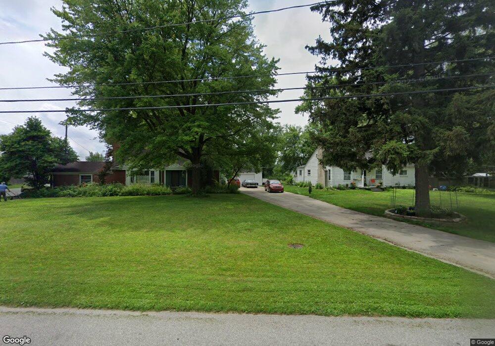
26837 Lyndon Redford, MI 48239
Estimated Value: $179,000 - $234,000
--
Bed
1
Bath
1,193
Sq Ft
$174/Sq Ft
Est. Value
About This Home
This home is located at 26837 Lyndon, Redford, MI 48239 and is currently estimated at $207,514, approximately $173 per square foot. 26837 Lyndon is a home located in Wayne County with nearby schools including John D. Pierce Middle School, Lee M. Thurston High School, and American Montessori Academy.
Ownership History
Date
Name
Owned For
Owner Type
Purchase Details
Closed on
Jan 24, 2017
Sold by
Navan Robert and Navan Cheryl
Bought by
Keoshian Kevin J
Current Estimated Value
Home Financials for this Owner
Home Financials are based on the most recent Mortgage that was taken out on this home.
Original Mortgage
$68,000
Outstanding Balance
$56,175
Interest Rate
4.12%
Mortgage Type
New Conventional
Estimated Equity
$151,339
Purchase Details
Closed on
May 25, 2012
Sold by
The Estate Of Eileen Lecznar
Bought by
Navan Robert and Navan Cheryl
Create a Home Valuation Report for This Property
The Home Valuation Report is an in-depth analysis detailing your home's value as well as a comparison with similar homes in the area
Home Values in the Area
Average Home Value in this Area
Purchase History
| Date | Buyer | Sale Price | Title Company |
|---|---|---|---|
| Keoshian Kevin J | $85,000 | Nations Title Agency | |
| Navan Robert | -- | None Available |
Source: Public Records
Mortgage History
| Date | Status | Borrower | Loan Amount |
|---|---|---|---|
| Open | Keoshian Kevin J | $68,000 |
Source: Public Records
Tax History Compared to Growth
Tax History
| Year | Tax Paid | Tax Assessment Tax Assessment Total Assessment is a certain percentage of the fair market value that is determined by local assessors to be the total taxable value of land and additions on the property. | Land | Improvement |
|---|---|---|---|---|
| 2025 | $1,032 | $93,000 | $0 | $0 |
| 2024 | $1,032 | $86,600 | $0 | $0 |
| 2023 | $988 | $74,200 | $0 | $0 |
| 2022 | $2,839 | $66,400 | $0 | $0 |
| 2021 | $2,759 | $62,700 | $0 | $0 |
| 2020 | $2,720 | $53,300 | $0 | $0 |
| 2019 | $2,661 | $46,100 | $0 | $0 |
| 2018 | $890 | $38,600 | $0 | $0 |
| 2017 | $2,075 | $35,900 | $0 | $0 |
| 2016 | $1,847 | $34,400 | $0 | $0 |
| 2015 | $2,519 | $30,400 | $0 | $0 |
| 2013 | $2,440 | $25,100 | $0 | $0 |
| 2012 | $1,602 | $27,900 | $12,000 | $15,900 |
Source: Public Records
Map
Nearby Homes
- 14243 Mason Dr
- 14174 San Jose
- 14068 Mercedes
- 13985 Breakfast Dr
- 14041 Minock Dr
- 26235 Ross Dr
- 14008 Mercedes
- 14844 Inkster Rd
- 13968 Inkster Rd
- 26056 Lyndon
- 27407 Buckingham St
- LOT 149 Seminole
- LOT 147 Seminole
- 27674 Western Golf Dr
- 13111 Sioux
- 14907 Taylor Blvd
- 14920 Taylor Blvd
- 25587 Ivanhoe
- 27480 5 Mile Rd
- 27510 Five Mile Rd
- 26801 Lyndon
- 26857 Lyndon
- 14058 Breakfast Dr Unit Bldg-Unit
- 14058 Breakfast Dr
- 14046 Breakfast Dr
- 14334 Brook Dr
- 14303 Breakfast Dr
- 26877 Lyndon
- 14100 Brook Dr Unit Bldg-Unit
- 14183 Shamrock Dr Unit Bldg-Unit
- 14183 Shamrock Dr
- 14347 Shamrock Dr
- 14140 Shamrock Dr
- 14346 Shamrock Dr
- 14258 Shamrock Dr
- 14272 Brook Dr
- 14191 Shamrock Dr
- 13957 Shamrock Dr
- 14364 Shamrock Dr
- 14284 Brook Dr