2684 Craig Rd Springfield, OH 45502
Estimated Value: $279,232 - $315,000
2
Beds
2
Baths
1,600
Sq Ft
$190/Sq Ft
Est. Value
About This Home
This home is located at 2684 Craig Rd, Springfield, OH 45502 and is currently estimated at $304,308, approximately $190 per square foot. 2684 Craig Rd is a home located in Clark County with nearby schools including Possum Elementary School, Shawnee Middle School/High School, and Twin Oaks Sda Elementary School.
Ownership History
Date
Name
Owned For
Owner Type
Purchase Details
Closed on
Jan 4, 2006
Sold by
Hall Lorie L and Burkhardt Lorie L
Bought by
Burkhardt Jan G
Current Estimated Value
Purchase Details
Closed on
Nov 6, 1998
Sold by
Smith Louise M
Bought by
Burkhardt Jan G and Burkhardt Lorie L
Home Financials for this Owner
Home Financials are based on the most recent Mortgage that was taken out on this home.
Original Mortgage
$117,079
Interest Rate
6.68%
Create a Home Valuation Report for This Property
The Home Valuation Report is an in-depth analysis detailing your home's value as well as a comparison with similar homes in the area
Purchase History
| Date | Buyer | Sale Price | Title Company |
|---|---|---|---|
| Burkhardt Jan G | -- | None Available | |
| Burkhardt Jan G | -- | -- |
Source: Public Records
Mortgage History
| Date | Status | Borrower | Loan Amount |
|---|---|---|---|
| Closed | Burkhardt Jan G | $117,079 |
Source: Public Records
Tax History
| Year | Tax Paid | Tax Assessment Tax Assessment Total Assessment is a certain percentage of the fair market value that is determined by local assessors to be the total taxable value of land and additions on the property. | Land | Improvement |
|---|---|---|---|---|
| 2025 | $5,037 | $83,700 | $17,190 | $66,510 |
| 2024 | $3,247 | $65,060 | $12,450 | $52,610 |
| 2023 | $3,247 | $65,060 | $12,450 | $52,610 |
| 2022 | $3,221 | $65,060 | $12,450 | $52,610 |
| 2021 | $2,789 | $50,430 | $9,650 | $40,780 |
| 2020 | $2,812 | $50,430 | $9,650 | $40,780 |
| 2019 | $2,856 | $50,430 | $9,650 | $40,780 |
| 2018 | $2,701 | $47,000 | $8,770 | $38,230 |
| 2017 | $2,767 | $47,002 | $8,771 | $38,231 |
| 2016 | $2,502 | $47,002 | $8,771 | $38,231 |
| 2015 | $2,507 | $45,535 | $8,771 | $36,764 |
| 2014 | $2,514 | $45,535 | $8,771 | $36,764 |
| 2013 | $2,192 | $45,535 | $8,771 | $36,764 |
Source: Public Records
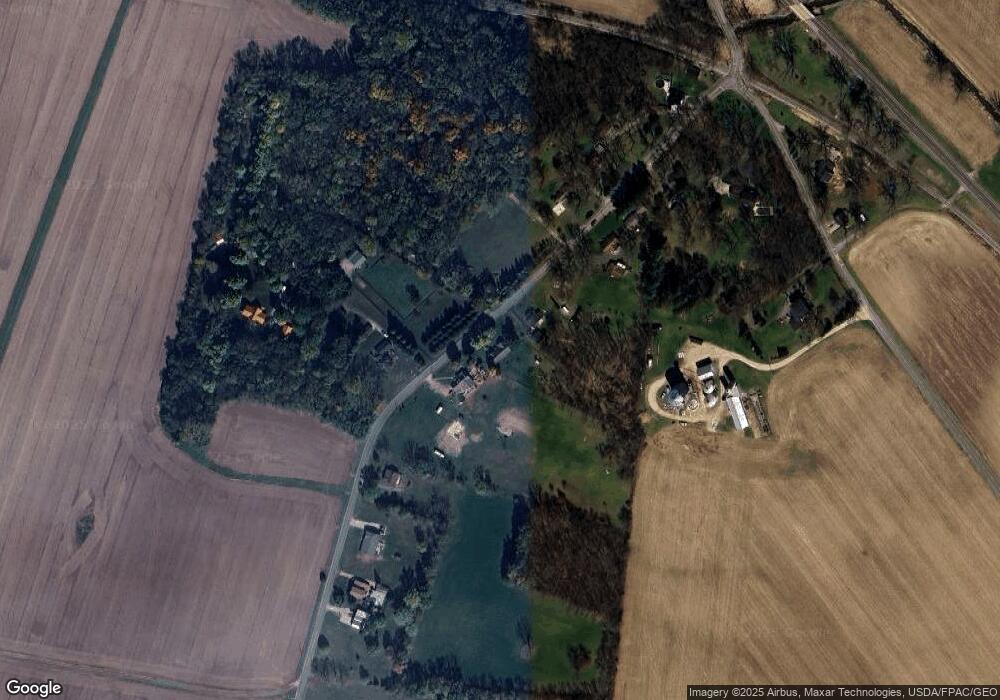
Map
Nearby Homes
- 2800 Craig Rd
- 2212 Ridge Rd
- 2164 Ridge Rd
- 0 Fletcher Chapel Rd Unit 1042048
- 5210 Kerns Rd
- 5143 E Pitchin Rd
- 414 S Landon Ln
- 413 S Landon Ln
- 410 S Landon Ln
- 407 S Landon Ln
- 405 S Landon Ln
- 4012 Altman Ave
- 4017 Chakeres Ave
- 4027 Chakeres Ave
- 4016 Chakeres Ave
- 221 Scorsese St
- 206 Scorsese St
- 204 Scorsese St
- 2076 Stowe Dr
- 2076-2078 Stowe Dr
- 2662 Craig Rd
- 2708 Craig Rd
- 2711 Craig Rd
- 2608 Craig Rd
- 2774 Craig Rd
- 2607 Craig Rd
- 2647 Craig Rd
- 2575 Craig Rd
- 2707 Craig Rd
- 2824 Craig Rd
- 5585 Old Route 70
- 2531 Craig Rd
- 0 Whitridge Rd
- 5614 Old Route 70
- 2910 Craig Rd
- 2960 Craig Rd
- 5375 S Charleston Pike
- 5585 Old Route 70
- 5661 Old Route 70
- 3010 Craig Rd
Your Personal Tour Guide
Ask me questions while you tour the home.