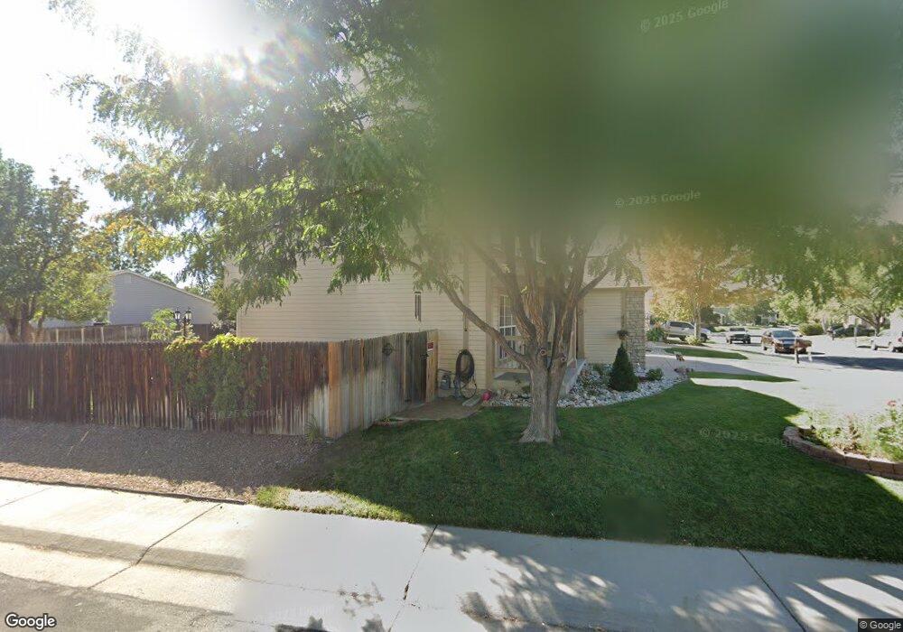
2684 E 131st Place Thornton, CO 80241
Signal Creek NeighborhoodEstimated Value: $525,971 - $607,000
3
Beds
3
Baths
1,748
Sq Ft
$319/Sq Ft
Est. Value
About This Home
This home is located at 2684 E 131st Place, Thornton, CO 80241 and is currently estimated at $557,993, approximately $319 per square foot. 2684 E 131st Place is a home located in Adams County with nearby schools including Tarver Elementary School, Century Middle School, and Horizon High School.
Ownership History
Date
Name
Owned For
Owner Type
Purchase Details
Closed on
Feb 27, 1997
Sold by
Spaziani Fulvio
Bought by
Spaziani Fulvio and Spaziani Donna K
Current Estimated Value
Home Financials for this Owner
Home Financials are based on the most recent Mortgage that was taken out on this home.
Original Mortgage
$107,000
Outstanding Balance
$13,183
Interest Rate
7.92%
Estimated Equity
$544,810
Create a Home Valuation Report for This Property
The Home Valuation Report is an in-depth analysis detailing your home's value as well as a comparison with similar homes in the area
Home Values in the Area
Average Home Value in this Area
Purchase History
| Date | Buyer | Sale Price | Title Company |
|---|---|---|---|
| Spaziani Fulvio | -- | Land Title | |
| Spaziani Fulvio | $159,000 | Land Title |
Source: Public Records
Mortgage History
| Date | Status | Borrower | Loan Amount |
|---|---|---|---|
| Open | Spaziani Fulvio | $107,000 |
Source: Public Records
Tax History Compared to Growth
Tax History
| Year | Tax Paid | Tax Assessment Tax Assessment Total Assessment is a certain percentage of the fair market value that is determined by local assessors to be the total taxable value of land and additions on the property. | Land | Improvement |
|---|---|---|---|---|
| 2024 | $2,801 | $32,690 | $6,880 | $25,810 |
| 2023 | $3,466 | $37,540 | $7,100 | $30,440 |
| 2022 | $3,051 | $27,700 | $7,300 | $20,400 |
| 2021 | $3,153 | $27,700 | $7,300 | $20,400 |
| 2020 | $3,029 | $27,150 | $7,510 | $19,640 |
| 2019 | $3,035 | $27,150 | $7,510 | $19,640 |
| 2018 | $2,845 | $24,720 | $7,490 | $17,230 |
| 2017 | $2,586 | $24,720 | $7,490 | $17,230 |
| 2016 | $2,168 | $20,170 | $4,540 | $15,630 |
| 2015 | $2,165 | $20,170 | $4,540 | $15,630 |
| 2014 | -- | $17,510 | $3,580 | $13,930 |
Source: Public Records
Map
Nearby Homes
- 2691 E 132nd Ave
- 2746 E 132nd Place
- 2788 E 132nd Cir
- 3007 E 131st Way
- 2275 E 129th Ave
- 12811 Josephine Ct
- 13540 Detroit St
- 2420 E 127th Ave
- 12829 Claude Place
- 2552 E 126th Way
- 12814 Jackson Cir
- 13080 Harrison Dr
- 3850 E 128th Way
- 13068 Harrison Dr
- 3802 E 127th Ln
- 13398 Race St
- 12672 Madison Ct
- 12625 Madison Way
- 12627 Madison Way
- 12534 2nd St
- 2674 E 131st Place
- 13127 Clayton Way
- 2664 E 131st Place
- 13136 Clayton Way
- 13148 Clayton Way
- 13115 Clayton Way
- 13168 Clayton Way
- 13128 Clayton Way
- 2677 E 131st Place
- 2654 E 131st Place
- 13116 Clayton Way
- 13176 Clayton Way
- 13118 Clayton Ct
- 13122 Clayton Ct
- 2653 E 131st Place
- 13108 Clayton Way
- 13188 Clayton Way
- 13153 Elizabeth St
- 13149 Elizabeth St
- 2644 E 131st Place