2684 Road 10.4 NW Ephrata, WA 98823
Estimated Value: $603,000 - $853,415
4
Beds
3
Baths
2,252
Sq Ft
$313/Sq Ft
Est. Value
About This Home
This home is located at 2684 Road 10.4 NW, Ephrata, WA 98823 and is currently estimated at $704,354, approximately $312 per square foot. 2684 Road 10.4 NW is a home with nearby schools including Ephrata High School.
Ownership History
Date
Name
Owned For
Owner Type
Purchase Details
Closed on
Apr 28, 2005
Sold by
Brown Clinton L
Bought by
Black Brian A and Black Alain M
Current Estimated Value
Home Financials for this Owner
Home Financials are based on the most recent Mortgage that was taken out on this home.
Original Mortgage
$26,500
Interest Rate
5.92%
Mortgage Type
Purchase Money Mortgage
Purchase Details
Closed on
Jan 12, 2005
Sold by
Brown Clinton L
Bought by
Brown Clinton L and Clinton L Brown Revocable Living Trust
Create a Home Valuation Report for This Property
The Home Valuation Report is an in-depth analysis detailing your home's value as well as a comparison with similar homes in the area
Home Values in the Area
Average Home Value in this Area
Purchase History
| Date | Buyer | Sale Price | Title Company |
|---|---|---|---|
| Black Brian A | $30,000 | Chicago Title Ins Co | |
| Brown Clinton L | -- | None Available |
Source: Public Records
Mortgage History
| Date | Status | Borrower | Loan Amount |
|---|---|---|---|
| Closed | Black Brian A | $26,500 |
Source: Public Records
Tax History Compared to Growth
Tax History
| Year | Tax Paid | Tax Assessment Tax Assessment Total Assessment is a certain percentage of the fair market value that is determined by local assessors to be the total taxable value of land and additions on the property. | Land | Improvement |
|---|---|---|---|---|
| 2024 | $6,275 | $531,426 | $70,926 | $460,500 |
| 2023 | $6,026 | $481,285 | $60,825 | $420,460 |
| 2022 | $5,983 | $481,285 | $60,825 | $420,460 |
| 2021 | $6,797 | $481,285 | $60,825 | $420,460 |
| 2020 | $6,439 | $420,000 | $60,825 | $359,175 |
| 2019 | $4,649 | $444,850 | $61,380 | $383,470 |
| 2018 | $5,558 | $386,910 | $21,130 | $365,780 |
| 2017 | $4,884 | $361,045 | $21,130 | $339,915 |
| 2016 | $4,674 | $327,120 | $28,175 | $298,945 |
| 2013 | -- | $28,175 | $28,175 | $0 |
Source: Public Records
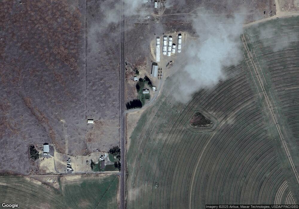
Map
Nearby Homes
- 3198 Road 10 9 NW
- 11137 Dodson Rd NW
- 0 NW 11 3 Rd Unit NWM2419631
- 0 NW 11 3 Rd Unit NWM2419794
- 0 Road D NW
- 12455 Dodson Rd NW
- 0 Dodson Rd NW Unit NWM2418925
- 12687 Dodson Rd NW
- 2923 Road 12.8 NW
- 344 Oatman (Lots 15 & 7) Place
- 40 Sacagawea Dr
- 0 E Lot 21 E Coyote Trail
- 5365 W Coyote Trail
- 2510 Pheasant Dr
- 0 Lot 45 W Coyote Rd Unit NWM2316023
- 0 Lot 21 Settler Ln
- 0 Parcel 160906000 Unit NWM2346757
- 0 Parcel 160914002 Rd A 5 NW
- 2396 Pacific St
- 70 Sunwest Dr
- 2502 Road 10 NW
- 10435 Dodson Rd NW
- 10504 Dodson Rd NW
- 10613 Dodson Rd NW
- 2983 Road 10 NW
- 10693 Dodson Rd NW
- 10698 Dodson Rd NW
- 2675 Road 10.8 NW
- 0 Rd 10 8 NW Unit 29034353
- 4 NW 10 8 Rd
- 10949 Dodson Rd NW
- 10756 Dodson Rd N
- 10756 Dodson Rd NW
- 2595 Road 10 8 NW
- 2595 Road 10 NW
- 2802 Road 10.8 NW
- 10437 Dodson Rd N
- 10782 Dodson Rd NW
- 10830 Dodson Rd NW
- 2523 Road 10.8 NW