2684 Walston Rd Mount Airy, MD 21771
Estimated Value: $566,194 - $622,000
Studio
2
Baths
1,929
Sq Ft
$307/Sq Ft
Est. Value
About This Home
This home is located at 2684 Walston Rd, Mount Airy, MD 21771 and is currently estimated at $593,049, approximately $307 per square foot. 2684 Walston Rd is a home located in Carroll County with nearby schools including Winfield Elementary School, Mount Airy Middle School, and South Carroll High School.
Ownership History
Date
Name
Owned For
Owner Type
Purchase Details
Closed on
Jun 29, 1994
Sold by
Thomas Marjorie C
Bought by
Moore Robert C
Current Estimated Value
Home Financials for this Owner
Home Financials are based on the most recent Mortgage that was taken out on this home.
Original Mortgage
$75,000
Interest Rate
8.55%
Purchase Details
Closed on
Jan 21, 1985
Sold by
Newport Corporation The
Bought by
Toms Stephen
Create a Home Valuation Report for This Property
The Home Valuation Report is an in-depth analysis detailing your home's value as well as a comparison with similar homes in the area
Purchase History
| Date | Buyer | Sale Price | Title Company |
|---|---|---|---|
| Moore Robert C | $189,500 | -- | |
| Toms Stephen | $23,500 | -- |
Source: Public Records
Mortgage History
| Date | Status | Borrower | Loan Amount |
|---|---|---|---|
| Closed | Moore Robert C | $75,000 |
Source: Public Records
Tax History
| Year | Tax Paid | Tax Assessment Tax Assessment Total Assessment is a certain percentage of the fair market value that is determined by local assessors to be the total taxable value of land and additions on the property. | Land | Improvement |
|---|---|---|---|---|
| 2025 | $4,639 | $408,867 | $0 | $0 |
| 2024 | $4,442 | $391,300 | $194,500 | $196,800 |
| 2023 | $4,268 | $375,800 | $0 | $0 |
| 2022 | $4,095 | $360,300 | $0 | $0 |
| 2021 | $8,032 | $344,800 | $154,500 | $190,300 |
| 2020 | $3,956 | $344,800 | $154,500 | $190,300 |
| 2019 | $3,956 | $344,800 | $154,500 | $190,300 |
| 2018 | $3,942 | $346,700 | $154,500 | $192,200 |
| 2017 | $3,881 | $341,200 | $0 | $0 |
| 2016 | -- | $335,700 | $0 | $0 |
| 2015 | -- | $330,200 | $0 | $0 |
| 2014 | -- | $330,200 | $0 | $0 |
Source: Public Records
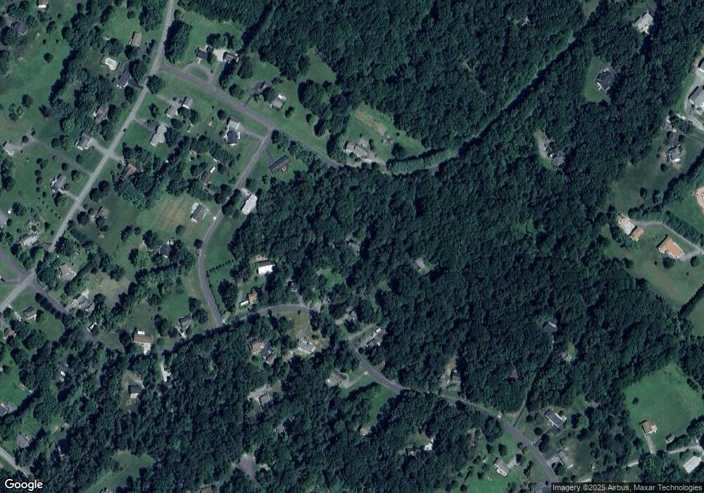
Map
Nearby Homes
- 2507 Gillis Rd
- 4814 Ridge Rd
- 3222 Kimberly Dr
- 4505 Gray Horse Dr
- 0 Cabbage Spring Rd
- 4328 Ridge Rd Unit 13
- 4328 Ridge Rd Unit 14
- 4525 Roop Rd
- 2514 W Liberty Rd
- 2613 Liberty Rd
- 5422 Woodbine Rd
- 2900 Gillis Falls Rd
- 5730 Ridge Rd
- 5884 Woodbine Rd
- 6207 Belmont Cir
- 1658 Sams Creek Rd
- 6181 Challedon Cir
- 3410 Tuckaway Dr
- 15539 Liberty Rd
- 5232 Freter Rd
- 2682 Walston Rd
- 2680 Walston Rd
- 2686 Walston Rd
- 2589 Vance Dr
- 2588 Vance Dr
- 2678 Walston Rd
- 2688 Walston Rd
- 5101 Valley Hill Dr
- 5105 Valley Hill Dr
- 2679 Walston Rd
- 2687 Walston Rd
- 5104 Valley Hill Dr
- 2594 Vance Dr
- 5102 Valley Hill Dr
- 5100 Valley Hill Dr
- 2676 Walston Rd
- 2530 Penn Hill Rd
- 2690 Walston Rd
- 2677 Walston Rd
- 2689 Walston Rd
Your Personal Tour Guide
Ask me questions while you tour the home.