2685 Ravineside Ln N Unit 215 Howell, MI 48843
Estimated Value: $401,840 - $472,000
3
Beds
2
Baths
2,006
Sq Ft
$221/Sq Ft
Est. Value
About This Home
This home is located at 2685 Ravineside Ln N Unit 215, Howell, MI 48843 and is currently estimated at $443,210, approximately $220 per square foot. 2685 Ravineside Ln N Unit 215 is a home located in Livingston County with nearby schools including Northwest Elementary School, Highlander Way Middle School, and Howell High School.
Ownership History
Date
Name
Owned For
Owner Type
Purchase Details
Closed on
Dec 9, 1998
Sold by
Delcor Homes Lake Shore Pointe Ltd
Bought by
Harbaugh Robert P and Harbaugh Janell L
Current Estimated Value
Home Financials for this Owner
Home Financials are based on the most recent Mortgage that was taken out on this home.
Original Mortgage
$172,800
Outstanding Balance
$39,421
Interest Rate
6.83%
Estimated Equity
$403,789
Create a Home Valuation Report for This Property
The Home Valuation Report is an in-depth analysis detailing your home's value as well as a comparison with similar homes in the area
Home Values in the Area
Average Home Value in this Area
Purchase History
| Date | Buyer | Sale Price | Title Company |
|---|---|---|---|
| Harbaugh Robert P | $216,385 | -- |
Source: Public Records
Mortgage History
| Date | Status | Borrower | Loan Amount |
|---|---|---|---|
| Open | Harbaugh Robert P | $172,800 |
Source: Public Records
Tax History Compared to Growth
Tax History
| Year | Tax Paid | Tax Assessment Tax Assessment Total Assessment is a certain percentage of the fair market value that is determined by local assessors to be the total taxable value of land and additions on the property. | Land | Improvement |
|---|---|---|---|---|
| 2025 | $1,800 | $185,100 | $0 | $0 |
| 2024 | $1,748 | $180,700 | $0 | $0 |
| 2023 | $1,670 | $156,000 | $0 | $0 |
| 2022 | $835 | $133,100 | $0 | $0 |
| 2021 | $2,320 | $139,700 | $0 | $0 |
| 2020 | $2,343 | $133,100 | $0 | $0 |
| 2019 | $2,313 | $125,100 | $0 | $0 |
| 2018 | $2,337 | $118,700 | $0 | $0 |
| 2017 | $2,310 | $117,500 | $0 | $0 |
| 2016 | $2,294 | $108,500 | $0 | $0 |
| 2014 | $2,325 | $91,300 | $0 | $0 |
| 2012 | $2,325 | $87,500 | $0 | $0 |
Source: Public Records
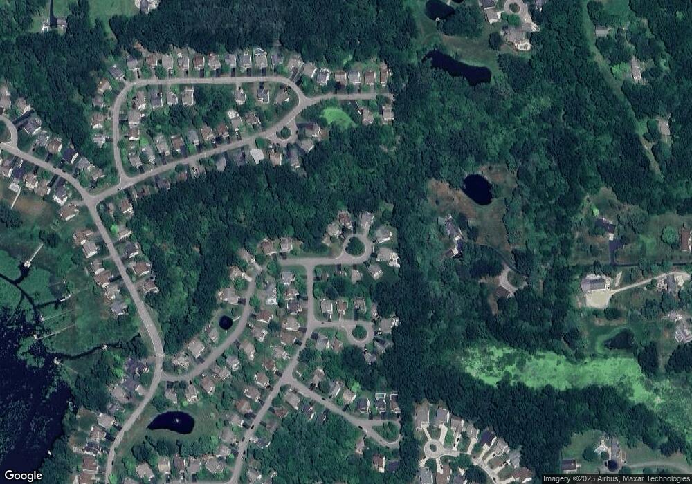
Map
Nearby Homes
- 2653 Ravine Side N
- 2700 Court Ln N
- 2485 Wellington Dr
- 3020 Brookline
- 3227 Waverly Woods Ln
- 2830 Bonny Brook Dr Unit 3
- VACANT LOT Thompson Shore Dr
- 330 Harvard Dr
- 2416 Monte Carlo Dr
- Vac Harvard Dr
- 275 Harvard Dr
- 1400 Oakcrest Rd
- 1088 River Line Dr Unit 324
- 1633 Frech Ln
- 3040 Bogues View Dr
- 1570 Princewood Blvd
- 2607 E Grand River Ave
- 2643 Kerria Dr Unit 65
- 571 Cannonade Loop
- 523 Cannonade Loop
- 2677 Ravineside Ln N
- 2669 Ravineside Ln N Unit 213
- 2682 Ravineside Ln N Unit 216
- 2670 Ravineside Ln N Unit 217
- 2661 Ravineside Ln N Unit 212
- 2653 Ravineside Ln N
- 2608 Ravineside Ln N
- 2608 Ravine Side Ln N
- 2629 Hilltop Ln Unit 209
- 2600 Ravineside Ln N Unit 237
- 2600 Ravineside Ln N
- 2630 Hilltop Ln
- 2621 Hilltop Ln Unit 208
- 2741 W Amberly Blvd
- 2616 Hilltop Ln Unit 219
- 2592 Ravineside Ln N Unit 238
- 2613 Hilltop Ln Unit 207
- 2753 W Amberly Blvd
- 2584 Ravineside Ln N Unit Bldg-Unit
- 2584 Ravineside Ln N Unit 239