2686 Burnt Valley Rd Unit B Chewelah, WA 99109
Estimated Value: $363,000 - $622,157
3
Beds
3
Baths
2,968
Sq Ft
$181/Sq Ft
Est. Value
About This Home
This home is located at 2686 Burnt Valley Rd Unit B, Chewelah, WA 99109 and is currently estimated at $538,039, approximately $181 per square foot. 2686 Burnt Valley Rd Unit B is a home located in Stevens County with nearby schools including Gess Elementary School and Jenkins Junior/Senior High School.
Ownership History
Date
Name
Owned For
Owner Type
Purchase Details
Closed on
Aug 28, 2017
Sold by
Lien Scott L and Lien Tammy S
Bought by
Riese Richard M and Riese Peggy J
Current Estimated Value
Home Financials for this Owner
Home Financials are based on the most recent Mortgage that was taken out on this home.
Original Mortgage
$278,806
Outstanding Balance
$233,197
Interest Rate
3.96%
Mortgage Type
VA
Estimated Equity
$304,842
Purchase Details
Closed on
Sep 19, 2006
Sold by
Meucci William T and Meucci Marguerite
Bought by
Lien Scott and Lien Scott L
Home Financials for this Owner
Home Financials are based on the most recent Mortgage that was taken out on this home.
Original Mortgage
$53,100
Interest Rate
6.51%
Mortgage Type
New Conventional
Create a Home Valuation Report for This Property
The Home Valuation Report is an in-depth analysis detailing your home's value as well as a comparison with similar homes in the area
Home Values in the Area
Average Home Value in this Area
Purchase History
| Date | Buyer | Sale Price | Title Company |
|---|---|---|---|
| Riese Richard M | $269,900 | Stevens County Title Company | |
| Lien Scott | $62,500 | Stevens County Title Co |
Source: Public Records
Mortgage History
| Date | Status | Borrower | Loan Amount |
|---|---|---|---|
| Open | Riese Richard M | $278,806 | |
| Previous Owner | Lien Scott | $53,100 |
Source: Public Records
Tax History Compared to Growth
Tax History
| Year | Tax Paid | Tax Assessment Tax Assessment Total Assessment is a certain percentage of the fair market value that is determined by local assessors to be the total taxable value of land and additions on the property. | Land | Improvement |
|---|---|---|---|---|
| 2024 | $2,948 | $394,664 | $114,100 | $280,564 |
| 2023 | $2,290 | $296,320 | $68,460 | $227,860 |
| 2022 | $2,336 | $279,784 | $68,460 | $211,324 |
| 2021 | $2,499 | $270,072 | $68,460 | $201,612 |
| 2020 | $2,476 | $270,072 | $68,460 | $201,612 |
| 2019 | $2,153 | $257,363 | $68,460 | $188,903 |
| 2018 | $2,497 | $225,597 | $57,050 | $168,547 |
| 2017 | $2,309 | $240,225 | $57,050 | $183,175 |
| 2016 | $1,950 | $240,225 | $57,050 | $183,175 |
| 2015 | $1,999 | $240,225 | $57,050 | $183,175 |
| 2013 | -- | $240,225 | $57,050 | $183,175 |
Source: Public Records
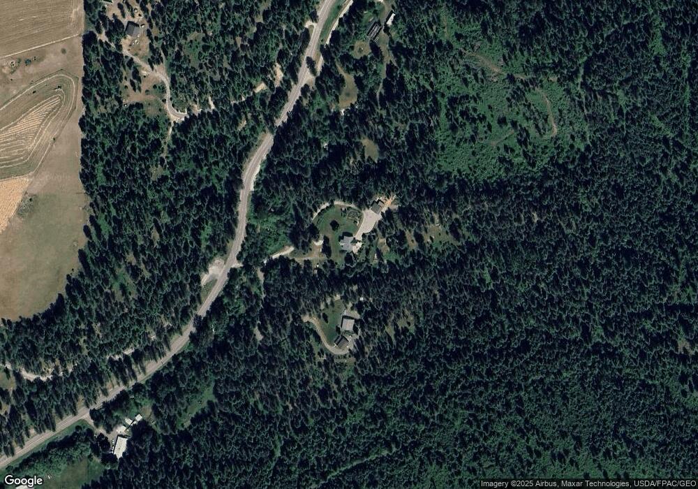
Map
Nearby Homes
- 2559F United Copper Mine Rd
- 2559 United Copper Mine Rd
- 2633 Highline Rd
- 2443 Eagle Lambert Rd
- 26XX Sand Canyon Lot 2 Rd
- 2367 Morse Way
- 3033 Major Rd
- 203 Eagle Dr
- 207 Eagle Dr
- 102 Trappers Loop W
- 183 E Trappers Loop
- 268 Eagle Dr
- 102 SW Trappers Loop
- 231 Hogans Way
- 252 Eagle Dr
- 250 Hogans Way
- Lot 12 Hogans Way
- 2419Q Sand Canyon Rd
- 270 Eagle Dr
- 2419 Sand Canyon Rd
- 2686 Burnt Valley Rd
- 2660 Burnt Valley Rd
- 2660XX Burnt Valley Rd
- 2693 Burnt Valley Rd
- 2611 Burnt Valley Rd
- 2690 Burnt Valley Rd
- 2706 Burnt Valley Rd
- 2685 Burnt Valley Rd
- 2685 Burnt Valley Rd
- 2728 Burnt Valley Rd
- 26XX Burnt Valley Rd
- 2700 Blk Burnt Valley
- 2604 Burnt Valley Rd
- 2767 Burnt Valley Rd
- 2584 Burnt Valley Rd
- 2716 Moser Rd
- 2611 United Copper Mine Rd
- 2563 Burnt Valley Rd
- 2642 Highline Rd
- 2791 Burnt Valley Rd