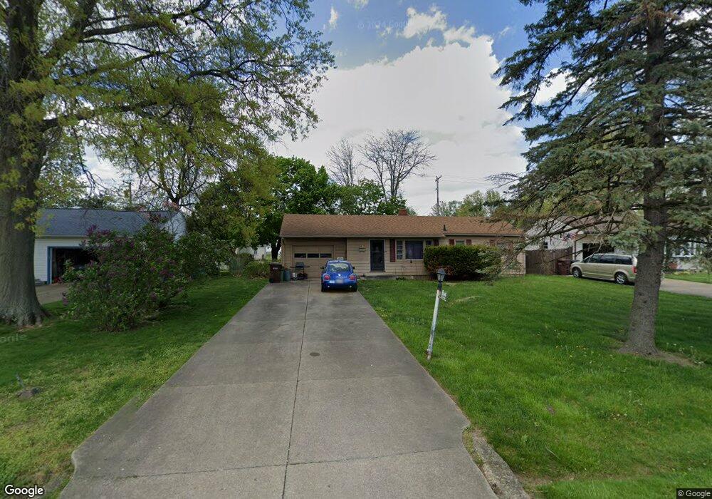
2687 Rhoadesdale Ave Akron, OH 44312
Ellet NeighborhoodEstimated Value: $118,000 - $167,000
3
Beds
1
Bath
1,170
Sq Ft
$126/Sq Ft
Est. Value
About This Home
This home is located at 2687 Rhoadesdale Ave, Akron, OH 44312 and is currently estimated at $147,368, approximately $125 per square foot. 2687 Rhoadesdale Ave is a home located in Summit County with nearby schools including Springfield High School, Summit Academy Akron Elementary School, and Hatton Community Learning Center.
Ownership History
Date
Name
Owned For
Owner Type
Purchase Details
Closed on
Dec 3, 2024
Sold by
Smith Ronald E
Bought by
Arends Nancy Lyn and Arends Megan R
Current Estimated Value
Home Financials for this Owner
Home Financials are based on the most recent Mortgage that was taken out on this home.
Original Mortgage
$99,750
Outstanding Balance
$98,927
Interest Rate
6.54%
Mortgage Type
New Conventional
Estimated Equity
$48,441
Create a Home Valuation Report for This Property
The Home Valuation Report is an in-depth analysis detailing your home's value as well as a comparison with similar homes in the area
Home Values in the Area
Average Home Value in this Area
Purchase History
| Date | Buyer | Sale Price | Title Company |
|---|---|---|---|
| Arends Nancy Lyn | $105,000 | None Listed On Document |
Source: Public Records
Mortgage History
| Date | Status | Borrower | Loan Amount |
|---|---|---|---|
| Open | Arends Nancy Lyn | $99,750 |
Source: Public Records
Tax History
| Year | Tax Paid | Tax Assessment Tax Assessment Total Assessment is a certain percentage of the fair market value that is determined by local assessors to be the total taxable value of land and additions on the property. | Land | Improvement |
|---|---|---|---|---|
| 2024 | $2,650 | $45,879 | $8,320 | $37,559 |
| 2023 | $2,650 | $45,879 | $8,320 | $37,559 |
| 2022 | $2,211 | $33,005 | $5,985 | $27,020 |
| 2021 | $2,166 | $33,005 | $5,985 | $27,020 |
| 2020 | $2,136 | $33,010 | $5,990 | $27,020 |
| 2019 | $1,682 | $22,840 | $6,950 | $15,890 |
| 2018 | $1,550 | $22,840 | $6,950 | $15,890 |
| 2017 | $1,579 | $22,840 | $6,950 | $15,890 |
| 2016 | $1,593 | $22,360 | $6,950 | $15,410 |
| 2015 | $1,579 | $22,360 | $6,950 | $15,410 |
| 2014 | $1,560 | $22,360 | $6,950 | $15,410 |
| 2013 | $1,575 | $22,480 | $6,950 | $15,530 |
Source: Public Records
Map
Nearby Homes
- 674 Stevenson Ave
- 568 Stevenson Ave
- 572 Cora Ave
- 480 Wirth Ave
- 479 Junior Ave
- 410 Columbine Ave
- 931 Crestline Dr
- 2809 McElwain Rd
- 961 Crestline Dr
- 2789 Old Home Rd
- 2380 Delaware Ave
- 1103 Crestline Dr
- 412 Stevenson Ave
- 2371 Hillstock Ave
- 448 Fritsch Ave
- 404 Wirth Ave
- 1054 Crestline Dr
- 805 Utica Ave
- 2616 Terrace Ave
- 515 Taylor Ave
- 2695 Rhoadesdale Ave
- 2679 Rhoadesdale Ave
- 2701 Rhoadesdale Ave
- 2692 Rhoadesdale Ave
- 2698 Rhoadesdale Ave
- 2671 Rhoadesdale Ave
- 648 Alpha Ave
- 2686 Rhoadesdale Ave
- 2704 Rhoadesdale Ave
- 2711 Rhoadesdale Ave
- 638 Alpha Ave
- 645 Alpha Ave
- 2674 Rhoadesdale Ave
- 641 High Grove Blvd
- 639 Alpha Ave
- 2718 Rhoadesdale Ave
- 2719 Rhoadesdale Ave
- 2661 Rhoadesdale Ave
- 633 Alpha Ave
- 631 High Grove Blvd
Your Personal Tour Guide
Ask me questions while you tour the home.