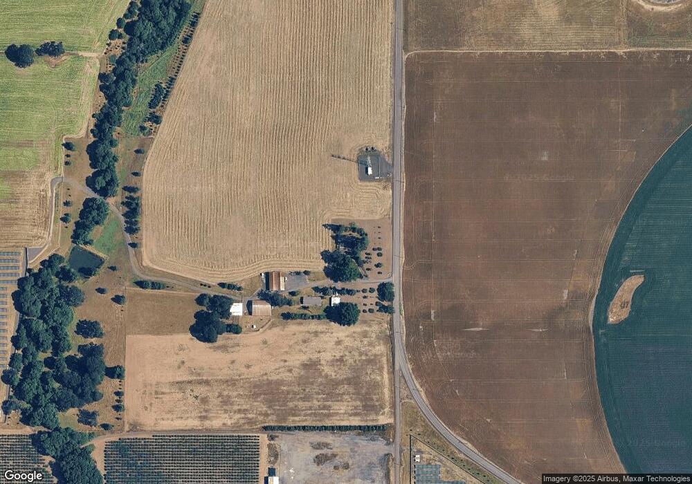
26871 SW Ballston Rd Sheridan, OR 97378
Estimated Value: $397,000 - $554,000
3
Beds
1
Bath
1,572
Sq Ft
$313/Sq Ft
Est. Value
About This Home
This home is located at 26871 SW Ballston Rd, Sheridan, OR 97378 and is currently estimated at $492,023, approximately $312 per square foot. 26871 SW Ballston Rd is a home located in Yamhill County with nearby schools including Faulconer-Chapman School, Sheridan High School, and Sheridan Allprep Academy.
Ownership History
Date
Name
Owned For
Owner Type
Purchase Details
Closed on
Mar 1, 2016
Sold by
Gutbrod Marjorie J
Bought by
Gutbrod Peter R and Banke Cynthia E
Current Estimated Value
Purchase Details
Closed on
Sep 2, 2014
Sold by
Gutbrod Marjorie J
Bought by
Roscoe R Gutbrod Trust and Marjorie J Gutbrod Trust
Home Financials for this Owner
Home Financials are based on the most recent Mortgage that was taken out on this home.
Original Mortgage
$100,000
Interest Rate
4.7%
Mortgage Type
Adjustable Rate Mortgage/ARM
Create a Home Valuation Report for This Property
The Home Valuation Report is an in-depth analysis detailing your home's value as well as a comparison with similar homes in the area
Home Values in the Area
Average Home Value in this Area
Purchase History
| Date | Buyer | Sale Price | Title Company |
|---|---|---|---|
| Gutbrod Peter R | -- | None Available | |
| Roscoe R Gutbrod Trust | -- | Ticor Title |
Source: Public Records
Mortgage History
| Date | Status | Borrower | Loan Amount |
|---|---|---|---|
| Closed | Roscoe R Gutbrod Trust | $100,000 |
Source: Public Records
Tax History Compared to Growth
Tax History
| Year | Tax Paid | Tax Assessment Tax Assessment Total Assessment is a certain percentage of the fair market value that is determined by local assessors to be the total taxable value of land and additions on the property. | Land | Improvement |
|---|---|---|---|---|
| 2025 | $2,606 | $228,103 | -- | -- |
| 2024 | $2,369 | $221,577 | -- | -- |
| 2023 | $2,302 | $215,241 | $0 | $0 |
| 2022 | $2,240 | $209,090 | $0 | $0 |
| 2021 | $2,609 | $203,118 | $0 | $0 |
| 2020 | $2,520 | $197,319 | $0 | $0 |
| 2019 | $2,482 | $191,689 | $0 | $0 |
| 2018 | $2,414 | $186,223 | $0 | $0 |
| 2017 | $2,385 | $181,692 | $0 | $0 |
| 2016 | $2,318 | $176,543 | $0 | $0 |
| 2015 | $2,263 | $171,406 | $0 | $0 |
| 2014 | $2,195 | $165,917 | $0 | $0 |
Source: Public Records
Map
Nearby Homes
- 25110 SW Red Prairie Rd
- 0 Highway 18 (Ta 635db00400)
- 740 SE Alicia St
- 24550 SW Red Prairie Rd
- 240 SW Jefferson St
- 735 SW Mill St
- 518 S Bridge St
- 515 SE Sheridan Rd
- 515 SE Sheridan Rd Unit 6
- 419 SE Sheridan Rd
- 204 SW Water St
- 503 SE Sheridan Rd Unit 8
- 243 SE Harney St
- 617 SW Monroe St
- 634 E Main St
- 370 NW Yamhill St
- 328 NW Sherman St
- 245 NE Balm St
- 119 NW Sherman St
- 0 NW Viola St
- 27175 SW Frys Ln
- 0 Ballston (Off Of) Rd Unit 14474319
- 26401 SW Ballston Rd
- 804 SW Mill St
- 25041 SW Red Prairie Rd
- 0 S Bridge St
- 25201 SW Red Prairie Rd
- 26015 SW Ballston Rd
- 27180 SW Frys Ln
- 917 S Bridge St
- 24951 SW Red Prairie Rd
- 25040 SW Red Prairie Rd
- 0 S Off Bridge St Unit 12159835
- 804 SE Excel Ct
- 848 S Bridge St
- 847 S Bridge St
- 945 SW 2nd St
- 24650 SW Red Prairie Rd
- 802 SE Excel Ct
- 803 SE Excel Ct Unit 1