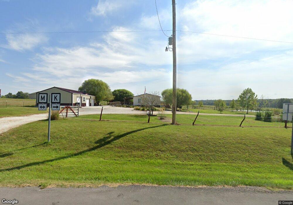
26877 Highway M Middletown, MO 63359
Estimated Value: $250,391 - $662,000
Studio
--
Bath
2,432
Sq Ft
$185/Sq Ft
Est. Value
About This Home
This home is located at 26877 Highway M, Middletown, MO 63359 and is currently estimated at $450,098, approximately $185 per square foot. 26877 Highway M is a home with nearby schools including Bowling Green High School.
Ownership History
Date
Name
Owned For
Owner Type
Purchase Details
Closed on
Jun 8, 2021
Sold by
Yoder Freeman B and Yoder Caroline
Bought by
Fuerst Scott and Rutherford Candice
Current Estimated Value
Home Financials for this Owner
Home Financials are based on the most recent Mortgage that was taken out on this home.
Original Mortgage
$318,500
Outstanding Balance
$285,838
Interest Rate
2.9%
Mortgage Type
Commercial
Estimated Equity
$164,260
Purchase Details
Closed on
Mar 28, 2013
Sold by
Lowell Dean Lowell Dean and Rutherford Peggy Shirlene
Bought by
Rutherford Perry Don and Rutherford Candice Lynn
Create a Home Valuation Report for This Property
The Home Valuation Report is an in-depth analysis detailing your home's value as well as a comparison with similar homes in the area
Purchase History
| Date | Buyer | Sale Price | Title Company |
|---|---|---|---|
| Fuerst Scott | -- | Pacific Coast Title | |
| Rutherford Perry Don | -- | -- |
Source: Public Records
Mortgage History
| Date | Status | Borrower | Loan Amount |
|---|---|---|---|
| Open | Fuerst Scott | $318,500 |
Source: Public Records
Tax History
| Year | Tax Paid | Tax Assessment Tax Assessment Total Assessment is a certain percentage of the fair market value that is determined by local assessors to be the total taxable value of land and additions on the property. | Land | Improvement |
|---|---|---|---|---|
| 2025 | $1,176 | $21,060 | $3,330 | $17,730 |
| 2024 | $1,166 | $21,060 | $3,330 | $17,730 |
| 2023 | $1,166 | $21,060 | $3,330 | $17,730 |
| 2022 | $843 | $15,330 | $1,620 | $13,710 |
| 2021 | $838 | $15,330 | $1,620 | $13,710 |
| 2020 | $842 | $15,330 | $1,620 | $13,710 |
| 2019 | $789 | $14,390 | $1,620 | $12,770 |
| 2018 | $714 | $14,390 | $1,620 | $12,770 |
| 2017 | $707 | $14,350 | $1,620 | $12,730 |
| 2016 | $598 | $12,410 | $1,620 | $10,790 |
| 2015 | -- | $12,130 | $1,620 | $10,510 |
Source: Public Records
Map
Nearby Homes
- 7485 Pike 418
- 0 Pike 409
- 0 Marling Rd
- 0 Central Grove Rd & Marling Rd N Unit MIS25030827
- 0 Bales Rd (26 50+ - Acres)
- 0 Bales Rd (26 5+ - Acres)
- 0 Bales Rd (81 8+ - Acres)
- 0 Bales Rd (81 80+ Ac)
- 0 Bales Rd (55 3+ - Acres)
- TBD Pike 409
- 4710 Pike 451
- 301 Main St
- 103 N Cherry N
- 12838 Pike 403
- 0 Pike 403 Unit MIS24029296
- 0 Louisville Rd
- 16.5 Ac m/l Highway M
- 61.6 Ac m/l Highway M
- 53+/- Acres Louisville Rd
- 1001 S Monroe St
- 26851 Highway M
- 26804 Highway M
- 26765 Highway M
- 26788 Highway M
- 0 Mo-M Unit MAR24026690
- 6957 Highway K
- 0 Pike Co Rd 418 Unit 80011774
- 6812 Highway K
- 0 Hwy M Unit 10037345
- 0 Hwy M Unit 10037339
- 0 Hwy M Unit 10037333
- 0 Hwy M Unit 10037277
- 26545 Highway M
- 26969 Highway K
- 6681 Highway K
- 6605 Highway K
- 0 Highway M
- 25239 Highway M
- 28225 Highway M
- 0188+/-AC Highway M
Your Personal Tour Guide
Ask me questions while you tour the home.