2689 Sutherland Bluff Dr NE Townsend, GA 31331
Estimated Value: $723,279 - $1,157,000
3
Beds
4
Baths
3,099
Sq Ft
$287/Sq Ft
Est. Value
About This Home
This home is located at 2689 Sutherland Bluff Dr NE, Townsend, GA 31331 and is currently estimated at $889,093, approximately $286 per square foot. 2689 Sutherland Bluff Dr NE is a home located in McIntosh County with nearby schools including Todd Grant Elementary School, McIntosh County Middle School, and McIntosh County Academy.
Ownership History
Date
Name
Owned For
Owner Type
Purchase Details
Closed on
May 7, 2009
Sold by
Deloach Linda V
Bought by
Deloach Linda and Deloach Homer M
Current Estimated Value
Home Financials for this Owner
Home Financials are based on the most recent Mortgage that was taken out on this home.
Original Mortgage
$417,000
Outstanding Balance
$264,037
Interest Rate
4.89%
Mortgage Type
New Conventional
Estimated Equity
$625,056
Purchase Details
Closed on
May 31, 2006
Sold by
Deloach Linda V
Bought by
Deloach Jtwros Homer M and Deloach Linda V
Purchase Details
Closed on
Jan 16, 2001
Sold by
O'Brien Juanita T
Bought by
Deloach Homer and Deloach Lind
Create a Home Valuation Report for This Property
The Home Valuation Report is an in-depth analysis detailing your home's value as well as a comparison with similar homes in the area
Home Values in the Area
Average Home Value in this Area
Purchase History
| Date | Buyer | Sale Price | Title Company |
|---|---|---|---|
| Deloach Linda | -- | -- | |
| Deloach Jtwros Homer M | -- | -- | |
| Deloach Homer | $142,000 | -- |
Source: Public Records
Mortgage History
| Date | Status | Borrower | Loan Amount |
|---|---|---|---|
| Open | Deloach Linda | $417,000 |
Source: Public Records
Tax History Compared to Growth
Tax History
| Year | Tax Paid | Tax Assessment Tax Assessment Total Assessment is a certain percentage of the fair market value that is determined by local assessors to be the total taxable value of land and additions on the property. | Land | Improvement |
|---|---|---|---|---|
| 2024 | $2,854 | $293,732 | $30,000 | $263,732 |
| 2023 | $2,696 | $284,264 | $30,000 | $254,264 |
| 2022 | $2,696 | $248,872 | $30,000 | $218,872 |
| 2021 | $5,072 | $190,860 | $30,000 | $160,860 |
| 2020 | $2,348 | $202,808 | $45,000 | $157,808 |
| 2019 | $2,467 | $214,484 | $45,000 | $169,484 |
| 2018 | $4,902 | $184,484 | $45,000 | $139,484 |
| 2017 | $5,522 | $184,484 | $45,000 | $139,484 |
| 2016 | $2,047 | $206,964 | $67,480 | $139,484 |
| 2015 | $2,154 | $187,946 | $45,000 | $142,946 |
| 2014 | $5,070 | $187,946 | $45,000 | $142,946 |
Source: Public Records
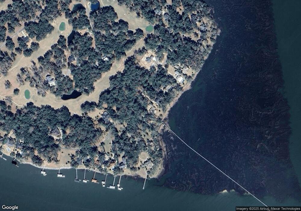
Map
Nearby Homes
- Lot 12, Phase 4 Sutherland Bluff Dr NE
- 826 Bridge Island Dr NE
- Lot 17 Phase II Sutherland Bluff Dr NE
- 2014 Marshview Dr NE
- 2115 Marshview Dr NE
- 2251 Sutherland Bluff Dr NE
- 0 Hidden Lagoon Ln NE Unit .50 AC 10374789
- .50 AC Hidden Lagoon Ln NE
- 1672 Marshview Dr NE
- 9 Sutherland Bluff Dr NE
- Lot 40 PH IV Sutherland Bluff Dr NE
- Lot 15, Phase 5 Sutherland Bluff Dr NE
- Lot 1, Phase 6 Sutherland Bluff Dr NE
- Lot 23 Sutherland Bluff Dr NE
- Lot MDC Marshview Dr
- 1997 Coopers Point Dr NE
- 308 Coopers Point Dr NE
- LOT 1A-13 Coopers Point Dr NE
- Lot 263 Coopers Point Dr NE
- Rd 1 Coopers Point Dr NE
- 2703 Sutherland Bluff Dr NE
- 2797 Sutherland Bluff Dr NE
- 2476 Sutherland Bluff Dr NE
- 2669 Sutherland Bluff Dr NE
- 2613 Sutherland Bluff Dr NE
- 16 Sutherland Bluff Dr
- 2599 Sutherland Bluff Dr NE
- 2599 Sutherland Bluff Dr NE
- 16 Sutherland Bluff Dr NE
- 2744 Sutherland Bluff Dr NE
- 2579 Sutherland Bluff Dr NE
- 2556 Sutherland Bluff Dr NE
- 2783 Sutherland Bluff Dr NE
- 2789 Sutherland Bluff Dr NE
- 1177 Bridge Island Dr NE
- 2793 Sutherland Bluff Dr NE
- 1203 Bridge Island Dr NE
- 2793 Sutherland Bluff Dr NE
- 2793 Sutherland Bluff Dr NE
- 2793 Sutherland Bluff Dr NE