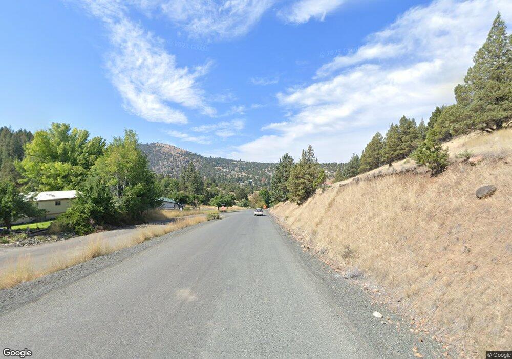
26890 Hwy 395 S Canyon City, OR 97820
Estimated Value: $196,000 - $306,000
--
Bed
--
Bath
1,242
Sq Ft
$199/Sq Ft
Est. Value
About This Home
This home is located at 26890 Hwy 395 S, Canyon City, OR 97820 and is currently estimated at $246,605, approximately $198 per square foot. 26890 Hwy 395 S is a home located in Grant County with nearby schools including Grant Union Junior/Senior High School.
Ownership History
Date
Name
Owned For
Owner Type
Purchase Details
Closed on
Jun 16, 2010
Sold by
Pengelly I Mack
Bought by
Wright Howord and Wright Jeff
Current Estimated Value
Purchase Details
Closed on
May 14, 2008
Sold by
Wright Terry J
Bought by
Wright Howard and Hryner Sidenis
Purchase Details
Closed on
Jul 11, 2005
Sold by
Knowles Dennis B and Knowles Virginia A
Bought by
Wright Howard W and Wright Amelia S
Create a Home Valuation Report for This Property
The Home Valuation Report is an in-depth analysis detailing your home's value as well as a comparison with similar homes in the area
Home Values in the Area
Average Home Value in this Area
Purchase History
| Date | Buyer | Sale Price | Title Company |
|---|---|---|---|
| Wright Howord | -- | None Available | |
| Wright Howard | -- | None Available | |
| Wright Howard W | $90,100 | Land Title Co Of Grant Count |
Source: Public Records
Tax History Compared to Growth
Tax History
| Year | Tax Paid | Tax Assessment Tax Assessment Total Assessment is a certain percentage of the fair market value that is determined by local assessors to be the total taxable value of land and additions on the property. | Land | Improvement |
|---|---|---|---|---|
| 2024 | $2,053 | $157,455 | $40,717 | $116,738 |
| 2023 | $2,014 | $152,869 | $39,532 | $113,337 |
| 2022 | $1,959 | $148,417 | $27,363 | $121,054 |
| 2021 | $1,899 | $144,095 | $26,565 | $117,530 |
| 2020 | $2,020 | $139,899 | $25,797 | $114,102 |
| 2019 | $1,972 | $135,825 | $25,040 | $110,785 |
| 2018 | $1,910 | $131,869 | $24,313 | $107,556 |
| 2017 | $1,845 | $128,029 | $23,605 | $104,424 |
| 2016 | $1,817 | $124,300 | $20,268 | $104,032 |
| 2015 | $1,722 | $117,166 | $19,107 | $98,059 |
| 2014 | $1,722 | $117,166 | $19,107 | $98,059 |
| 2013 | $1,606 | $113,754 | $18,070 | $95,684 |
Source: Public Records
Map
Nearby Homes
- 26531 Nelson Rd
- 26513 Nelson Rd
- 27028 Adam Rd
- 27028 W Izee Rd
- 0 Adam Rd Unit 201410621
- 0 Adam Rd Unit 14393351
- 204 Adam Dr
- 107 Rebel Hill Rd
- 49988 Pine Haven Rd
- 206 S Washington St
- 265 Elk View Dr
- 2700 Elkview Dr
- 216 Elkview Dr
- 324 Edgewood Dr
- 1500 Elk View Dr
- 2709 Elk View Dr
- 328 Edgewood Dr
- 4008 Patterson Dr
- 25920 Hwy 395 S
- 60408 Marysville Ln
- 26888 Hwy 395 S
- 0 NE Adams Dr
- 26598 Hwy 395 S
- 0 Eagle Peak Ln Unit 18376374
- 26507 Nelson Rd
- 26639 Grand View Rd
- 0 S Adam Dr Unit 9901660
- 0 S Adam Dr Unit 201303354
- 0 S Adam Dr Unit 201303352
- 0 S Adam Dr Unit 201303351
- 0 S Adam Dr Unit 22146263
- 0 S Adam Dr Unit 18577367
- 0 S Adam Dr Unit 18349443
- 344 S Humbolt St
- TL 1700 Adams Dr
- 311 S Adams
- 311 Adam Dr
- 340 S Humbolt St
- 0 Adams Dr Unit 2345606
- 0 Adams Dr Unit 9017716
