269 Andrews Ln New Carlisle, OH 45344
Estimated Value: $101,000 - $153,000
2
Beds
1
Bath
1,160
Sq Ft
$113/Sq Ft
Est. Value
About This Home
This home is located at 269 Andrews Ln, New Carlisle, OH 45344 and is currently estimated at $131,288, approximately $113 per square foot. 269 Andrews Ln is a home located in Clark County with nearby schools including Donnelsville Elementary School, Park Layne Elementary School, and New Carlisle Elementary School.
Ownership History
Date
Name
Owned For
Owner Type
Purchase Details
Closed on
Jun 4, 2020
Sold by
Perry Jerry C
Bought by
Yeary Tina L
Current Estimated Value
Purchase Details
Closed on
Dec 14, 2018
Sold by
Macdonald James M
Bought by
Perry Jerry C
Purchase Details
Closed on
Sep 16, 2014
Sold by
Thorne Ardella M
Bought by
Macdonald James M
Purchase Details
Closed on
Oct 1, 1985
Sold by
Johnson Walter and Mae Ardella
Bought by
Johnson Ardella M
Create a Home Valuation Report for This Property
The Home Valuation Report is an in-depth analysis detailing your home's value as well as a comparison with similar homes in the area
Home Values in the Area
Average Home Value in this Area
Purchase History
Date | Buyer | Sale Price | Title Company |
---|---|---|---|
Yeary Tina L | $44,500 | Home Services Title Llc | |
Perry Jerry C | $30,000 | Home Services Title Hold | |
Macdonald James M | $20,000 | None Available | |
Johnson Ardella M | -- | -- |
Source: Public Records
Mortgage History
Date | Status | Borrower | Loan Amount |
---|---|---|---|
Previous Owner | Thorne Ardella M | $25,000 |
Source: Public Records
Tax History Compared to Growth
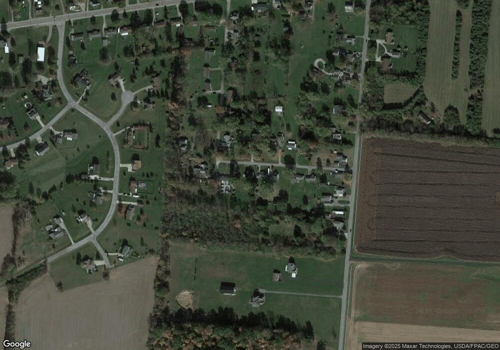
Tax History
Year | Tax Paid | Tax Assessment Tax Assessment Total Assessment is a certain percentage of the fair market value that is determined by local assessors to be the total taxable value of land and additions on the property. | Land | Improvement |
---|---|---|---|---|
2024 | $8,691 | $29,030 | $7,640 | $21,390 |
2023 | $6,607 | $29,030 | $7,640 | $21,390 |
2022 | $9,129 | $29,030 | $7,640 | $21,390 |
2021 | $1,167 | $22,160 | $5,830 | $16,330 |
2020 | $1,170 | $22,160 | $5,830 | $16,330 |
2019 | $1,202 | $22,160 | $5,830 | $16,330 |
2018 | $714 | $21,500 | $5,830 | $15,670 |
2017 | $709 | $21,505 | $5,835 | $15,670 |
2016 | $680 | $21,505 | $5,835 | $15,670 |
2015 | $2,363 | $19,807 | $5,835 | $13,972 |
2014 | $607 | $19,807 | $5,835 | $13,972 |
2013 | $2,400 | $19,807 | $5,835 | $13,972 |
Source: Public Records
Map
Nearby Homes
- 6438 W National Rd
- 6105 New Carlisle Pike
- 20 Snider Rd
- 245 Gordon Rd
- 1439 Folk Ream Rd
- 6056 Dayton Springfield Rd
- 2009 Sundance Dr
- 5583 Peach Blossom Ct
- 125 Countryside Dr
- 1637 Lammes Ln
- 3910 Dayton Springfield Rd
- 3948 W National Rd
- 2170 Ashbrook Dr
- 95 Western Ave
- 503 Candace Dr
- 526 Candace Dr
- 644 Vale Cemetery Rd
- 320 Woodview Dr
- 804 Old Mill Rd