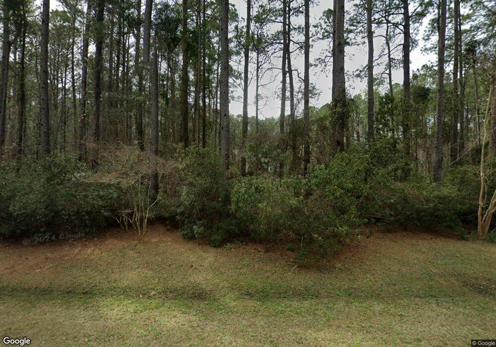
269 Bay Shores Rd Merritt, NC 28556
Estimated Value: $956,471
3
Beds
2
Baths
2,414
Sq Ft
$396/Sq Ft
Est. Value
About This Home
This home is located at 269 Bay Shores Rd, Merritt, NC 28556 and is currently estimated at $956,471, approximately $396 per square foot. 269 Bay Shores Rd is a home with nearby schools including Pamlico County Primary School, Fred A. Anderson Elementary School, and Pamlico County Middle School.
Ownership History
Date
Name
Owned For
Owner Type
Purchase Details
Closed on
Nov 24, 2008
Sold by
Asman William Laws and Asman Roberta Lee Ruff
Bought by
Bright Michael R and Bright Amber R
Current Estimated Value
Purchase Details
Closed on
Feb 11, 2004
Bought by
Taylor Ii Robert G
Purchase Details
Closed on
Oct 15, 1999
Bought by
Scarafoni Asso. Inc
Purchase Details
Closed on
Jan 1, 1995
Bought by
Dunn Raymond E
Create a Home Valuation Report for This Property
The Home Valuation Report is an in-depth analysis detailing your home's value as well as a comparison with similar homes in the area
Home Values in the Area
Average Home Value in this Area
Purchase History
| Date | Buyer | Sale Price | Title Company |
|---|---|---|---|
| Bright Michael R | $445,000 | None Available | |
| Taylor Ii Robert G | $445,000 | -- | |
| Scarafoni Asso. Inc | $445,000 | -- | |
| Dunn Raymond E | $445,000 | -- |
Source: Public Records
Tax History Compared to Growth
Tax History
| Year | Tax Paid | Tax Assessment Tax Assessment Total Assessment is a certain percentage of the fair market value that is determined by local assessors to be the total taxable value of land and additions on the property. | Land | Improvement |
|---|---|---|---|---|
| 2025 | $2,134 | $277,637 | $36,229 | $241,408 |
| 2024 | $2,109 | $277,637 | $36,229 | $241,408 |
| 2023 | $2,077 | $277,637 | $36,229 | $241,408 |
| 2022 | $2,066 | $277,637 | $36,229 | $241,408 |
| 2021 | $1,905 | $277,637 | $36,229 | $241,408 |
| 2020 | $2,093 | $277,637 | $36,229 | $241,408 |
| 2019 | $2,696 | $364,641 | $41,413 | $323,228 |
| 2018 | $2,685 | $0 | $0 | $0 |
| 2017 | $2,506 | $0 | $0 | $0 |
| 2016 | $2,503 | $0 | $0 | $0 |
| 2015 | $2,503 | $364,641 | $41,413 | $323,228 |
| 2014 | $2,503 | $364,641 | $41,413 | $323,228 |
Source: Public Records
Map
Nearby Homes
- 394 Bay Shores
- 430 Bay Shores Rd
- 466 Bay Shores Rd
- 20 Bay Point Rd
- 609 Bell Point Rd
- 153 Oswell Brinson Rd
- 117 Oswell Brinson Rd
- 804 Murphy Farm Rd
- 61 Arant Farm Rd
- 60 Arant Farm Rd
- 880 Arant Farm Rd
- 517 Arant Farm
- 901 Murphy Farm Rd
- 26 Mason Ln
- 87 Mason Ln
- 304 Mason Bay Rd
- 286 Mason Bay
- 278 Mason Bay Rd
- 188 Myrtlewood Ln
- 137 Days Landing Rd
- 627 Bay Shores Rd
- 488 Bay Shores Rd
- 496 Bay Shores Rd
- 448 Bay Shores Rd
- 265 Bay Shores Rd
- 327 Bay Shores Rd
- 265 Bay Shores
- 412 Bay Shores Rd
- 394 Bay Shores Rd
- 4123 Florence Rd
- 484 Bay Shores Rd
- 175 Bay Shores Rd Unit 24
- 175 Bay Shores Rd
- 527 Bay Shores Rd
- 297 Bay Shores Rd
- 10 Bay Point Rd
- 4013 Florence Rd
- 14 Bay Point Rd
- 500 Bayshore Rd
- 9 Bay Point Rd
