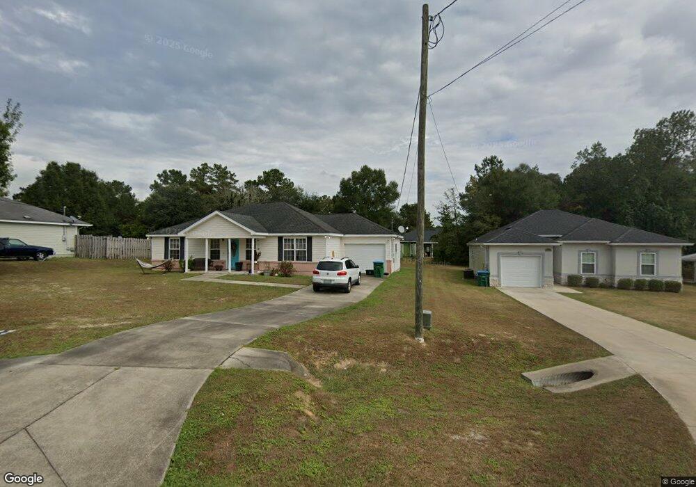
269 Deloris Madison Dr Midway, FL 32343
Estimated Value: $244,000 - $276,000
3
Beds
2
Baths
1,419
Sq Ft
$180/Sq Ft
Est. Value
About This Home
This home is located at 269 Deloris Madison Dr, Midway, FL 32343 and is currently estimated at $254,994, approximately $179 per square foot. 269 Deloris Madison Dr is a home located in Gadsden County.
Ownership History
Date
Name
Owned For
Owner Type
Purchase Details
Closed on
Oct 31, 2008
Sold by
Chief Cornerstone Construction Company I
Bought by
Smith Denise L
Current Estimated Value
Home Financials for this Owner
Home Financials are based on the most recent Mortgage that was taken out on this home.
Original Mortgage
$117,703
Outstanding Balance
$76,109
Interest Rate
5.78%
Mortgage Type
FHA
Estimated Equity
$178,885
Purchase Details
Closed on
Jul 11, 2008
Sold by
G & A Lloyd Llc
Bought by
Chief Cornerstone Construction Co Inc
Create a Home Valuation Report for This Property
The Home Valuation Report is an in-depth analysis detailing your home's value as well as a comparison with similar homes in the area
Home Values in the Area
Average Home Value in this Area
Purchase History
| Date | Buyer | Sale Price | Title Company |
|---|---|---|---|
| Smith Denise L | $155,000 | Attorney | |
| Chief Cornerstone Construction Co Inc | $50,000 | Attorney |
Source: Public Records
Mortgage History
| Date | Status | Borrower | Loan Amount |
|---|---|---|---|
| Open | Smith Denise L | $117,703 |
Source: Public Records
Tax History Compared to Growth
Tax History
| Year | Tax Paid | Tax Assessment Tax Assessment Total Assessment is a certain percentage of the fair market value that is determined by local assessors to be the total taxable value of land and additions on the property. | Land | Improvement |
|---|---|---|---|---|
| 2024 | $1,425 | $118,234 | -- | -- |
| 2023 | $1,379 | $114,791 | $0 | $0 |
| 2022 | $1,319 | $111,448 | $0 | $0 |
| 2021 | $1,287 | $108,202 | $0 | $0 |
| 2020 | $1,256 | $106,709 | $0 | $0 |
| 2019 | $1,234 | $104,310 | $0 | $0 |
| 2018 | $1,231 | $102,365 | $0 | $0 |
| 2017 | $1,193 | $100,260 | $0 | $0 |
| 2016 | $1,168 | $98,198 | $0 | $0 |
| 2015 | $1,157 | $97,515 | $0 | $0 |
| 2014 | $1,125 | $96,741 | $0 | $0 |
Source: Public Records
Map
Nearby Homes
- 34 Frank Run
- 164 Deloris Madison Dr
- 7 Mae Cato Dr
- 65 Deloris Madison Dr
- 920 Rustling Pines Blvd
- 6 Slash Ln
- 17 Pine Bark Ln
- 25 Pine Bark Ln
- 137 Monroe Creek Dr
- 8873 High Bridge Rd
- 8877 High Bridge Rd
- 81 Knight Rd
- 0 Central Rd
- 274 Forest Cir S
- 69 Buckskin Cir
- XX S Lanier Rd
- 325 Mine Rd
- 327 Hayward Dupont St
- 882 Beaver Creek Ln
- 0 Hayward Dupont St Unit 380560
- 255 Deloris Madison Dr Unit 2
- 255 Deloris Madison Dr
- 277 Deloris Madison Dr
- 237 Deloris Madison Dr Unit 2
- 237 Deloris Madison Dr
- 291 Deloris Madison Dr
- 405 Ponderosa Cir
- 431 Ponderosa Cir
- 270 Deloris Madison Dr
- 282 Deloris Madison Dr
- 86 Frank Run
- 223 Deloris Madison Dr
- 305 Deloris Madison Dr
- 439 Ponderosa Cir
- 298 Deloris Madison Dr
- 205 Deloris Madison Dr Unit 1
- 205 Deloris Madison Dr
- 81 Frank Run
- 414 Ponderosa Cir
- 324 Deloris Madison Dr