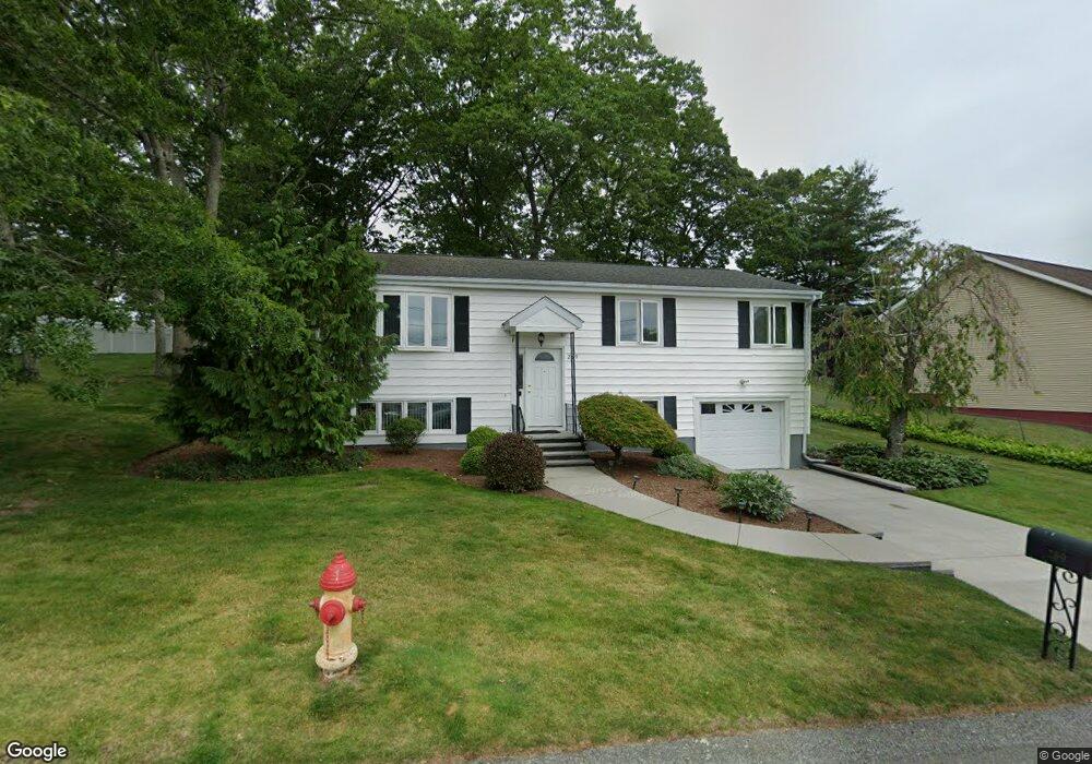
269 Dunbar St Fall River, MA 02723
Bank Street NeighborhoodEstimated Value: $446,000 - $503,000
3
Beds
2
Baths
1,594
Sq Ft
$293/Sq Ft
Est. Value
About This Home
This home is located at 269 Dunbar St, Fall River, MA 02723 and is currently estimated at $467,590, approximately $293 per square foot. 269 Dunbar St is a home located in Bristol County with nearby schools including Mary Fonseca Elementary School, Talbot Innovation School, and B M C Durfee High School.
Ownership History
Date
Name
Owned For
Owner Type
Purchase Details
Closed on
Feb 5, 2016
Sold by
Sahady Jeanette M
Bought by
Jaennette M Sahady T
Current Estimated Value
Purchase Details
Closed on
Jun 15, 1984
Bought by
Sahady Jeannette M
Create a Home Valuation Report for This Property
The Home Valuation Report is an in-depth analysis detailing your home's value as well as a comparison with similar homes in the area
Home Values in the Area
Average Home Value in this Area
Purchase History
| Date | Buyer | Sale Price | Title Company |
|---|---|---|---|
| Jaennette M Sahady T | -- | -- | |
| Sahady Jeannette M | $64,300 | -- |
Source: Public Records
Mortgage History
| Date | Status | Borrower | Loan Amount |
|---|---|---|---|
| Previous Owner | Sahady Jeannette M | $11,500 |
Source: Public Records
Tax History
| Year | Tax Paid | Tax Assessment Tax Assessment Total Assessment is a certain percentage of the fair market value that is determined by local assessors to be the total taxable value of land and additions on the property. | Land | Improvement |
|---|---|---|---|---|
| 2025 | $4,232 | $369,600 | $141,400 | $228,200 |
| 2024 | $3,810 | $331,600 | $136,000 | $195,600 |
| 2023 | $3,827 | $311,900 | $122,100 | $189,800 |
| 2022 | $3,376 | $267,500 | $113,000 | $154,500 |
| 2021 | $3,578 | $258,700 | $106,700 | $152,000 |
| 2020 | $3,501 | $242,300 | $102,700 | $139,600 |
| 2019 | $3,533 | $242,300 | $102,700 | $139,600 |
| 2018 | $3,415 | $233,600 | $102,700 | $130,900 |
| 2017 | $3,255 | $232,500 | $102,700 | $129,800 |
| 2016 | $3,042 | $223,200 | $102,700 | $120,500 |
| 2015 | $2,874 | $219,700 | $96,100 | $123,600 |
| 2014 | $2,764 | $219,700 | $96,100 | $123,600 |
Source: Public Records
Map
Nearby Homes
Your Personal Tour Guide
Ask me questions while you tour the home.