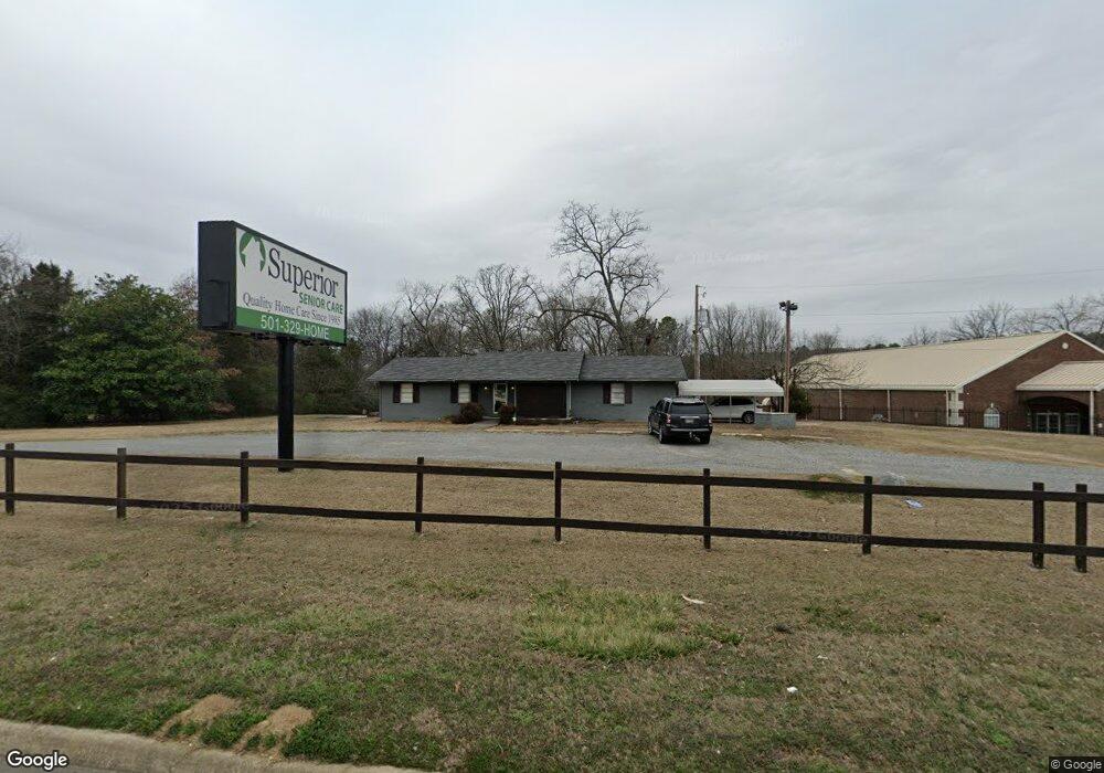
269 Highway 65 N Conway, AR 72032
Estimated Value: $339,614
--
Bed
2
Baths
1,848
Sq Ft
$184/Sq Ft
Est. Value
About This Home
This home is located at 269 Highway 65 N, Conway, AR 72032 and is currently estimated at $339,614, approximately $183 per square foot. 269 Highway 65 N is a home located in Faulkner County with nearby schools including Theodore Jones Elementary School, Conway Junior High School, and Conway High School.
Ownership History
Date
Name
Owned For
Owner Type
Purchase Details
Closed on
Apr 30, 2010
Bought by
Mcghee & Assoc Insurance Agenc
Current Estimated Value
Home Financials for this Owner
Home Financials are based on the most recent Mortgage that was taken out on this home.
Original Mortgage
$215,000
Interest Rate
5.02%
Mortgage Type
Future Advance Clause Open End Mortgage
Purchase Details
Closed on
Nov 13, 2006
Bought by
Mcghee
Purchase Details
Closed on
Apr 13, 2005
Bought by
Mcghee
Purchase Details
Closed on
Apr 11, 2005
Bought by
Mcghee
Create a Home Valuation Report for This Property
The Home Valuation Report is an in-depth analysis detailing your home's value as well as a comparison with similar homes in the area
Home Values in the Area
Average Home Value in this Area
Purchase History
| Date | Buyer | Sale Price | Title Company |
|---|---|---|---|
| Mcghee & Assoc Insurance Agenc | $190,000 | -- | |
| Mcghee And Associates Agency | $313,500 | -- | |
| Mcghee | $150,000 | -- | |
| Mcghee | $150,000 | -- | |
| Mcghee | $150,000 | -- |
Source: Public Records
Mortgage History
| Date | Status | Borrower | Loan Amount |
|---|---|---|---|
| Closed | Mcghee And Associates Agency | $215,000 |
Source: Public Records
Tax History Compared to Growth
Tax History
| Year | Tax Paid | Tax Assessment Tax Assessment Total Assessment is a certain percentage of the fair market value that is determined by local assessors to be the total taxable value of land and additions on the property. | Land | Improvement |
|---|---|---|---|---|
| 2025 | $2,129 | $57,659 | $34,848 | $22,811 |
| 2024 | $1,952 | $45,940 | $34,850 | $11,090 |
| 2023 | $1,775 | $38,250 | $13,070 | $25,180 |
| 2022 | $1,831 | $38,250 | $13,070 | $25,180 |
| 2021 | $1,654 | $38,250 | $13,070 | $25,180 |
| 2020 | $1,517 | $29,470 | $13,070 | $16,400 |
| 2019 | $1,494 | $29,470 | $13,070 | $16,400 |
| 2018 | $1,398 | $29,470 | $13,070 | $16,400 |
| 2017 | $1,302 | $29,470 | $13,070 | $16,400 |
| 2016 | $1,206 | $22,750 | $13,070 | $9,680 |
| 2015 | $896 | $27,760 | $13,070 | $14,690 |
| 2014 | $1,046 | $27,760 | $13,070 | $14,690 |
Source: Public Records
Map
Nearby Homes
- 3030 Plateau Dr
- 6 Cedar Hill Rd
- 1250 Edge Valley Dr N
- 2800 Plateau Dr
- 1230 Littlewood Cove
- 23 Gapview Rd
- 13 Oak Leaf Dr
- 15 Oak Leaf Dr
- 1200 Mae Ln
- 0 Victory Ln
- 2240 Eldridge Ln
- 1950 Shadow Falls Dr
- 2225 Eldridge Ln
- 2080 Mary Alice Dr
- 0 Blake Ln
- 2020 Mary Alice Dr
- 3610 Breezy Cir
- 1220 Bulldog Dr
- 3655 Campfire Cove
- 24 Blue Jay Way
- 275 Highway 65 N
- 3020 Plateau Dr
- 3010 Plateau Dr
- 3110 Plateau Dr
- 3000 Plateau Dr
- 3120 Plateau Dr
- 7 Lancaster Ln
- 276 Highway 65 N
- 2940 Plateau Dr
- 3 Lancaster Ln
- 0 Plateau Dr Unit 15017115
- 0 Plateau Dr Unit 15029708
- 0 Plateau Dr Unit 15033237
- 0 Plateau Dr Unit 16003572
- 0 Plateau Dr Unit 16025200
- 0 Plateau Dr Unit 16015717
- 0 Plateau Dr Unit 16030587
- 0 Plateau Dr Unit 16018023
- 0 Plateau Dr Unit 16021931
- 0 Plateau Dr Unit 16025725