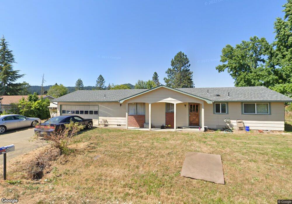
269 Johnson St Sutherlin, OR 97479
Estimated Value: $259,000 - $303,162
3
Beds
2
Baths
1,326
Sq Ft
$213/Sq Ft
Est. Value
About This Home
This home is located at 269 Johnson St, Sutherlin, OR 97479 and is currently estimated at $282,041, approximately $212 per square foot. 269 Johnson St is a home located in Douglas County with nearby schools including East Sutherlin Primary School, West Sutherlin Intermediate School, and Sutherlin Middle School.
Ownership History
Date
Name
Owned For
Owner Type
Purchase Details
Closed on
Dec 30, 2008
Sold by
Wylie Eugene E
Bought by
Kuntz Rodney A
Current Estimated Value
Home Financials for this Owner
Home Financials are based on the most recent Mortgage that was taken out on this home.
Original Mortgage
$150,000
Outstanding Balance
$98,220
Interest Rate
6.03%
Mortgage Type
Purchase Money Mortgage
Estimated Equity
$183,821
Purchase Details
Closed on
Aug 21, 2008
Sold by
Va
Bought by
Wylie Eugene E
Purchase Details
Closed on
Jan 18, 2008
Sold by
Chase Home Finance Llc
Bought by
Va
Create a Home Valuation Report for This Property
The Home Valuation Report is an in-depth analysis detailing your home's value as well as a comparison with similar homes in the area
Home Values in the Area
Average Home Value in this Area
Purchase History
| Date | Buyer | Sale Price | Title Company |
|---|---|---|---|
| Kuntz Rodney A | $140,000 | Western Title & Escrow | |
| Wylie Eugene E | $110,000 | Fidelity Natl Title Co Of Or | |
| Va | $119,998 | First American Title Ins Co | |
| Chase Home Finance Llc | $119,998 | First American Title Ins Co |
Source: Public Records
Mortgage History
| Date | Status | Borrower | Loan Amount |
|---|---|---|---|
| Open | Kuntz Rodney A | $150,000 |
Source: Public Records
Tax History
| Year | Tax Paid | Tax Assessment Tax Assessment Total Assessment is a certain percentage of the fair market value that is determined by local assessors to be the total taxable value of land and additions on the property. | Land | Improvement |
|---|---|---|---|---|
| 2025 | $2,144 | $173,157 | -- | -- |
| 2024 | $2,096 | $168,114 | -- | -- |
| 2023 | $2,036 | $163,218 | $0 | $0 |
| 2022 | $1,978 | $158,465 | $0 | $0 |
| 2021 | $1,921 | $153,850 | $0 | $0 |
| 2020 | $1,865 | $149,369 | $0 | $0 |
| 2019 | $1,811 | $145,019 | $0 | $0 |
| 2018 | $1,758 | $140,796 | $0 | $0 |
| 2017 | $1,797 | $136,696 | $0 | $0 |
| 2016 | $1,745 | $132,715 | $0 | $0 |
| 2015 | $1,699 | $128,850 | $0 | $0 |
| 2014 | $1,649 | $125,098 | $0 | $0 |
| 2013 | -- | $121,455 | $0 | $0 |
Source: Public Records
Map
Nearby Homes
- 375 Johnson St
- 1321 Sunset Ln
- 142 S Comstock Ave
- 165 Robinson St
- 162 Kruse St
- 1386 Airway Ave
- 176 Allison Ave
- 181 SW Hutchins St
- 1688 W Central Ave
- 376 Bentgrass Ct
- 324 Dakota St
- 530 Tanglewood St
- 1909 W Duke Rd
- 575 Cedar St
- 607 Wildcat Canyon Rd
- 483 S State St
- 1716 Scardi Blvd Unit 174
- 189 Raintree Ave
- 1878 Trails End Ln
- 180 E Second Ave
Your Personal Tour Guide
Ask me questions while you tour the home.