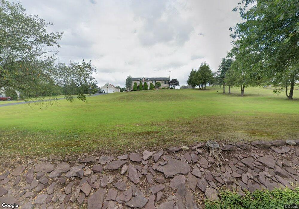
269 Millers Rd Zion Grove, PA 17985
Estimated Value: $299,000 - $325,000
3
Beds
2
Baths
1,778
Sq Ft
$177/Sq Ft
Est. Value
About This Home
This home is located at 269 Millers Rd, Zion Grove, PA 17985 and is currently estimated at $315,184, approximately $177 per square foot. 269 Millers Rd is a home located in Schuylkill County with nearby schools including Hazleton Area High School.
Ownership History
Date
Name
Owned For
Owner Type
Purchase Details
Closed on
Jun 15, 2018
Sold by
Milazzo Ronald C and Milazzo Natasha A
Bought by
Schlauch Richard W and Schlauch Gloria J
Current Estimated Value
Home Financials for this Owner
Home Financials are based on the most recent Mortgage that was taken out on this home.
Original Mortgage
$118,000
Outstanding Balance
$70,764
Interest Rate
4.5%
Mortgage Type
New Conventional
Estimated Equity
$244,420
Create a Home Valuation Report for This Property
The Home Valuation Report is an in-depth analysis detailing your home's value as well as a comparison with similar homes in the area
Home Values in the Area
Average Home Value in this Area
Purchase History
| Date | Buyer | Sale Price | Title Company |
|---|---|---|---|
| Schlauch Richard W | $169,000 | Schuylkill Abstract Co Inc |
Source: Public Records
Mortgage History
| Date | Status | Borrower | Loan Amount |
|---|---|---|---|
| Open | Schlauch Richard W | $118,000 |
Source: Public Records
Tax History Compared to Growth
Tax History
| Year | Tax Paid | Tax Assessment Tax Assessment Total Assessment is a certain percentage of the fair market value that is determined by local assessors to be the total taxable value of land and additions on the property. | Land | Improvement |
|---|---|---|---|---|
| 2025 | $3,474 | $55,155 | $8,375 | $46,780 |
| 2024 | $3,197 | $55,155 | $8,375 | $46,780 |
| 2023 | $3,133 | $55,155 | $8,375 | $46,780 |
| 2022 | $3,194 | $55,155 | $8,375 | $46,780 |
| 2021 | $3,053 | $55,155 | $8,375 | $46,780 |
| 2020 | $2,879 | $52,350 | $8,375 | $43,975 |
| 2018 | $2,941 | $52,350 | $8,375 | $43,975 |
| 2017 | $2,868 | $52,350 | $8,375 | $43,975 |
| 2015 | -- | $52,350 | $8,375 | $43,975 |
| 2011 | -- | $52,350 | $0 | $0 |
Source: Public Records
Map
Nearby Homes
- 580 Chamonix Ln
- 556-557 Hay Stack Dr
- 447-448 Hay Stack Dr
- 130 Spring Mountain Dr
- 123 Spring Mountain Dr
- 117 Spring Mountain Dr
- 116 Spring Mountain Dr
- 124 Spring Mountain Dr
- 262 Madonna Ln
- 427 Camel Back Ln
- 271 Camelback Ln
- HF4.214 Green Ash Ln
- 357 White Face Cir
- 374 Davos Cir
- 2 Princess Dr
- 801 Main St
- 223 Mahanoy St
- 50 Alpine Dr
- 49 Alpine Dr
- 263 Millers Rd
- 273 Millers Rd
- 257 Millers Rd
- 253 Millers Rd
- 277 Millers Rd
- 281 Millers Rd
- 10 Croll Rd
- 0 Millers Rd Unit 1001242681
- 0 Millers Rd Unit 1001242539
- 0 Millers Rd
- 0 Millers Rd Unit 23-2117
- 0 Millers Rd Unit 22-2162
- 305 Millers Rd
- 11 Croll Rd
- 93 Croll Rd
- 15 Croll Rd
- 327 Millers Rd
- 65 Croll Rd
- 343 Millers Rd
- 344 Millers Rd