Estimated Value: $310,930 - $362,000
4
Beds
3
Baths
2,280
Sq Ft
$149/Sq Ft
Est. Value
About This Home
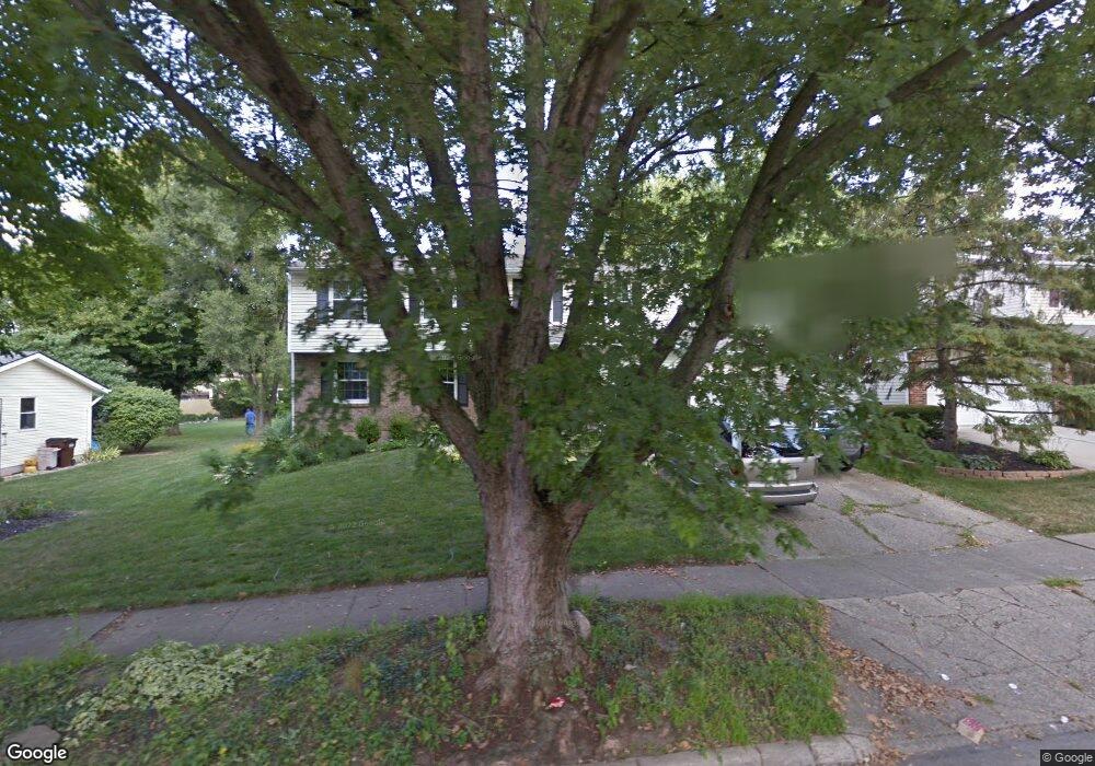
This home is located at 269 N King St, Xenia, OH 45385 and is currently estimated at $339,733, approximately $149 per square foot. 269 N King St is a home located in Greene County with nearby schools including Xenia High School, Summit Academy Community School for Alternative Learners - Xenia, and Legacy Christian Academy.
Ownership History
Date
Name
Owned For
Owner Type
Purchase Details
Closed on
Jul 10, 2014
Sold by
Piotrowski Deborah A
Bought by
Anderson Michael E and Anderson Lisa B
Current Estimated Value
Home Financials for this Owner
Home Financials are based on the most recent Mortgage that was taken out on this home.
Original Mortgage
$136,000
Outstanding Balance
$103,747
Interest Rate
4.2%
Mortgage Type
Adjustable Rate Mortgage/ARM
Estimated Equity
$235,986
Purchase Details
Closed on
Jan 5, 2006
Sold by
Mcquown Matthew Dow
Bought by
Mcquown Caroline Lee
Purchase Details
Closed on
Dec 28, 2005
Sold by
Smith Cora Kathleen
Bought by
Mcquown Caroline Lee
Purchase Details
Closed on
Oct 13, 2005
Sold by
Mcquown Barbara
Bought by
Mcquown Caroline Lee
Purchase Details
Closed on
Jan 5, 2005
Sold by
Matthews Tamera Lee
Bought by
Mcquown Caroline Lee
Create a Home Valuation Report for This Property
The Home Valuation Report is an in-depth analysis detailing your home's value as well as a comparison with similar homes in the area
Home Values in the Area
Average Home Value in this Area
Purchase History
| Date | Buyer | Sale Price | Title Company |
|---|---|---|---|
| Anderson Michael E | $170,000 | None Available | |
| Mcquown Caroline Lee | -- | None Available | |
| Mcquown Caroline Lee | -- | None Available | |
| Mcquown Caroline Lee | -- | -- | |
| Mcquown Caroline Lee | -- | None Available |
Source: Public Records
Mortgage History
| Date | Status | Borrower | Loan Amount |
|---|---|---|---|
| Open | Anderson Michael E | $136,000 |
Source: Public Records
Tax History Compared to Growth
Tax History
| Year | Tax Paid | Tax Assessment Tax Assessment Total Assessment is a certain percentage of the fair market value that is determined by local assessors to be the total taxable value of land and additions on the property. | Land | Improvement |
|---|---|---|---|---|
| 2024 | $3,689 | $88,480 | $9,470 | $79,010 |
| 2023 | $3,689 | $88,480 | $9,470 | $79,010 |
| 2022 | $3,158 | $64,570 | $5,920 | $58,650 |
| 2021 | $3,201 | $64,570 | $5,920 | $58,650 |
| 2020 | $3,063 | $64,570 | $5,920 | $58,650 |
| 2019 | $2,891 | $57,370 | $6,050 | $51,320 |
| 2018 | $2,903 | $57,370 | $6,050 | $51,320 |
| 2017 | $2,956 | $57,370 | $6,050 | $51,320 |
| 2016 | $2,956 | $57,370 | $6,050 | $51,320 |
| 2015 | $2,367 | $45,800 | $5,260 | $40,540 |
| 2014 | $2,328 | $45,800 | $5,260 | $40,540 |
Source: Public Records
Map
Nearby Homes
- 279 N King St
- 253 N King St
- 245 N King St
- 301 N King St
- 260 N Detroit St Unit Upper
- 260 N Detroit St
- 280 N Detroit St
- 276 N King St
- 252 N King St
- 323 N King St
- 280 N Detroit St
- 262 N King St
- 300 N King St
- 298 N Detroit St
- 20 King Ave
- 228 N King St
- 343 N King St
- 330 Detroit Blvd
- 330 N Detroit St
- 328 N King St