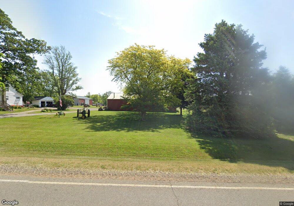
269 N Matteson Lake Rd Bronson, MI 49028
Estimated Value: $235,737 - $404,000
--
Bed
--
Bath
--
Sq Ft
5
Acres
About This Home
This home is located at 269 N Matteson Lake Rd, Bronson, MI 49028 and is currently estimated at $309,184. 269 N Matteson Lake Rd is a home located in Branch County with nearby schools including Anderson Elementary School, Ryan Elementary School, and Bronson Junior/Senior High School.
Ownership History
Date
Name
Owned For
Owner Type
Purchase Details
Closed on
Apr 28, 2011
Sold by
Teadt Rodney A and Teadt Shannon I
Bought by
Teadt Rodney A and Teadt Shannon I
Current Estimated Value
Home Financials for this Owner
Home Financials are based on the most recent Mortgage that was taken out on this home.
Original Mortgage
$149,000
Outstanding Balance
$103,022
Interest Rate
4.77%
Mortgage Type
New Conventional
Estimated Equity
$206,162
Purchase Details
Closed on
Sep 12, 2006
Sold by
Runnfeldt Mona N
Bought by
Teadt Rodney A and Heath Shannon I
Home Financials for this Owner
Home Financials are based on the most recent Mortgage that was taken out on this home.
Original Mortgage
$154,400
Interest Rate
6.58%
Mortgage Type
Purchase Money Mortgage
Purchase Details
Closed on
Mar 25, 1996
Create a Home Valuation Report for This Property
The Home Valuation Report is an in-depth analysis detailing your home's value as well as a comparison with similar homes in the area
Home Values in the Area
Average Home Value in this Area
Purchase History
| Date | Buyer | Sale Price | Title Company |
|---|---|---|---|
| Teadt Rodney A | -- | Branch County Abstract & Tit | |
| Teadt Rodney A | $154,400 | None Available | |
| -- | $88,000 | -- |
Source: Public Records
Mortgage History
| Date | Status | Borrower | Loan Amount |
|---|---|---|---|
| Open | Teadt Rodney A | $149,000 | |
| Closed | Teadt Rodney A | $154,400 |
Source: Public Records
Tax History Compared to Growth
Tax History
| Year | Tax Paid | Tax Assessment Tax Assessment Total Assessment is a certain percentage of the fair market value that is determined by local assessors to be the total taxable value of land and additions on the property. | Land | Improvement |
|---|---|---|---|---|
| 2025 | $1,935 | $101,300 | $0 | $0 |
| 2024 | $699 | $103,400 | $0 | $0 |
| 2023 | $699 | $100,400 | $0 | $0 |
| 2022 | $699 | $101,200 | $0 | $0 |
| 2021 | -- | $98,100 | $0 | $0 |
| 2020 | -- | $82,900 | $0 | $0 |
| 2019 | -- | $73,400 | $0 | $0 |
| 2018 | -- | $69,900 | $0 | $0 |
| 2017 | -- | $69,900 | $0 | $0 |
| 2016 | -- | $71,927 | $0 | $0 |
| 2015 | -- | $57,240 | $0 | $0 |
| 2014 | -- | $56,852 | $0 | $0 |
| 2013 | -- | $58,567 | $0 | $0 |
Source: Public Records
Map
Nearby Homes
- 786 W Colon Rd
- 130 Osborn Rd
- 912 W Colon Rd
- 609 E Railroad St
- 325 N Lincoln St
- 337 N Walker St
- 313 N Matteson St
- 150 Washington St
- 410 Franklin St
- 147 Winona St
- 695 W Chicago Rd
- 544 E Chicago St
- 214 E Chicago St
- 151 E Corey St
- 555 Claar Rd
- 322 W Chicago Rd
- V/L Prairie River Rd
- 317 W Colon Rd
- 316 Kane Rd
- 299 Bater Rd
- 273 N Matteson Lake Rd
- 263 N Matteson Lake Rd
- 275 N Matteson Lake Rd
- 259 N Matteson Lake Rd
- 276 N Matteson Lake Rd
- 277 N Matteson Lake Rd
- 280 N Matteson Lake Rd
- 255 N Matteson Lake Rd
- 385 N Matteson Lake Rd
- 0 N Matteson Lake Rd
- 128 N Matteson Lake Rd
- 285 N Matteson Lake Rd
- 249 N Matteson Lake Rd
- 248 N Matteson Lake Rd
- 247 N Matteson Lake Rd
- 291 N Matteson Lake Rd
- 811 Kinter Rd
- 791 Kinter Rd
- 299 N Matteson Lake Rd
- 779 Kinter Rd