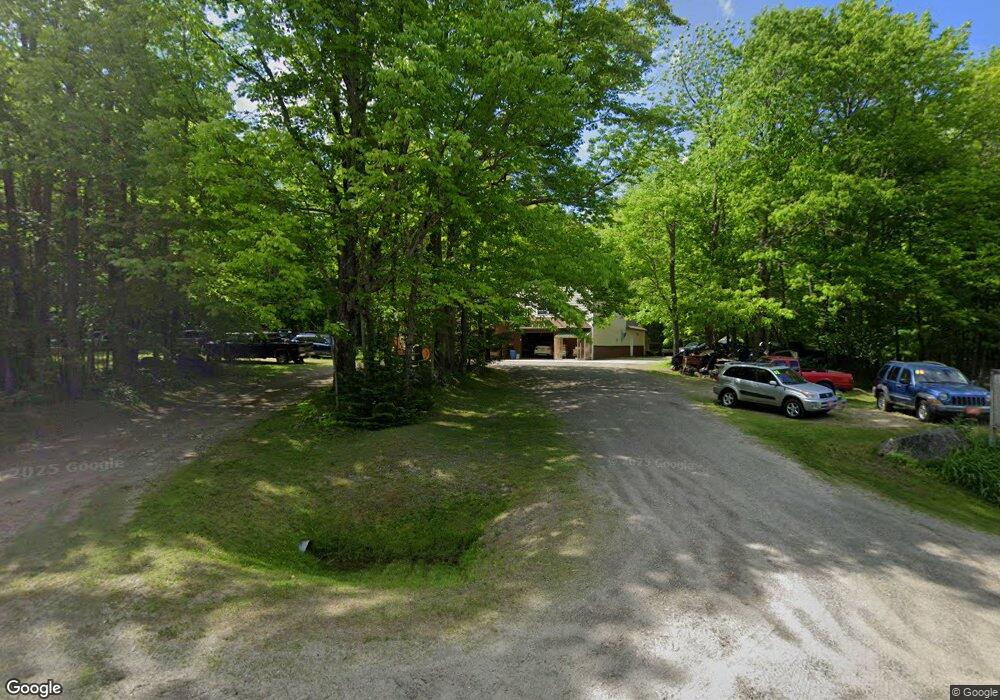
269 Pond Rd West Gardiner, ME 04345
Estimated Value: $296,965 - $471,000
5
Beds
2
Baths
2,200
Sq Ft
$183/Sq Ft
Est. Value
About This Home
This home is located at 269 Pond Rd, West Gardiner, ME 04345 and is currently estimated at $402,491, approximately $182 per square foot. 269 Pond Rd is a home located in Kennebec County with nearby schools including Gardiner Area High School.
Ownership History
Date
Name
Owned For
Owner Type
Purchase Details
Closed on
Jan 9, 2025
Sold by
Bourque Richard C
Bought by
Bourque Kim E and Bourque Richard C
Current Estimated Value
Purchase Details
Closed on
Apr 10, 2015
Sold by
Mason Nicole L
Bought by
Bourque Richard C and Bourque Kim E
Purchase Details
Closed on
Jul 2, 2010
Sold by
Newton Thomas L and Newton Suzanne J
Bought by
Central Maine Power Co
Purchase Details
Closed on
Mar 12, 2010
Sold by
Nicholas Richard
Bought by
Renaas Sheila M
Purchase Details
Closed on
Dec 24, 2009
Sold by
Wentworth Vera L
Bought by
Central Maine Power Co
Purchase Details
Closed on
Jul 8, 2009
Sold by
Denis Victor and Denis Reinak
Bought by
Central Maine Power Co
Purchase Details
Closed on
May 26, 2009
Sold by
Jungels Anne C
Bought by
Central Maine Power Co
Purchase Details
Closed on
Sep 16, 2008
Sold by
Spear Tammy L
Bought by
Central Maine Power Co
Purchase Details
Closed on
Sep 3, 2008
Sold by
Cotta Janet A and Cotta Frederick A
Bought by
Central Maine Power Co
Purchase Details
Closed on
May 22, 2008
Sold by
Spencer Robin G
Bought by
Central Maine Power Co
Create a Home Valuation Report for This Property
The Home Valuation Report is an in-depth analysis detailing your home's value as well as a comparison with similar homes in the area
Home Values in the Area
Average Home Value in this Area
Purchase History
| Date | Buyer | Sale Price | Title Company |
|---|---|---|---|
| Bourque Kim E | -- | None Available | |
| Bourque Kim E | -- | None Available | |
| Bourque Richard C | -- | -- | |
| Bourque Richard C | -- | -- | |
| Central Maine Power Co | -- | -- | |
| Renaas Sheila M | -- | -- | |
| Central Maine Power Co | -- | -- | |
| Central Maine Power Co | -- | -- | |
| Central Maine Power Co | -- | -- | |
| Central Maine Power Co | -- | -- | |
| Central Maine Power Co | -- | -- | |
| Central Maine Power Co | -- | -- | |
| Bourque Richard C | -- | -- | |
| Central Maine Power Co | -- | -- | |
| Central Maine Power Co | -- | -- | |
| Central Maine Power Co | -- | -- | |
| Central Maine Power Co | -- | -- | |
| Central Maine Power Co | -- | -- | |
| Central Maine Power Co | -- | -- | |
| Central Maine Power Co | -- | -- |
Source: Public Records
Tax History Compared to Growth
Tax History
| Year | Tax Paid | Tax Assessment Tax Assessment Total Assessment is a certain percentage of the fair market value that is determined by local assessors to be the total taxable value of land and additions on the property. | Land | Improvement |
|---|---|---|---|---|
| 2024 | $2,015 | $253,500 | $47,500 | $206,000 |
| 2023 | $1,685 | $208,000 | $40,000 | $168,000 |
| 2022 | $1,502 | $181,000 | $40,000 | $141,000 |
| 2021 | $1,568 | $165,000 | $40,000 | $125,000 |
| 2020 | $1,680 | $150,000 | $40,000 | $110,000 |
| 2019 | $1,668 | $145,000 | $40,000 | $105,000 |
| 2018 | $1,726 | $145,000 | $40,000 | $105,000 |
| 2017 | $1,784 | $145,000 | $40,000 | $105,000 |
| 2016 | $1,740 | $145,000 | $40,000 | $105,000 |
| 2013 | $1,145 | $105,000 | $40,000 | $65,000 |
Source: Public Records
Map
Nearby Homes
- TBD LOT 2 Neck Rd
- 0 W Rockwood
- 121 Wentworth Cove
- 102 Manning Dr
- 208 Benson Rd
- 201 Benson Rd
- 240 Benson Rd
- 2 Woods Rd
- M3 L9 Winthrop Center Rd
- 1103 Route 135
- 151 Johnson Ln
- TBD 1st St
- 305 Peacepipe Dr
- 13 Cove Dr
- 83 Hoyt Dr
- 496 Litchfield Rd
- Map7Lot2B Caldwell Rd
- Map7Lot2A Caldwell Rd
- 47 Adams Ln
- Lot 0 High St