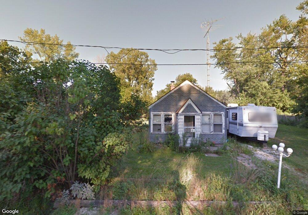
269 Roberta Dr Curtice, OH 43412
Estimated Value: $197,000
2
Beds
1
Bath
640
Sq Ft
$308/Sq Ft
Est. Value
About This Home
This home is located at 269 Roberta Dr, Curtice, OH 43412 and is currently priced at $197,000, approximately $307 per square foot. 269 Roberta Dr is a home located in Lucas County.
Ownership History
Date
Name
Owned For
Owner Type
Purchase Details
Closed on
Oct 25, 2023
Sold by
Jerusalem Township Trustees and Jerusalem Township Board Of Trustees
Bought by
Maville Robert and Maville Angela
Current Estimated Value
Purchase Details
Closed on
Jan 19, 2023
Sold by
Lucas Cnty Land Reutilization
Bought by
Jerusalem Township Truste
Purchase Details
Closed on
Apr 5, 2022
Sold by
Brining Angelica
Bought by
Lucas County Land Reutilization Corporation
Purchase Details
Closed on
Aug 22, 1991
Sold by
Brining Mary A
Create a Home Valuation Report for This Property
The Home Valuation Report is an in-depth analysis detailing your home's value as well as a comparison with similar homes in the area
Purchase History
| Date | Buyer | Sale Price | Title Company |
|---|---|---|---|
| Maville Robert | -- | None Listed On Document | |
| Jerusalem Township Truste | -- | None Listed On Document | |
| Lucas County Land Reutilization Corporation | -- | -- | |
| -- | -- | -- |
Source: Public Records
Tax History
| Year | Tax Paid | Tax Assessment Tax Assessment Total Assessment is a certain percentage of the fair market value that is determined by local assessors to be the total taxable value of land and additions on the property. | Land | Improvement |
|---|---|---|---|---|
| 2025 | -- | $6,650 | $6,650 | -- |
| 2024 | $46 | $6,650 | $6,650 | -- |
| 2023 | $654 | $6,685 | $6,685 | $0 |
| 2022 | $687 | $6,685 | $6,685 | $0 |
| 2021 | $1,022 | $11,095 | $6,685 | $4,410 |
| 2020 | $1,082 | $9,170 | $5,495 | $3,675 |
| 2019 | $740 | $9,170 | $5,495 | $3,675 |
| 2018 | $8,434 | $9,170 | $5,495 | $3,675 |
| 2017 | $7,683 | $7,770 | $4,655 | $3,115 |
| 2016 | $5,700 | $22,200 | $13,300 | $8,900 |
| 2015 | $1,106 | $22,200 | $13,300 | $8,900 |
| 2014 | $774 | $7,780 | $4,660 | $3,120 |
| 2013 | $516 | $7,780 | $4,660 | $3,120 |
Source: Public Records
Map
Nearby Homes
- 12369 Lagoon Dr
- 12504 La Fontaine Dr
- 645 Clubhouse Rd
- 549 Beachview Rd
- 7105 N Elliston Trowbridge Rd
- 9015 Seaman Rd
- 8246 Cedar Point Rd
- 1031 N Cousino Rd
- 21224 W Toledo St
- 7330 Jerusalem Rd
- 6927 N Wildacre Rd
- 7105 N Curtice St
- 22771 W Toledo St
- 23284 W State Route 579
- 9881 W Locust Point Rd
- 5914 Kacy Ln
- 5882 Kacy Ln
- 6028 Bayshore Rd
- 455 Cody
- 454 Cody Dr
Your Personal Tour Guide
Ask me questions while you tour the home.