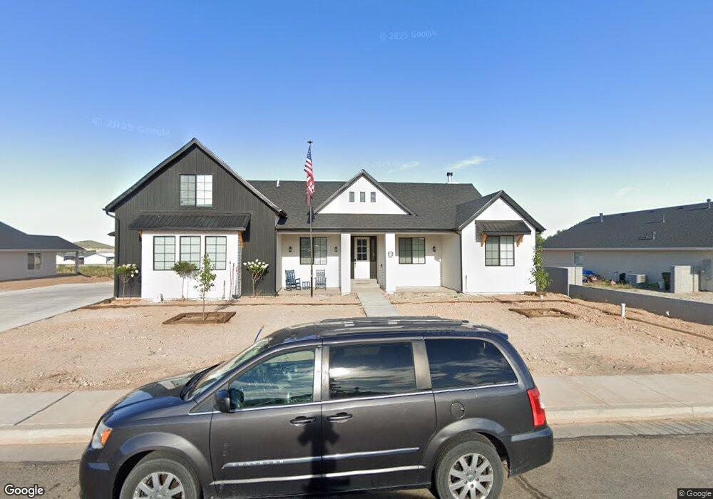
269 S 1375 Parowan, UT 84761
Estimated Value: $450,000 - $876,000
--
Bed
--
Bath
--
Sq Ft
0.44
Acres
About This Home
This home is located at 269 S 1375, Parowan, UT 84761 and is currently estimated at $619,326. 269 S 1375 is a home located in Iron County with nearby schools including Parowan School, Parowan High School, and Cedar City High School.
Ownership History
Date
Name
Owned For
Owner Type
Purchase Details
Closed on
Oct 21, 2022
Sold by
Selby John G
Bought by
Place Paul A and Place Mariea D
Current Estimated Value
Purchase Details
Closed on
Jul 28, 2009
Sold by
Place Paul A and Selby John
Bought by
Place Paul A and Place Mariea D
Purchase Details
Closed on
Mar 31, 2007
Sold by
Selby Annick
Bought by
Selby John G
Purchase Details
Closed on
Oct 31, 2005
Sold by
Smith James Lavae and James Lavae Smith Family Trust
Bought by
Place Paul A and Selby John G
Create a Home Valuation Report for This Property
The Home Valuation Report is an in-depth analysis detailing your home's value as well as a comparison with similar homes in the area
Home Values in the Area
Average Home Value in this Area
Purchase History
| Date | Buyer | Sale Price | Title Company |
|---|---|---|---|
| Place Paul A | -- | Inwest Title | |
| Place Paul A | -- | -- | |
| Selby John G | -- | -- | |
| Place Paul A | -- | -- |
Source: Public Records
Tax History Compared to Growth
Tax History
| Year | Tax Paid | Tax Assessment Tax Assessment Total Assessment is a certain percentage of the fair market value that is determined by local assessors to be the total taxable value of land and additions on the property. | Land | Improvement |
|---|---|---|---|---|
| 2025 | $2,738 | $339,772 | $45,545 | $294,227 |
| 2023 | $667 | $82,805 | $82,805 | $0 |
| 2022 | $721 | $75,275 | $75,275 | $0 |
| 2021 | $360 | $37,635 | $37,635 | $0 |
| 2020 | $350 | $32,315 | $32,315 | $0 |
| 2019 | $367 | $32,315 | $32,315 | $0 |
| 2018 | $326 | $28,100 | $28,100 | $0 |
| 2017 | $306 | $25,755 | $25,755 | $0 |
| 2016 | $324 | $25,755 | $25,755 | $0 |
| 2015 | $326 | $24,535 | $0 | $0 |
| 2014 | $409 | $29,315 | $0 | $0 |
Source: Public Records
Map
Nearby Homes
- 403 & 404 Kari
- 1435 W 200 S Unit 315
- 1112 W 275 S
- 257 S 1175 W
- 1144 375 South St
- 0 W Old Highway 91 Unit 24-253616
- 0 W Old Highway 91 Unit 108031
- 680 S Heritage Hills Dr
- 701 S Heritage Hills Dr
- 1025 W Old Highway 91
- 114 N 850 W
- 273 700 W
- 1521 W 950 S
- 6 Acres Commercial Land
- 755 W 130 N
- 0 Lot 2 Blk 8 Plat C Unit 108795
- 6.81 ACFT Water Right: 75-251 Unit 1915 Priority