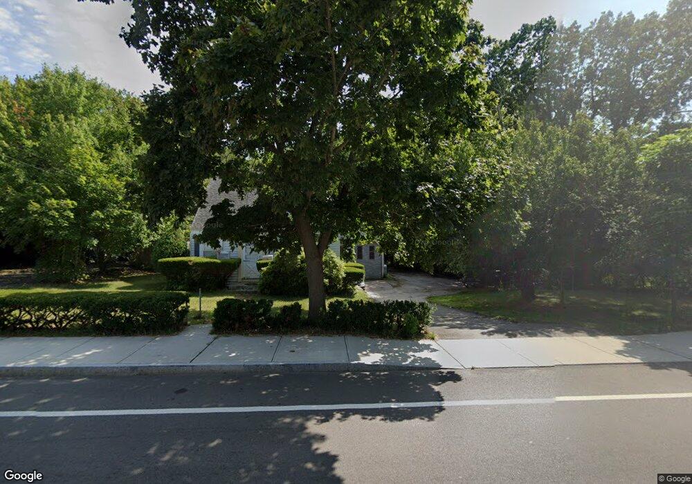
269 Union St Holbrook, MA 02343
Estimated Value: $525,465 - $613,000
3
Beds
2
Baths
1,713
Sq Ft
$337/Sq Ft
Est. Value
About This Home
This home is located at 269 Union St, Holbrook, MA 02343 and is currently estimated at $577,616, approximately $337 per square foot. 269 Union St is a home located in Norfolk County with nearby schools including John F. Kennedy Elementary School, Holbrook Middle High School, and Boston Higashi School.
Ownership History
Date
Name
Owned For
Owner Type
Purchase Details
Closed on
Jun 19, 2020
Sold by
Pritchard Herbert C Est and Pritchard
Bought by
Pritchard Robert C
Current Estimated Value
Purchase Details
Closed on
Sep 8, 2009
Sold by
Pritchard William H and Pritchard Herbert C
Bought by
Pritchard Robert C
Create a Home Valuation Report for This Property
The Home Valuation Report is an in-depth analysis detailing your home's value as well as a comparison with similar homes in the area
Home Values in the Area
Average Home Value in this Area
Purchase History
| Date | Buyer | Sale Price | Title Company |
|---|---|---|---|
| Pritchard Robert C | -- | None Available | |
| Pritchard Robert C | -- | None Available | |
| Pritchard Robert C | -- | None Available | |
| Pritchard Robert C | -- | -- | |
| Pritchard Robert C | -- | -- | |
| Pritchard Robert C | -- | -- |
Source: Public Records
Tax History
| Year | Tax Paid | Tax Assessment Tax Assessment Total Assessment is a certain percentage of the fair market value that is determined by local assessors to be the total taxable value of land and additions on the property. | Land | Improvement |
|---|---|---|---|---|
| 2025 | $56 | $427,600 | $222,700 | $204,900 |
| 2024 | $5,762 | $428,700 | $195,200 | $233,500 |
| 2023 | $6,118 | $397,800 | $177,400 | $220,400 |
| 2022 | $5,623 | $341,000 | $161,300 | $179,700 |
| 2021 | $5,576 | $323,800 | $150,700 | $173,100 |
| 2020 | $5,627 | $306,300 | $146,300 | $160,000 |
| 2019 | $5,745 | $295,200 | $142,200 | $153,000 |
| 2018 | $5,591 | $270,500 | $122,700 | $147,800 |
| 2017 | $5,263 | $251,800 | $111,900 | $139,900 |
| 2016 | $4,894 | $249,200 | $111,900 | $137,300 |
| 2015 | $4,621 | $242,200 | $107,600 | $134,600 |
| 2014 | $4,546 | $242,200 | $107,600 | $134,600 |
Source: Public Records
Map
Nearby Homes
- 120 Roberts Ave
- 5 Clarendon Cir Unit Lot 4
- 27 Winter St
- 327 Union St
- 20 Isabelle Ave
- 58 Chandler St
- 249 Mill St
- 5 Patterson Ave E
- 276 Center St
- 14 Washington Cir
- 229 Mill St
- 278 N Franklin St
- 152 S Franklin St
- 123-125 N Franklin St
- 217 Mill St
- 181 S Franklin St Unit 102
- 181 S Franklin St Unit 206
- 9 Fernandez Cir
- 158 Union St
- 1 Young Terrace
- 259 Union St
- 261 Union St
- 264 Union St
- 268 Union St
- 260 Union St
- 248 Union St
- 301 Union St
- 14 Cedarhill Terrace
- 28 Birchwood Rd
- 306 Union St
- 303 Union St
- 8 Cedarhill Terrace
- 310 Union St
- 15 Cedarhill Terrace
- 27 Birchwood Rd
- 24 Birchwood Rd
- 73-77 Union St Unit 1
- 73-77 Union St Unit 1-3
- 20 Cedarhill Rd
- 23 Birchwood Rd
Your Personal Tour Guide
Ask me questions while you tour the home.