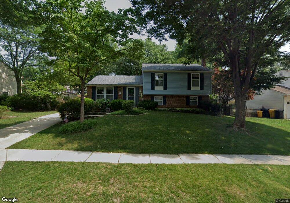
269 Way Cross Way Arnold, MD 21012
Estimated Value: $526,734 - $656,000
Studio
2
Baths
2,060
Sq Ft
$288/Sq Ft
Est. Value
About This Home
This home is located at 269 Way Cross Way, Arnold, MD 21012 and is currently estimated at $592,684, approximately $287 per square foot. 269 Way Cross Way is a home located in Anne Arundel County with nearby schools including Arnold Elementary School, Severn River Middle School, and Broadneck High School.
Ownership History
Date
Name
Owned For
Owner Type
Purchase Details
Closed on
Jun 1, 2023
Sold by
Koziuk Francis M
Bought by
Koziuk-Day Living Trust
Current Estimated Value
Purchase Details
Closed on
Jul 28, 1982
Bought by
Koziuk Francis M and Day Kathleen M
Home Financials for this Owner
Home Financials are based on the most recent Mortgage that was taken out on this home.
Original Mortgage
$78,500
Interest Rate
16.75%
Create a Home Valuation Report for This Property
The Home Valuation Report is an in-depth analysis detailing your home's value as well as a comparison with similar homes in the area
Home Values in the Area
Average Home Value in this Area
Purchase History
| Date | Buyer | Sale Price | Title Company |
|---|---|---|---|
| Koziuk-Day Living Trust | -- | None Listed On Document | |
| Koziuk Francis M | $88,700 | -- |
Source: Public Records
Mortgage History
| Date | Status | Borrower | Loan Amount |
|---|---|---|---|
| Previous Owner | Koziuk Francis M | $78,500 |
Source: Public Records
Tax History
| Year | Tax Paid | Tax Assessment Tax Assessment Total Assessment is a certain percentage of the fair market value that is determined by local assessors to be the total taxable value of land and additions on the property. | Land | Improvement |
|---|---|---|---|---|
| 2025 | $3,523 | $449,600 | -- | -- |
| 2024 | $3,523 | $409,500 | $258,500 | $151,000 |
| 2023 | $3,431 | $405,167 | $0 | $0 |
| 2022 | $3,216 | $400,833 | $0 | $0 |
| 2020 | $3,052 | $371,800 | $0 | $0 |
| 2019 | $5,966 | $347,100 | $0 | $0 |
| 2018 | $3,269 | $322,400 | $180,100 | $142,300 |
| 2017 | $2,802 | $322,400 | $0 | $0 |
| 2016 | -- | $322,400 | $0 | $0 |
| 2015 | -- | $326,400 | $0 | $0 |
| 2014 | -- | $325,567 | $0 | $0 |
Source: Public Records
Map
Nearby Homes
- 1078 Brightleaf Ct
- 394 Kings College Dr
- 303 Ternwing Dr
- 276 Overleaf Dr
- 1232 Taylor Ave
- 136 Collington Ct
- 1294 Circle Dr
- 1277 Ritchie Hwy Unit 195
- 1350 Ritchie Hwy
- 1199 Asquithpines Place
- 539 Greenblades Ct
- 371 Freshfield Ln
- 785 Macsherry Dr
- 1394 Baltimore Annapolis Blvd
- 208 Admirals Ct
- 1159 Greenhill Rd
- 559 Melissa Ct
- 413 Colonial Ridge Ln
- 1420 Gilbert Rd
- 1396 Baltimore Annapolis Blvd
- 267 Way Cross Way
- 271 Way Cross Way
- 432 Haven Holme Ct
- 265 Way Cross Way
- 266 Foxfire Ct
- 265 Waycross Way
- 270 Way Cross Way
- 270 Waycross Way
- 268 Way Cross Way
- 434 Haven Holme Ct
- 272 Way Cross Way
- 272 Waycross Way
- 264 Way Cross Way
- 268 Foxfire Ct
- 285 Way Cross Way
- 263 Way Cross Way
- 274 Way Cross Way
- 433 Haven Holme Ct
- 436 Haven Holme Ct
- 262 Way Cross Way
Your Personal Tour Guide
Ask me questions while you tour the home.