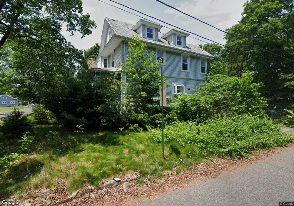
269 West St Mansfield, MA 02048
Estimated Value: $578,243 - $630,000
3
Beds
2
Baths
1,567
Sq Ft
$389/Sq Ft
Est. Value
About This Home
This home is located at 269 West St, Mansfield, MA 02048 and is currently estimated at $608,811, approximately $388 per square foot. 269 West St is a home located in Bristol County with nearby schools including Everett W. Robinson Elementary School, Jordan/Jackson Elementary School, and Harold L. Qualters Middle School.
Ownership History
Date
Name
Owned For
Owner Type
Purchase Details
Closed on
Aug 25, 1993
Sold by
Hayward Cynthia P and Demarest Cynthia H
Bought by
Giuggio Jean M
Current Estimated Value
Home Financials for this Owner
Home Financials are based on the most recent Mortgage that was taken out on this home.
Original Mortgage
$98,900
Interest Rate
7.06%
Mortgage Type
Purchase Money Mortgage
Purchase Details
Closed on
Jan 19, 1990
Sold by
Elo Douglas A
Bought by
Howard Cynthia P
Home Financials for this Owner
Home Financials are based on the most recent Mortgage that was taken out on this home.
Original Mortgage
$110,000
Interest Rate
9.68%
Mortgage Type
Purchase Money Mortgage
Purchase Details
Closed on
Jun 15, 1987
Sold by
White Ronald P
Bought by
Ela Douglas A
Home Financials for this Owner
Home Financials are based on the most recent Mortgage that was taken out on this home.
Original Mortgage
$65,000
Interest Rate
10.47%
Mortgage Type
Purchase Money Mortgage
Create a Home Valuation Report for This Property
The Home Valuation Report is an in-depth analysis detailing your home's value as well as a comparison with similar homes in the area
Home Values in the Area
Average Home Value in this Area
Purchase History
| Date | Buyer | Sale Price | Title Company |
|---|---|---|---|
| Giuggio Jean M | $135,900 | -- | |
| Howard Cynthia P | $150,500 | -- | |
| Ela Douglas A | $145,000 | -- |
Source: Public Records
Mortgage History
| Date | Status | Borrower | Loan Amount |
|---|---|---|---|
| Closed | Ela Douglas A | $98,900 | |
| Previous Owner | Ela Douglas A | $110,000 | |
| Previous Owner | Ela Douglas A | $65,000 |
Source: Public Records
Tax History
| Year | Tax Paid | Tax Assessment Tax Assessment Total Assessment is a certain percentage of the fair market value that is determined by local assessors to be the total taxable value of land and additions on the property. | Land | Improvement |
|---|---|---|---|---|
| 2025 | $5,961 | $452,600 | $209,500 | $243,100 |
| 2024 | $6,003 | $444,700 | $209,500 | $235,200 |
| 2023 | $5,798 | $411,500 | $209,500 | $202,000 |
| 2022 | $5,743 | $378,600 | $194,000 | $184,600 |
| 2021 | $947 | $339,400 | $169,800 | $169,600 |
| 2020 | $4,742 | $308,700 | $161,700 | $147,000 |
| 2019 | $4,586 | $301,300 | $134,700 | $166,600 |
| 2018 | $4,045 | $287,500 | $128,400 | $159,100 |
| 2017 | $3,981 | $280,600 | $124,600 | $156,000 |
| 2016 | $3,979 | $258,200 | $118,700 | $139,500 |
| 2015 | $3,816 | $246,200 | $118,700 | $127,500 |
Source: Public Records
Map
Nearby Homes
- 152 Central St
- 166 Chauncy St
- 150 Rumford Ave Unit 110
- 266 N Main St Unit 3
- 28 Court St
- 44 Fairfield Park Unit 44
- 22 Pleasant St Unit B
- 81 Chilson Ave
- 97 East St
- 25 Kingman Ave
- 122 Samoset Ave
- 46 Hope St
- 356 Central St
- 1769 West St
- 619 N Main St
- 4 Concetta Cir
- 7 Fieldstone Dr
- 1 Deer Path Ln
- 128 Tremont St
- 233 Central St
Your Personal Tour Guide
Ask me questions while you tour the home.