269 Wib Kendall Rd Blue Ridge, GA 30513
Estimated Value: $668,000 - $999,549
3
Beds
3
Baths
1,950
Sq Ft
$422/Sq Ft
Est. Value
About This Home
This home is located at 269 Wib Kendall Rd, Blue Ridge, GA 30513 and is currently estimated at $823,387, approximately $422 per square foot. 269 Wib Kendall Rd is a home located in Fannin County with nearby schools including Fannin County High School.
Ownership History
Date
Name
Owned For
Owner Type
Purchase Details
Closed on
Aug 25, 2006
Sold by
Liv On Mountain Time Ll
Bought by
Bourne Larry P and Bourne Tiffany D
Current Estimated Value
Home Financials for this Owner
Home Financials are based on the most recent Mortgage that was taken out on this home.
Original Mortgage
$279,000
Outstanding Balance
$167,550
Interest Rate
6.67%
Mortgage Type
New Conventional
Estimated Equity
$655,837
Purchase Details
Closed on
Aug 28, 2003
Sold by
Elkins Howard P
Bought by
Living On Mountain Time Llc
Create a Home Valuation Report for This Property
The Home Valuation Report is an in-depth analysis detailing your home's value as well as a comparison with similar homes in the area
Home Values in the Area
Average Home Value in this Area
Purchase History
| Date | Buyer | Sale Price | Title Company |
|---|---|---|---|
| Bourne Larry P | $350,000 | -- | |
| Living On Mountain Time Llc | $205,000 | -- |
Source: Public Records
Mortgage History
| Date | Status | Borrower | Loan Amount |
|---|---|---|---|
| Open | Bourne Larry P | $279,000 | |
| Closed | Bourne Larry P | $280,000 |
Source: Public Records
Tax History Compared to Growth
Tax History
| Year | Tax Paid | Tax Assessment Tax Assessment Total Assessment is a certain percentage of the fair market value that is determined by local assessors to be the total taxable value of land and additions on the property. | Land | Improvement |
|---|---|---|---|---|
| 2024 | $1,885 | $205,664 | $57,845 | $147,819 |
| 2023 | $1,720 | $168,700 | $50,726 | $117,974 |
| 2022 | $1,738 | $170,481 | $50,726 | $119,755 |
| 2021 | $1,458 | $103,956 | $48,412 | $55,544 |
| 2020 | $1,482 | $103,956 | $48,412 | $55,544 |
| 2019 | $1,434 | $98,687 | $48,412 | $50,275 |
| 2018 | $1,568 | $101,801 | $51,526 | $50,275 |
| 2017 | $1,810 | $102,282 | $51,170 | $51,112 |
| 2016 | $1,417 | $83,458 | $35,152 | $48,306 |
| 2015 | $1,494 | $84,205 | $35,152 | $49,053 |
| 2014 | $1,456 | $82,491 | $27,291 | $55,200 |
| 2013 | -- | $65,980 | $27,291 | $38,688 |
Source: Public Records
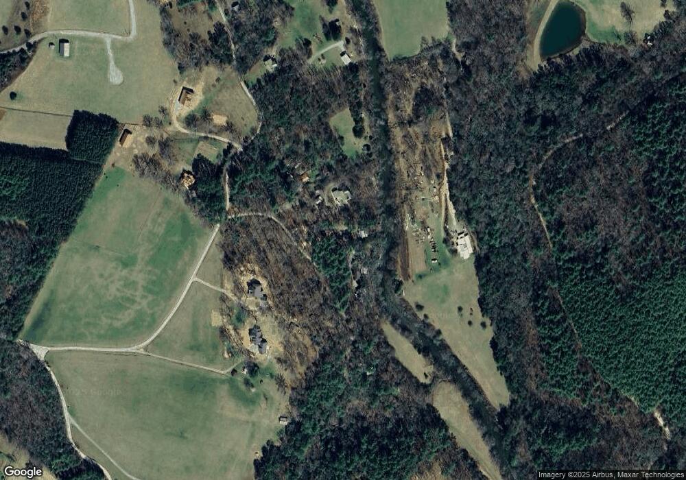
Map
Nearby Homes
- 0 Old Rock Creek Rd Unit 7619593
- 0 Old Rock Creek Rd Unit 10569014
- 47 Downy Rd
- 61 Amelia Ln
- 292 Silver Fox Trail
- 32 Grice Woods Rd
- 307 Pigeon Creek Rd
- 721 Dial Rd
- 3006 Doublehead Gap Rd
- 24376 Morganton Hwy
- 487 White Pine Trail
- 24444 Morganton Hwy
- Lot 61 White Pine Trail
- 33 Spruce Dr
- 72 Honeysuckle Way
- 136 Honeysuckle Way
- 312 White Pine Trail
- 250 Chinkapin Dr
- 321 Wib Kendall Rd
- 325 Wib Kendall Rd
- 265 Wib Kendall Rd
- 415 Wib Kendall Rd
- 329 Wib Kendall Rd
- 373 Wib Kendall Rd
- 68 Indian Village Rd
- 575 Mountain Valley Dr
- 419 Wib Kendall Rd
- 443 Wib Kendall Rd
- 223 Wib Kendall Rd
- 0 Wib Kendall Rd Unit 7260408
- 0 Wib Kendall Rd Unit 8575034
- 170 Indian Village Rd
- 84 Wib Kendall Rd
- LT 11 Indian Village Rd
- 0 Indian Village Rd Unit 306635
- 0 Indian Village Rd Unit 268101
- LOT10 Indian Village Rd
- LOT11 Indian Village Rd